Cdt
 Photo: Ken Lund from Reno, Nevada, USA, CC BY-SA 2.0 (via Wikimedia Commons)
- 28.8 mi
- round trip
- 1,746 ft
- climb
- 8,162 ft
- high point
- Out and back
- route
- Apr–Oct
- best months
Clear at last check
Weather is good · OpenWeather · checked 16 h ago
Cdt is a hard hike on Bureau of Land Management land in New Mexico, within the Rio Puerco Field Office. It is an out-and-back route that rises from a low point of 7,075 feet to a high of 8,162 feet, with an elevation gain of 1,746 feet. The route is about 57.6 miles long. Late spring and early fall are the most comfortable times to go. Typical averages from a nearby weather station at Pietown, at a similar elevation, show May highs around 73°F and September highs around 75°F, while July and August bring more wet days and highs near 80°F. El Malpais Road lies about 1.3 miles away, and Armijo Canyon Road is about 3.6 miles off. Lava Falls Trail Stop #6 and Lava Falls Trail Stop #7 are also about 3.6 miles away.
Local outfitters
- Pie Town RV Park28 mi away
- El Morro RV Park & Cabins29 mi away
Not on Roamze yet. Their page has how to reach them.
Best time to go · Apr–Oct
Best time to visit Cdt
Best months: April–October. Best months have typical highs of 55–85 °F, lows of 30 °F or warmer (32 °F where the station doesn't record snow), at most one snowy day and no more than 12 wet days.
Jan
43° / 20°
5 wet
Feb
47° / 23°
5 wet
Mar
56° / 27°
5 wet
Apr
64° / 33°
3 wet
May
73° / 41°
4 wet
Jun
83° / 50°
5 wet
Jul
83° / 53°
11 wet
Aug
80° / 52°
12 wet
Sep
75° / 46°
7 wet
Oct
64° / 37°
5 wet
Nov
52° / 27°
4 wet
Dec
43° / 20°
5 wet
Typical high / low (°F) and days with rain or snow, 1991–2020. Measured at Pietown 19ne, NM, 16.5 mi away at 7,961 ft. This station doesn't record snowfall. Source: NOAA NCEI U.S. Climate Normals 1991–2020.
Keep exploring — more trails worth the drive
 Photo: unknown goverment employee, Public domain (via Wikimedia Commons)
Armijo Canyon Road
~6 min drive
1.30-mile out-and-back trail in Armijo Canyon with 111 ft of elevation gain.
HIKE
Lava Falls Trail Stop #6
~6 min drive
Although lava rock does not have many nutrients for plants to use, the McCartys lava creates a reservoir of precious water plants need to survive. Water trickles through the cracks of the rock and collects beneath the lava while still protected from the intense sunlight and…
Photo: unknown goverment employee, Public domain (via Wikimedia Commons)Cdt Jkgcc
~8 min drive
5.24-mile out-and-back trail in New Mexico with 824 ft elevation gain.
 Photo: RuggyBearLA, CC BY-SA 2.0 (via Flickr)
The Narrows Rim Trail
~24 min drive
3.67-mile out-and-back hike in New Mexico with 1,197 ft gain.
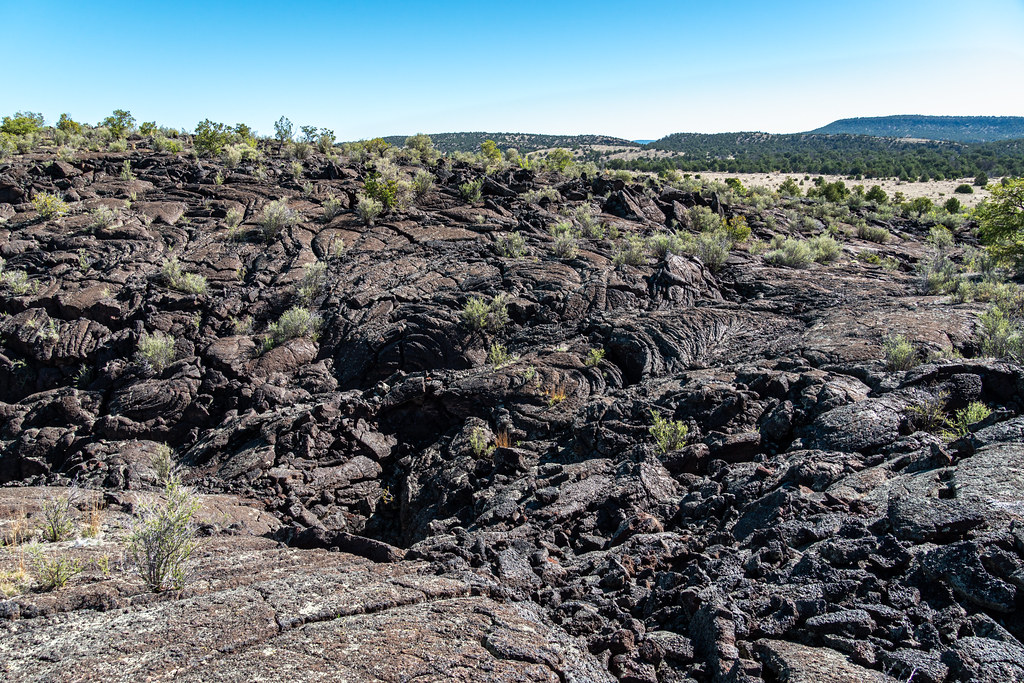 Photo: dconvertini, CC BY-SA 2.0 (via Flickr)
Lava Falls Trail (cairned)
~6 min drive
0.97-mile loop with 72 ft elevation gain in New Mexico
HIKE
Lava Falls Trail Stop #7
~6 min drive
Pockets of Life Lava does not always stay the same when it stops moving. As lava is exposed to outside air, it begins to cool. As lava cools, it contracts or shrinks, cracks, and sometimes falls apart. Rock may break apart and fall if there is nothing below a rock ceiling to…
HIKE
Continental Divide Trail
~30 min drive
5.88-mile out-and-back trail on the Continental Divide in New Mexico.
HIKE
Sand Canyon Road
~10 min drive
4.57-mile out-and-back trail in New Mexico with 222 ft elevation gain.
Photo: RuggyBearLA, CC BY-SA 2.0 (via Flickr)Cdt-Alt Ley Bushwhack
~24 min drive
0.91-mile out-and-back trail in New Mexico with 183 ft elevation gain.
HIKE
Lava Falls Trail Stop #8
~6 min drive
Wilderness: A Tricky Value to Define Most of El Malpais National Monument, including this trail, is managed as wilderness. Managing wilderness is a balance between maintaining an untrammeled and undeveloped area in a way that prevents future damage while also promoting…

Map and trail data © OpenStreetMap contributors
