Juan
- 3.9 mi
- round trip
- 629 ft
- climb
- 7,851 ft
- high point
- Out and back
- route
- Apr–Jun, Aug–Oct
- best months
Juan is a moderate hike of about 3.9 miles on natural surface in Tesuque Creek Open Space, county land about 3.6 miles from the village of Tesuque, New Mexico. The trail is an out-and-back with a one-way climb of about 629 feet, from a low point of 7,230 feet to a high of 7,851 feet. Spring and fall are the most comfortable times to go. Typical averages from a nearby weather station at Santa Fe Seton show May highs around 73°F and October highs around 66°F, while July and August bring the most wet days, about 11 each month. Bikes are allowed on the trail. The Little Tesuque mountain biking area is just 0.2 miles away, and the South Summit Trail is about a mile off. For an overnight stay, Black Canyon (New) Campground is roughly 2.8 miles away.
Local outfitters
- Turquoise Trail Campground49 mi away
Not on Roamze yet. Their page has how to reach them.
Best time to go · Apr–Jun, Aug–Oct
Best time to visit Juan
Best months: April–June and August–October. Best months have typical highs of 55–85 °F, lows of 30 °F or warmer (32 °F where the station doesn't record snow), at most one snowy day and no more than 12 wet days.
Jan
43° / 21°
5 wet
Feb
47° / 23°
5 wet
Mar
56° / 29°
5 wet
Apr
63° / 34°
4 wet
May
73° / 44°
4 wet
Jun
84° / 54°
6 wet
Jul
86° / 57°
11 wet
Aug
83° / 56°
11 wet
Sep
77° / 50°
7 wet
Oct
66° / 39°
6 wet
Nov
52° / 28°
5 wet
Dec
42° / 21°
6 wet
Typical high / low (°F) and days with rain or snow, 1991–2020. Measured at Santa Fe Seton, NM, 9 mi away at 7,000 ft. The station sits about 900 ft lower than this place, so expect it a little cooler here. This station doesn't record snowfall. Source: NOAA NCEI U.S. Climate Normals 1991–2020.
Keep exploring — more trails worth the drive
 Photo: Pete Stewart from Perth, Australia, CC BY-SA 2.0 (via Wikimedia Commons)
Chamisa Trail Alt Route
~2 min drive
2.2-mile out-and-back trail in New Mexico with 611 ft elevation gain/loss
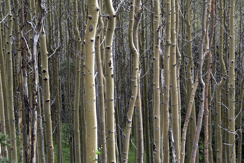 Photo: awsheffield, CC BY 2.0 (via Flickr)
Galbaldon Trail
~3 min drive
2.72-mile out-and-back trail in New Mexico with 1,515 ft elevation gain and loss.
 Photo: steveilott, CC BY 2.0 (via Flickr)
Tesuque Creek
~8 min drive
6.96-mile out-and-back trail in New Mexico with 2,987 ft elevation gain.
Photo: Pete Stewart from Perth, Australia, CC BY-SA 2.0 (via Wikimedia Commons)Aztec Springs Trail
~2 min drive
3.2-mile out-and-back hike at 7,865 ft elevation in New Mexico
 Photo: Michael Zanussi, CC BY 2.0 (via Flickr)
Saddleback
~3 min drive
4.98-mile out-and-back trail in New Mexico with 671 ft elevation gain.
 Photo: KathyKnorr - Santa Fe - New Mexico, CC BY-SA 2.0 (via Flickr)
Ann Nitze Hiking Trail
~4 min drive
0.62-mile out-and-back hike with 212 ft elevation gain in New Mexico.
Photo: awsheffield, CC BY 2.0 (via Flickr)West Circle Trail
~5 min drive
4.3-mile out-and-back trail in New Mexico with 1,874 ft elevation gain and loss.
 Photo: Matt Lavin, CC BY-SA 2.0 (via Flickr)
Bear Canyon Trail
~5 min drive
2.3-mile out-and-back hike in New Mexico with 803 ft gain/loss.
 Photo: Bryan Ungard from Santa Fe, New Mexico, USA, CC BY-SA 2.0 (via Wikimedia Commons)
Atalaya
~7 min drive
Atalaya is a 4.68-mile out-and-back trail in New Mexico with 1,745 feet of elevation gain.
Photo: Michael Zanussi, CC BY 2.0 (via Flickr)East Circle Trail
~5 min drive
1.78-mile out-and-back trail in New Mexico with 515 ft elevation gain
