Hogback Trail
- 0.4 mi
- round trip
- 208 ft
- climb
- 6,932 ft
- high point
- Out and back
- route
- Apr–Jun, Aug–Oct
- best months
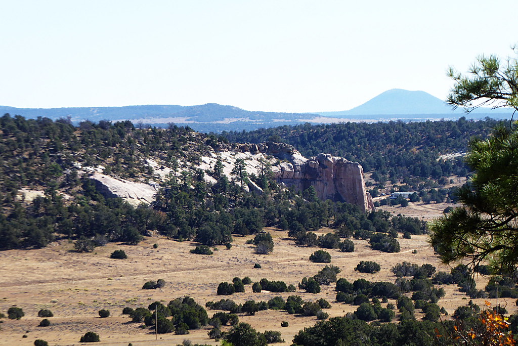
Hogback Trail is an easy 0.4-mile out-and-back hike in the Navajo Region Fire and Aviation Management area of New Mexico. The round trip covers about 0.8 miles with a total elevation gain of 208 feet, which makes the climb gentle and suitable for a short outing. The most comfortable months for a visit are typically May and September. Typical averages from a nearby weather station at Gallup run to highs around 74°F in May and 79°F in September, while July and August bring the most wet days of the year. Water Tank Trail lies about 0.6 miles away, and the Barn Yard climbing area is roughly 3 miles off. Todd's Boulders and the North Hogback Trail are both within about 3.4 miles.
Local outfitters
- El Morro RV Park & Cabins38 mi away
Not on Roamze yet. Their page has how to reach them.
- Water Tank TrailHiking0.6 mi
- The Barn YardRock climbing3 mi
- Todd's BouldersRock climbing3.2 mi
- North Hogback TrailHiking3.4 mi
 Pyramid Rock TrailHikingPhoto: dconvertini, CC BY-SA 2.0 (via Flickr)3.7 mi
- Hillside TrailHiking4.1 mi
 Church Rock LoopHikingPhoto: kalestews, CC BY 2.0 (via Flickr)4.4 mi
- Gallup AreaRock climbingPhoto: kalestews, CC BY 2.0 (via Flickr)4.6 mi
Source: Roamze catalog (indexable pages within 10 miles, PostGIS distance)
- Pyramid Rock TrailHiking · ~6 min drivePhoto: dconvertini, CC BY-SA 2.0 (via Flickr)
- Northeastern portion of High Desert Trail SystemHiking · ~11 min drive
- Milk RanchHiking · ~14 min drive
- Church Rock LoopHiking · ~7 min drivePhoto: kalestews, CC BY 2.0 (via Flickr)
- Large loop of the High Desert Trail SystemHiking · ~13 min drive
- Purple HazeHiking · ~14 min drive
 Inscription Rock Trail LoopHiking · ~1h 4m drivePhoto: volkerschmidt2, Public Domain Dedication (CC0) (via Flickr)
- Smokin HandlebarHiking · ~16 min drive
- SawmillHiking · ~16 min drive
- Mesa Top Trail LoopHiking · ~1h 4m drivePhoto: volkerschmidt2, Public Domain Dedication (CC0) (via Flickr)
Best time to visit Hogback Trail
Best months: April–June and August–October. Best months have typical highs of 55–85 °F, lows of 30 °F or warmer (32 °F where the station doesn't record snow), at most one snowy day and no more than 12 wet days.
Jan
44° / 16°
6 wet · 4 snow
Feb
48° / 20°
5 wet · 3 snow
Mar
57° / 24°
4 wet · 2 snow
Apr
65° / 32°
4 wet · 1 snow
May
74° / 40°
4 wet
Jun
85° / 49°
3 wet
Jul
87° / 57°
9 wet
Aug
84° / 55°
10 wet
Sep
79° / 47°
7 wet
Oct
68° / 34°
5 wet
Nov
55° / 24°
4 wet · 1 snow
Dec
44° / 16°
6 wet · 3 snow
Typical high / low (°F) and days with rain or snow, 1991–2020. Measured at Gallup Sand & Gravel, NM, 2.5 mi away at 6,577 ft. Source: NOAA NCEI U.S. Climate Normals 1991–2020.
Map and trail data © OpenStreetMap contributors
