Flying V
- 4.0 mi
- round trip
- 299 ft
- climb
- 7,769 ft
- high point
- Out and back
- route
Is Flying V open right now?
Closure in the area
There's a closure order in Gila National Forest. It doesn't name Flying V, so check the source for the area it covers (2 listed).
Beaverhead Water Non-Potable
Agency closure covering Gila National Forest · USFS · Gila National Forest
Ben Lilly and Willow Creek Campground Closure
Agency closure covering Reserve Ranger District · Order 03-06-06-26-001 · USFS · Reserve Ranger District
Harmful algae detected in Lake Roberts
Agency alert covering Gila National Forest · USFS · Gila National Forest
Potentially Dangerous Animal Encounters
Agency alert covering Gila National Forest · USFS · Gila National Forest
As of · Source: USFS · Gila National Forest. Agencies don't list every closure — check before you go.
Flying V is a 4-mile out-and-back hike in the Gila Wilderness, part of the Reserve Ranger District of Gila National Forest in New Mexico. The trail rises from a low point of 7,475 feet to a high of 7,769 feet, a climb of about 300 feet, and is rated moderate. The Forest Service manages the land. The route is natural-surfaced and allows horses, but not bikes. It works well as a day trip in the wilderness, and the trail is open year-round. For comfortable weather, aim for late spring or early fall. Typical averages from a nearby weather station at Luna put May highs around 75°F and October highs around 71°F, while July and August bring the most wet days, about 14 and 15 a month. Canyon Creek is about 1.4 miles away, and Aeroplane Mesa Trail #705 is about 3.1 miles off. Snow Lake, about 5.8 miles away, offers fishing, and the Middle Fork Gila River, about 6.4 miles away, is a canoeing option.
- Canyon CreekHiking1.4 mi
- Aeroplane Mesa Trail #705Hiking3.1 mi
- Flying V Trail #706Hiking4.1 mi
- Loco Mountain Trail #143Hiking4.7 mi
- Meadows Trail #53Hiking4.9 mi
- Snow LakeLake fishing5.8 mi
- Snow Lake Boat LaunchLake fishing6 mi
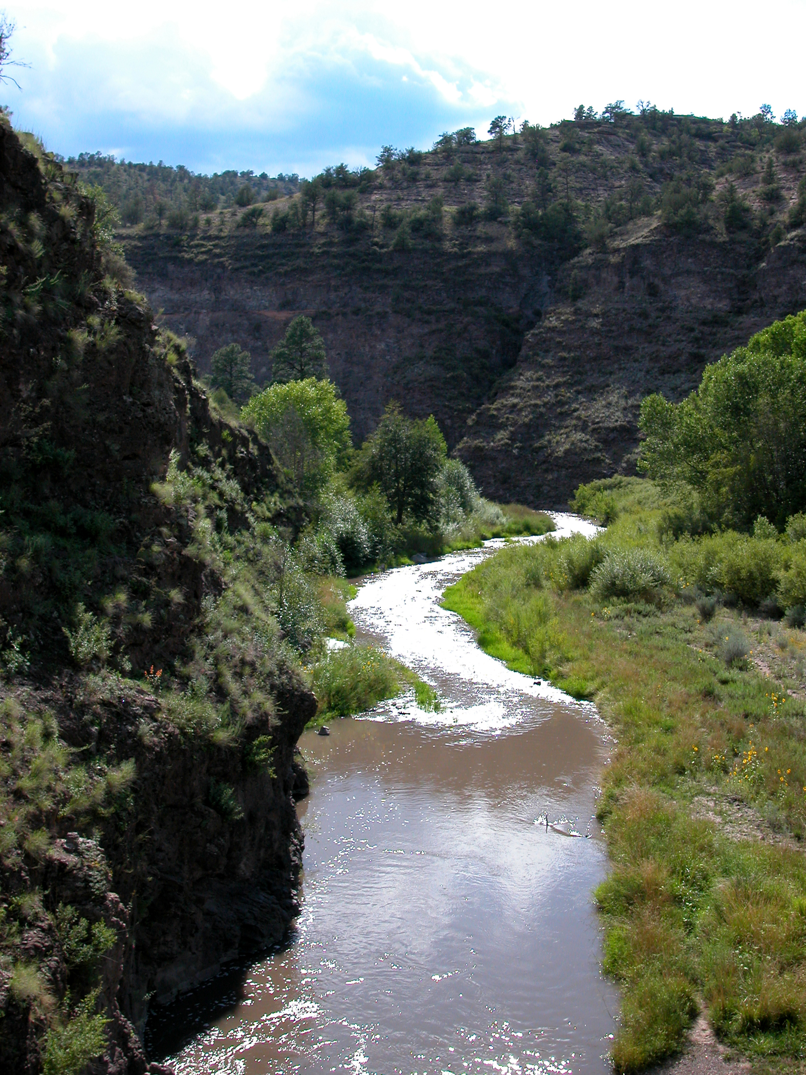 Middle Fork Gila RiverCanoeingPhoto: Joe Burgess, Public domain (via Wikimedia Commons)6.4 mi
Source: Roamze catalog (indexable pages within 10 miles, PostGIS distance)
- Canyon CreekHiking · ~2 min drive
- Flying V Trail #706Hiking · ~7 min drive
- MeadowHiking · ~9 min drive
- Lilley Park Trail #164Hiking · ~14 min drive
- Aeroplane Mesa Trail #705Hiking · ~5 min drive
- Meadows Trail #53Hiking · ~8 min drive
- Snow Canyon Trail #142Hiking · ~9 min drive
- Green Fly Trail #26Hiking · ~10 min drive
- Clear CreekHiking · ~10 min drive
- Sam MartinHiking · ~9 min drive
