Elkhorn - Flume Canyon Trail
- 1.5 mi
- round trip
- 1,587 ft
- climb
- 8,549 ft
- high point
- Out and back
- route
- May–Jun, Sep
- best months
Elkhorn - Flume Canyon Trail is a 3.1-mile out-and-back hike in northern New Mexico, about 4.3 miles from the town of Ute Park. The trail starts at the high point of 8,549 feet and descends to a low of 7,756 feet, with a total elevation gain of 1,587 feet for the round trip. The climb is back-loaded, with the steepest stretch at about 0.4 miles from the start, where the grade reaches 23%. The most comfortable months for a visit are typically late spring and early fall. Typical averages from the nearby Eagle Nest weather station, at a similar elevation, show May highs around 66°F and September highs around 72°F, while July and August bring the most wet days, about 15 each month. The hike takes about two hours to complete. Two other routes sit about 0.8 miles away: Flume Canyon to Bent Trail and Elkhorn - Flume Canyon Alternate Trail. Climbers can find Probe 1 about 3.7 miles off, and Webster Parks Camp offers camping roughly 7.8 miles away.
Local outfitters
- Taos Mountain Outfitters31 mi away
Not on Roamze yet. Their page has how to reach them.
- Flume Canyon to Bent TrailHiking0.8 mi
- Elkhorn - Flume Canyon Alternate TrailHiking0.8 mi
 Dean Cutoff - Flume Canyon TrailHikingPhoto: sprague, CC BY 2.0 (via Flickr)1.3 mi
- Pueblano to Flume Canyon TrailHiking1.3 mi
- Head of Dean - Santa Claus TrailHiking1.5 mi
- Probe 1Rock climbing3.7 mi
- MavericksRock climbing4.1 mi
- Webster Parks CampCamping7.8 mi
Source: Roamze catalog (indexable pages within 10 miles, PostGIS distance)
- Dean Cutoff - Flume Canyon TrailHiking · ~2 min drivePhoto: sprague, CC BY 2.0 (via Flickr)
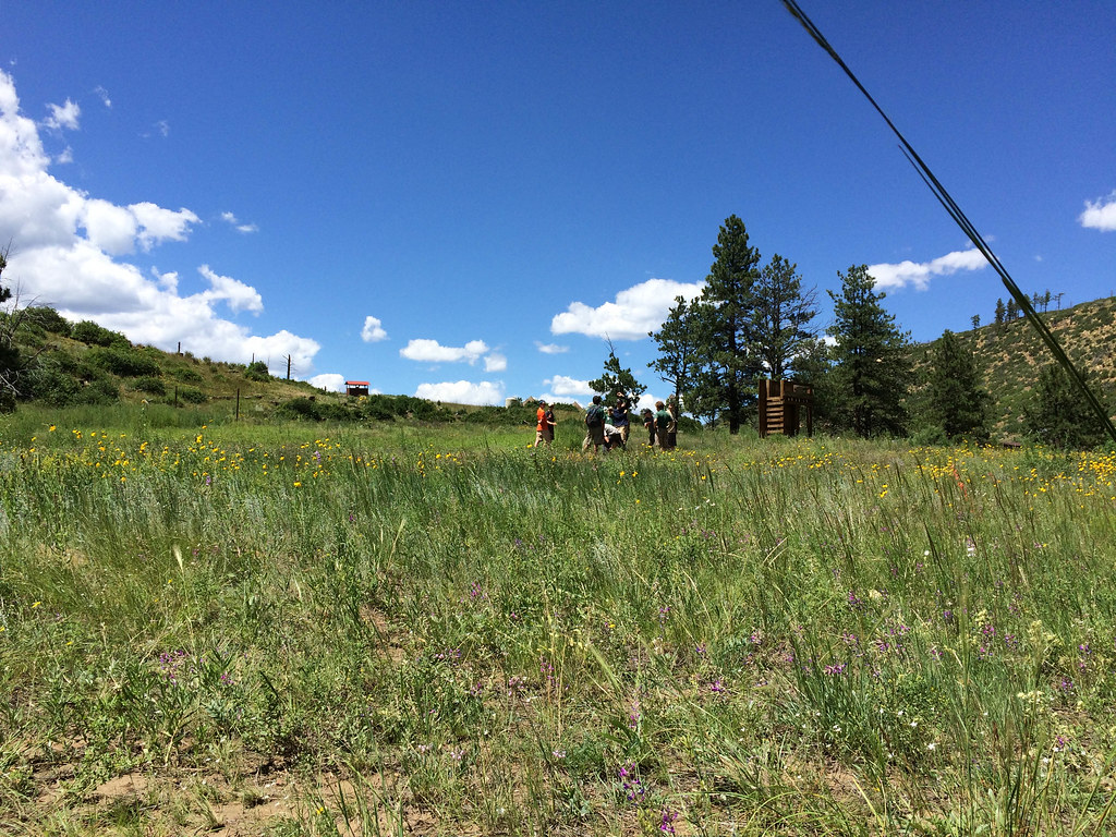 Rich Cabins to Dan Beard TrailHiking · ~6 min drivePhoto: sprague, CC BY 2.0 (via Flickr)
- Pueblano to Baldy Skyline TrailHiking · ~3 min drive
 Dean Cutoff South Access TrailHiking · ~3 min drivePhoto: sprague, CC BY 2.0 (via Flickr)
- Elkhorn - Flume Canyon Alternate TrailHiking · ~1 min drive
- Cimarron River - Santa Claus TrailHiking · ~6 min drive
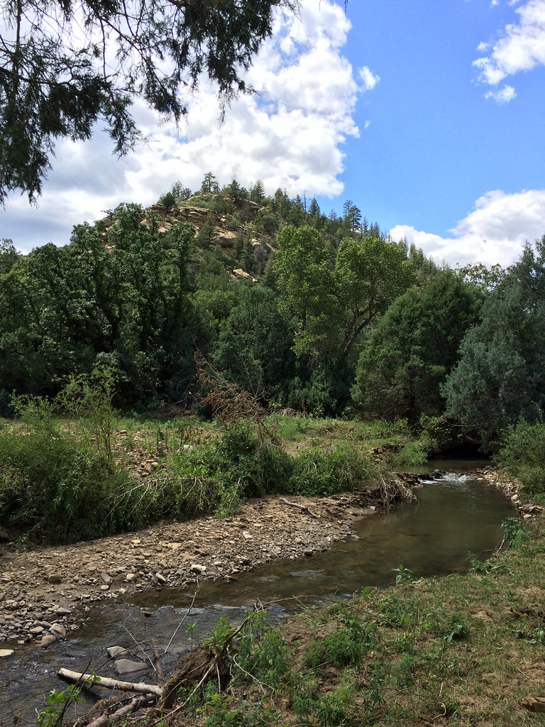 Ponil Turnaround - Ponil TrailHiking · ~5 min drivePhoto: sprague, CC BY 2.0 (via Flickr)
- Head of Dean - Upper Dean Cow TrailHiking · ~3 min drive
- Trail Canyon to Dean CowHiking · ~7 min drive
- Bent to Dan Beard TrailHiking · ~8 min drivePhoto: sprague, CC BY 2.0 (via Flickr)
Best time to visit Elkhorn - Flume Canyon Trail
Best months: May–June and September. Best months have typical highs of 55–85 °F, lows of 30 °F or warmer (32 °F where the station doesn't record snow), at most one snowy day and no more than 12 wet days.
Jan
39° / 5°
7 wet
Feb
42° / 10°
7 wet
Mar
49° / 18°
8 wet
Apr
56° / 24°
8 wet
May
66° / 32°
7 wet
Jun
77° / 38°
9 wet
Jul
79° / 44°
15 wet
Aug
77° / 43°
15 wet
Sep
72° / 35°
9 wet
Oct
62° / 25°
6 wet
Nov
49° / 15°
6 wet
Dec
39° / 6°
7 wet
Typical high / low (°F) and days with rain or snow, 1991–2020. Measured at Eagle Nest, NM, 10.7 mi away at 8,280 ft. This station doesn't record snowfall. Source: NOAA NCEI U.S. Climate Normals 1991–2020.

Map and trail data © OpenStreetMap contributors
