Coronado State Monument
Campground
Campground · 12 mi from the trail
Devil's Trail is an easy out-and-back hike in New Mexico, about 9 miles from Santa Ana Pueblo. The route is 3.7 miles long, with a low point of 6,135 feet and a high of 6,239 feet, so the climb is a gentle 118 feet of elevation gain over the course of the trip. Spring and fall are the most comfortable times to go. Typical averages from a nearby weather station in Rio Rancho show October highs around 72°F with lows near 41°F, and April is similar at about 72°F by day and 39°F at night. That station sits roughly 1,000 feet lower than the trail, so temperatures on the trail run cooler. Devil's Claw is the closest neighbor, about half a mile away, and Rock Tumbler is about 2 miles off. Coyote Ridge and Tres Caballos are both within about 3 miles.
Coronado State Monument
Campground
Screaming Coyote
Restaurant
Corrales Historical Society
Museum
Places © OpenStreetMap contributors
More in Santo Domingo PuebloNot on Roamze yet. Their page has how to reach them.
Source: Roamze catalog (indexable pages within 10 miles, PostGIS distance)
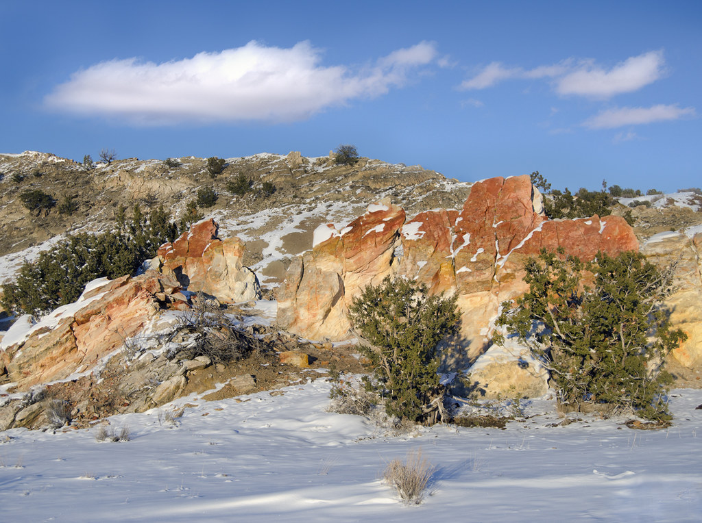 Dragon's Back TrailHiking · ~16 min drivePhoto: snowpeak, CC BY 2.0 (via Flickr)
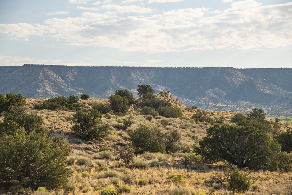 Enchanted Hills TrailHiking · ~18 min drivePhoto: USDAgov, Public Domain Mark (via Flickr)
 White Mesa Bike TrailHiking · ~21 min drivePhoto: Matt Lavin, CC BY-SA 2.0 (via Flickr)
 Seismosaurus TrailHiking · ~19 min drivePhoto: John Fowler from Placitas, NM, USA, CC BY 2.0 (via Wikimedia Commons)
 Perea Nature TrailHiking · ~19 min drivePhoto: Alexander Hatley, CC BY 2.0 (via Flickr)
 Rio Rancho Bosque South TrailHiking · ~20 min drivePhoto: snowpeak, CC BY 2.0 (via Flickr)
 Rio Rancho South Bosque Connection PathHiking · ~20 min drivePhoto: John Fowler from Placitas, NM, USA, CC BY 2.0 (via Wikimedia Commons)Corrales North Irrigation Mixed Use TrailHiking · ~20 min drivePhoto: John Fowler from Placitas, NM, USA, CC BY 2.0 (via Wikimedia Commons)Rio Rancho Bosque North Loop TrailHiking · ~21 min drivePhoto: John Fowler from Placitas, NM, USA, CC BY 2.0 (via Wikimedia Commons)
Best months: March–May and September–October. Best months have typical highs of 55–85 °F, lows of 30 °F or warmer (32 °F where the station doesn't record snow), at most one snowy day and no more than 12 wet days.
Jan
47° / 22°
4 wet · 2 snow
Feb
54° / 25°
3 wet · 1 snow
Mar
63° / 32°
3 wet · 1 snow
Apr
72° / 39°
3 wet
May
80° / 48°
5 wet
Jun
92° / 58°
4 wet
Jul
94° / 63°
9 wet
Aug
91° / 61°
10 wet
Sep
84° / 54°
8 wet
Oct
72° / 41°
5 wet
Nov
58° / 29°
3 wet · 1 snow
Dec
47° / 23°
5 wet · 2 snow
Typical high / low (°F) and days with rain or snow, 1991–2020. Measured at Rio Rancho #1, NM, 10.8 mi away at 5,230 ft. The station sits about 1,000 ft lower than this place, so expect it a little cooler here. Source: NOAA NCEI U.S. Climate Normals 1991–2020.
Map and trail data © OpenStreetMap contributors
