Cedar Springs Canyon Trail
- 0.9 mi
- round trip
- 414 ft
- climb
- 7,328 ft
- high point
- Out and back
- route
- May–Jun, Sep
- best months
Is Cedar Springs Canyon Trail open right now?
Alert in the area
The Forest Service lists 4 alerts for Carson National Forest.
High-Elevation Snow Conditions
Agency alert covering Carson National Forest · USFS · Carson National Forest
Post-Storm Road Conditions
Agency alert covering Jicarilla Ranger District · USFS · Jicarilla Ranger District
Current Prescribed Fire Activity and Plans
Agency alert covering Carson National Forest · USFS · Carson National Forest
Current Fire Restrictions and Related Prohibitions
Agency alert covering Carson National Forest · USFS · Carson National Forest
As of · Source: USFS · Carson National Forest. Agencies don't list every closure — check before you go.
Cedar Springs Canyon Trail is a short, easy hike in the Jicarilla Ranger District of Carson National Forest in northern New Mexico, managed by the Forest Service. The trail is an out-and-back route of about 1.7 miles, with a total elevation gain of 414 feet. The high point is 7,328 feet, and the low point is 7,221 feet, so the climb is gentle and the trail is well suited to a quick outing. The steepest stretch comes at about 0.42 miles into the hike, where the grade reaches 7 percent. The trail starts at the higher end of the route, so the climb is split between the first half and the return. The trip takes about an hour, and the Forest Service manages the land. For comfortable weather, late spring and early fall are the best bets. Typical averages from a nearby weather station in Dulce, about 23 miles away, show May highs around 74°F and September highs near 79°F, with July and August the warmest and wettest months. La Jara Overlook Trail lies about 2.8 miles away and makes a good pairing for a longer day in the area.
Local outfitters
- Wilderness Journeys Pagosa42 mi away
- Pagosa Pines RV Park43 mi away
Not on Roamze yet. Their page has how to reach them.
Source: Roamze catalog (indexable pages within 10 miles, PostGIS distance)
 Watchable Wildlife Overlook TrailHiking · ~47 min drivePhoto: Dicklyon, CC BY-SA 4.0 (via Wikimedia Commons)
- Navajo Lake TrailsHiking · ~31 min drive
- Navajo Lake Horse Trail 83Hiking · ~35 min drive
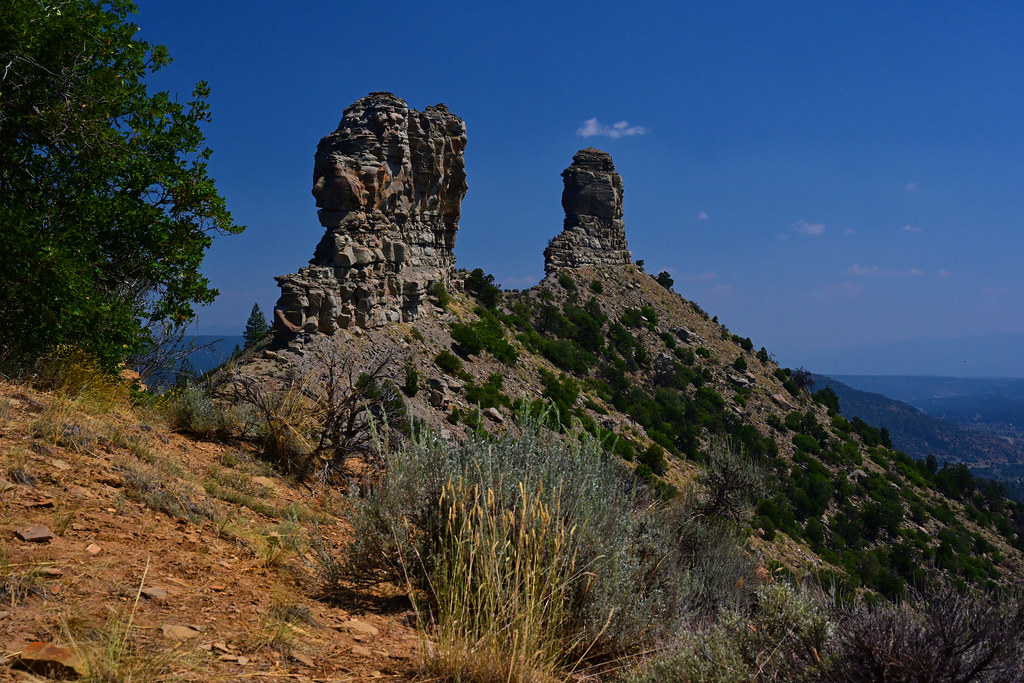 Great HouseHiking · ~1h 1m drivePhoto: stevehfung, CC BY-SA 2.0 (via Flickr)
- Navajo Lake TrailsHiking · ~44 min drive
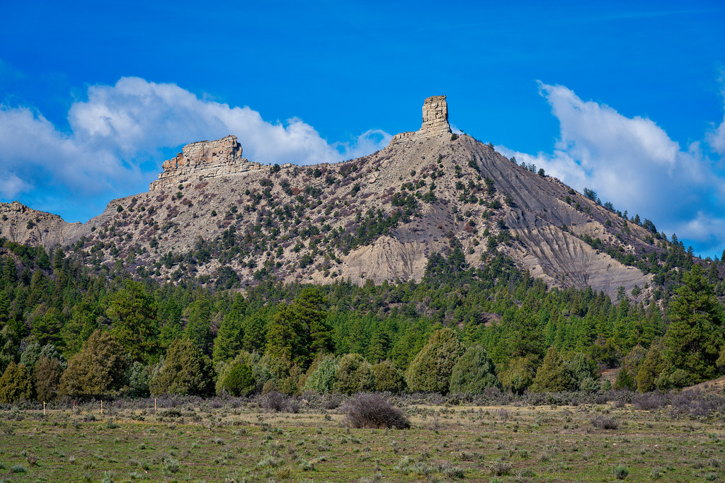 Chimney Rock Nature TrailHiking · ~60 min drivePhoto: Mobilus In Mobili, CC BY-SA 2.0 (via Flickr)
- Caballo Canyon TrailHiking · ~52 min drive
- La Jara Overlook TrailHiking · ~5 min drive
- Salmon Run TrailHiking · ~57 min drive
- Chicosa TrailHiking · ~23 min drive
Best time to visit Cedar Springs Canyon Trail
Best months: May–June and September. Best months have typical highs of 55–85 °F, lows of 30 °F or warmer (32 °F where the station doesn't record snow), at most one snowy day and no more than 12 wet days.
Jan
44° / 10°
7 wet
Feb
48° / 16°
8 wet
Mar
57° / 22°
8 wet
Apr
64° / 27°
7 wet
May
74° / 34°
7 wet
Jun
84° / 41°
6 wet
Jul
88° / 50°
11 wet
Aug
85° / 49°
13 wet
Sep
79° / 41°
9 wet
Oct
68° / 29°
7 wet
Nov
54° / 20°
6 wet
Dec
44° / 12°
8 wet
Typical high / low (°F) and days with rain or snow, 1991–2020. Measured at Dulce, NM, 23.2 mi away at 6,793 ft. The station sits about 500 ft lower than this place, so expect it a little cooler here. This station doesn't record snowfall. Source: NOAA NCEI U.S. Climate Normals 1991–2020.
Map and trail data © OpenStreetMap contributors
