Carrie Tingley Hill Trail Segment
- 0.9 mi
- round trip
- 66 ft
- climb
- 4,315 ft
- high point
- Out and back
- route
- Mar–Apr, Oct–Nov
- best months
Carrie Tingley Hill Trail Segment is a short, easy hike in southern New Mexico, about half a mile from the town of Truth or Consequences. The trail runs about 1.9 miles out and back, with a low point of 4,242 feet and a high of 4,315 feet, so the climb from start to top is about 66 feet one way. Spring and fall are the most comfortable times to go. Typical averages from a nearby weather station in Truth or Consequences show April and October highs around 79°F, while June and July highs reach about 97°F. Several other trails start close by. Broadway Street is about half a mile away and South Broadway Street is about 0.6 miles away. Turtleback Mountain Trail is about 1.5 miles off, and the Paseo Del Rio Trail is about 3 miles away.
Best time to go · Mar–Apr, Oct–Nov
Best time to visit Carrie Tingley Hill Trail Segment
Best months: March–April and October–November. Best months have typical highs of 55–85 °F, lows of 30 °F or warmer (32 °F where the station doesn't record snow), at most one snowy day and no more than 12 wet days.
Jan
58° / 27°
3 wet
Feb
64° / 31°
3 wet
Mar
71° / 38°
2 wet
Apr
79° / 44°
1 wet
May
88° / 54°
2 wet
Jun
97° / 63°
3 wet
Jul
97° / 68°
7 wet
Aug
95° / 66°
8 wet
Sep
89° / 59°
5 wet
Oct
79° / 47°
3 wet
Nov
67° / 35°
2 wet
Dec
57° / 28°
2 wet
Typical high / low (°F) and days with rain or snow, 1991–2020. Measured at Truth Or Consequences, NM, 1.7 mi away at 4,296 ft. This station doesn't record snowfall. Source: NOAA NCEI U.S. Climate Normals 1991–2020.
Keep exploring — more trails worth the drive
 Photo: uıɐɾ ʞ ʇɐɯɐs, CC BY-SA 2.0 (via Flickr)
Yost Escarpment Trail
~34 min drive
1.41-mile out-and-back trail in New Mexico with 4,732 ft elevation gain.
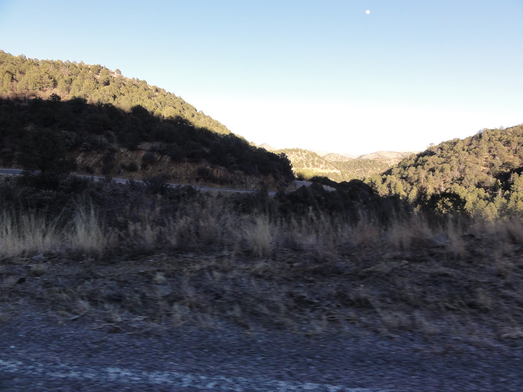 Photo: ossguy, CC BY-SA 2.0 (via Flickr)
SCENIC TRAIL
~53 min drive
2.78-mile out-and-back trail in New Mexico with 1,337 ft elevation gain and loss.
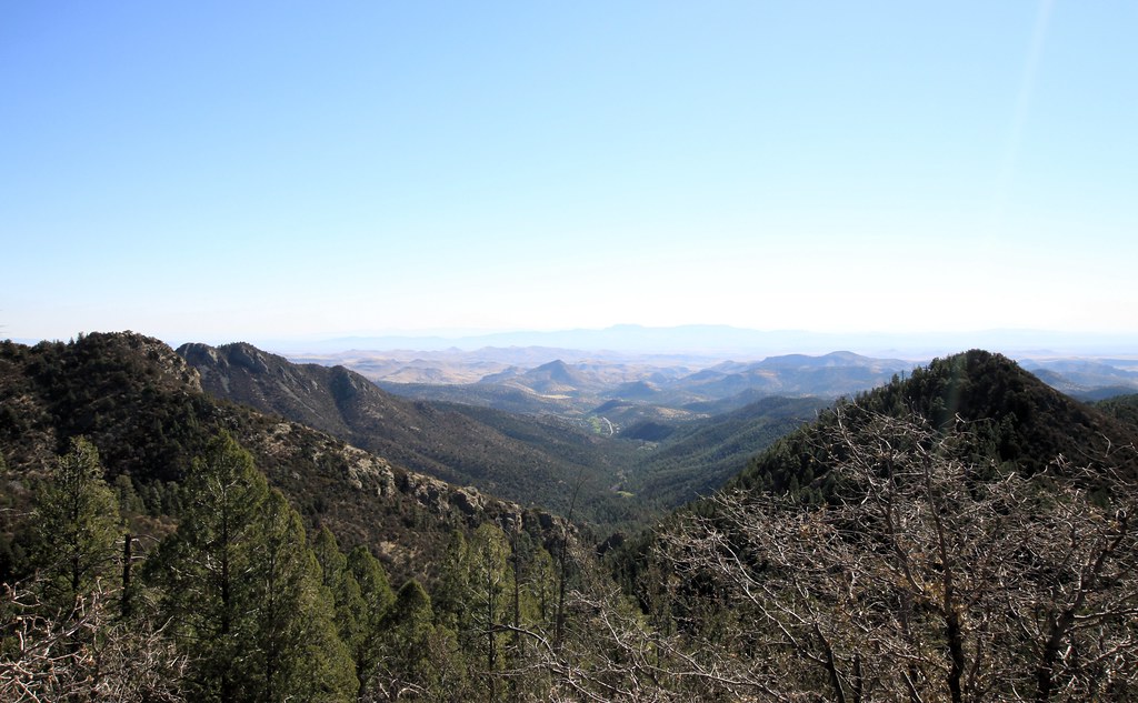 Photo: uıɐɾ ʞ ʇɐɯɐs, CC BY-SA 2.0 (via Flickr)
Scenic Trail
~57 min drive
8.32-mile out-and-back trail in New Mexico with 3,231 ft gain/loss.
HIKE
Rattlesnake Trail #107
~48 min drive
8.80-mile out-and-back trail in New Mexico with 2,875 ft elevation gain.
 Photo: uıɐɾ ʞ ʇɐɯɐs, CC BY-SA 2.0 (via Flickr)
Point of Rocks Trail
~43 min drive
0.45-mile loop trail in New Mexico with 46 ft elevation gain.
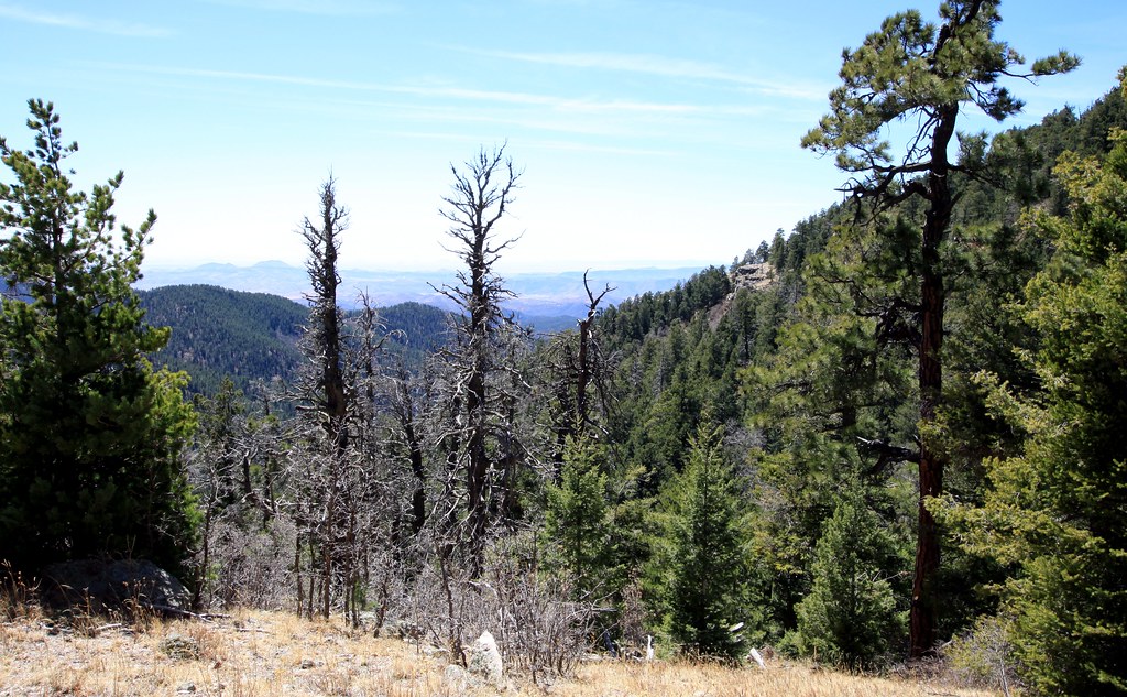 Photo: uıɐɾ ʞ ʇɐɯɐs, CC BY-SA 2.0 (via Flickr)
Old Mineral Creek
~55 min drive
2.56-mile out-and-back trail along Old Mineral Creek in New Mexico.
HIKE
West Lakeshore Trail
~14 min drive
Scenic 11.72-mile lakeshore trail with gentle elevation gain and lake views.
HIKE
Burma Road
~54 min drive
13.27-mile out-and-back trail in New Mexico with 2,831 ft elevation gain.
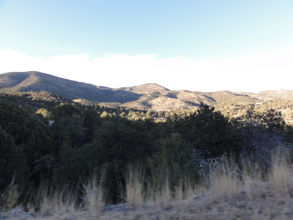 Photo: ossguy, CC BY-SA 2.0 (via Flickr)
Iron
~52 min drive
Easy 1.18-mile out-and-back hike in Iron, New Mexico.
 Photo: uıɐɾ ʞ ʇɐɯɐs, CC BY-SA 2.0 (via Flickr)
Ladrone Gulch Trail #127
~56 min drive
2.71-mile out-and-back trail in New Mexico with 535 ft elevation gain.

Map and trail data © OpenStreetMap contributors
