Camino Crossing Walking path
- 0.7 mi
- round trip
- 70 ft
- climb
- 5,815 ft
- high point
- Out and back
- route
- Mar–May, Oct
- best months
Camino Crossing Walking path is a short, easy out-and-back hike in New Mexico, about 5 miles from Rio Rancho Estates. The route is 1.3 miles long, with a total elevation gain of 70 feet, and it is rated easy. The path is nearly flat, with the steepest stretch at about 0.22 miles in, where the grade reaches 3 percent. The high point is 5815 feet, and the low point is 5767 feet, so the climb is gentle and the return is just as easy. Spring and fall are the most comfortable times to go. Typical averages from a nearby weather station in Rio Rancho show April highs around 73°F and October highs around 74°F, while July and August average in the low 90s. The hike takes about half an hour, so it works well as a quick stop. Nearby options include Rock Tumbler, Cayenne Loop and Highland Ridge, all within about 6 miles.
Local outfitters
- Turquoise Trail Campground23 mi away
Not on Roamze yet. Their page has how to reach them.
- Rock TumblerHiking5.7 mi
- Cayenne LoopHiking6 mi
- Highland RidgeHiking6.3 mi
- Mini Badlands LoopHiking6.5 mi
- Mini BadlandsHiking6.5 mi
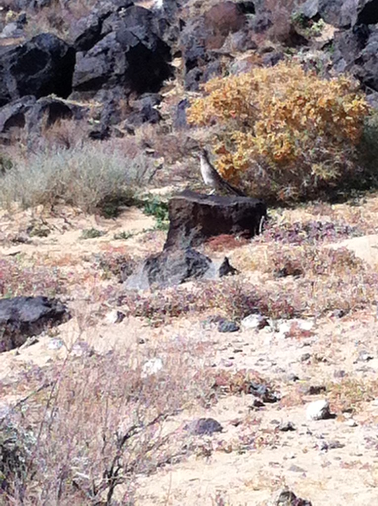 Piedras Marcadas North Rim TrailHikingPhoto: False Positives, CC BY 2.0 (via Flickr)6.7 mi
- Piedras Marcadas TrailHikingPhoto: False Positives, CC BY 2.0 (via Flickr)6.8 mi
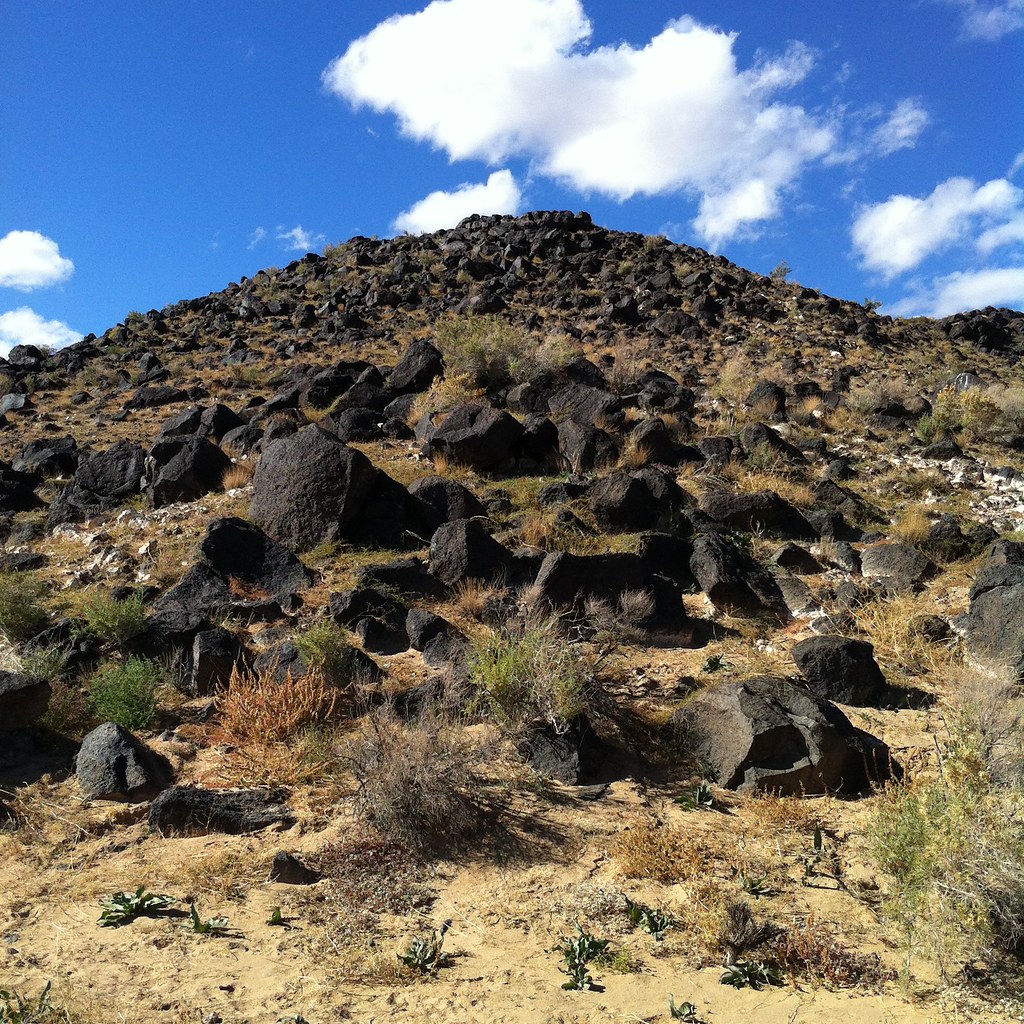 Piedras Marcadas Trail SouthHikingPhoto: False Positives, CC BY 2.0 (via Flickr)6.8 mi
Source: Roamze catalog (indexable pages within 10 miles, PostGIS distance)
- Piedras Marcadas North Rim TrailHiking · ~12 min drivePhoto: False Positives, CC BY 2.0 (via Flickr)
- Tres CaballosHiking · ~12 min drive
- Volcano View TrailHiking · ~12 min drive
- Piedras Marcadas TrailHiking · ~12 min drivePhoto: False Positives, CC BY 2.0 (via Flickr)
- Paseo De Las Mesa Recreational TrailHiking · ~12 min drive
- Piedras Marcadas Trail SouthHiking · ~12 min drivePhoto: False Positives, CC BY 2.0 (via Flickr)
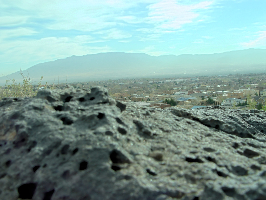 North Rim TrailHiking · ~12 min drivePhoto: drewgstephens, CC BY-SA 2.0 (via Flickr)
 High View Connector TrailHiking · ~12 min drivePhoto: rbaire, CC BY-SA 2.0 (via Flickr)
 Volcano Heights TrailHiking · ~13 min drivePhoto: RuggyBearLA, CC BY-SA 2.0 (via Flickr)
 Cliff Base TrailHiking · ~14 min drivePhoto: btwashburn, CC BY 2.0 (via Flickr)
Best time to visit Camino Crossing Walking path
Best months: March–May and October. Best months have typical highs of 55–85 °F, lows of 30 °F or warmer (32 °F where the station doesn't record snow), at most one snowy day and no more than 12 wet days.
Jan
50° / 24°
3 wet
Feb
56° / 28°
3 wet
Mar
66° / 34°
3 wet
Apr
73° / 41°
3 wet
May
81° / 49°
3 wet
Jun
93° / 59°
3 wet
Jul
95° / 64°
8 wet
Aug
92° / 63°
8 wet
Sep
86° / 56°
6 wet
Oct
74° / 44°
4 wet
Nov
60° / 31°
3 wet
Dec
50° / 24°
4 wet
Typical high / low (°F) and days with rain or snow, 1991–2020. Measured at Rio Rancho #2, NM, 6.2 mi away at 5,290 ft. The station sits about 500 ft lower than this place, so expect it a little cooler here. This station doesn't record snowfall. Source: NOAA NCEI U.S. Climate Normals 1991–2020.
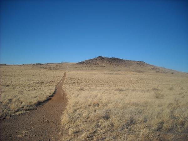
Map and trail data © OpenStreetMap contributors
