White Trail
 Photo: Famartin, CC BY-SA 3.0 (via Wikimedia Commons)
- 5.5 mi
- one way
- 367 ft
- climb
- 479 ft
- high point
- Point to point
- route
- Apr, Jun–Oct
- best months
White Trail is a moderate hike in New Jersey, about 5.5 miles long with a total elevation gain of 367 feet. The route rises to a high point of 479 feet and drops to a low of 131 feet, so plan on about 2 hours for the trip. The trail is managed by a non-governmental organization, and it is not open to horses or bikes. The most comfortable stretch for a visit runs from late spring through early fall. Typical averages from a nearby weather station show September highs around 77°F with lows near 55°F, while July highs reach about 85°F. Several other trails sit close by. Red Trail is about 0.2 miles away and Blue Trail about 0.3 miles. South Loop Trail is roughly 2.3 miles off, and the Delaware & Raritan Canal Water Trail lies about 4.6 miles away.
Local outfitters
- Bartram's Garden43 mi away
- Pier 13 Hoboken44 mi away
Not on Roamze yet. Their page has how to reach them.
 Red TrailHikingPhoto: Gary Miotla, CC BY 3.0 (via Wikimedia Commons)0.2 mi
- Blue TrailHikingPhoto: Gary Miotla, CC BY 3.0 (via Wikimedia Commons)0.3 mi
 South Loop TrailHikingPhoto: Famartin, CC BY-SA 3.0 (via Wikimedia Commons)2.3 mi
- Texas Eastern Pipeline TrailHiking2.4 mi
- Backyard BouldersRock climbing3.2 mi
- PlaygroundRock climbing3.3 mi
- Main BoulderRock climbing3.3 mi
- Delaware & Raritan Canal Water TrailCanoeing4.6 mi
Source: Roamze catalog (indexable pages within 10 miles, PostGIS distance)
- Red TrailHiking · Next doorPhoto: Gary Miotla, CC BY 3.0 (via Wikimedia Commons)
 Yellow TrailHiking · ~5 min drivePhoto: Famartin, CC BY-SA 3.0 (via Wikimedia Commons)
- Blue TrailHiking · Next doorPhoto: Gary Miotla, CC BY 3.0 (via Wikimedia Commons)
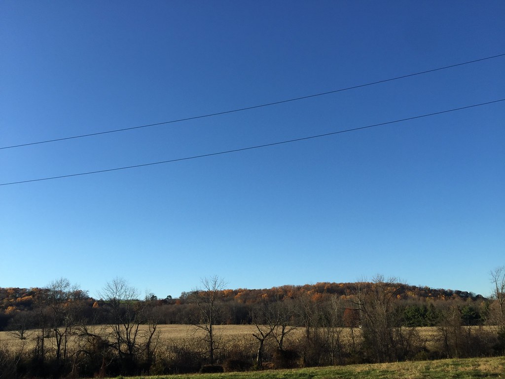 Public PathwayHiking · ~9 min drivePhoto: joe.ross, CC BY-SA 2.0 (via Flickr)
- South Loop TrailHiking · ~4 min drivePhoto: Famartin, CC BY-SA 3.0 (via Wikimedia Commons)
- Service Road TrailHiking · ~4 min drivePhoto: Famartin, CC BY-SA 3.0 (via Wikimedia Commons)
- Orange TrailHiking · ~4 min drivePhoto: Famartin, CC BY-SA 3.0 (via Wikimedia Commons)
 Picnic RockHiking · ~5 min drivePhoto: Famartin, CC BY-SA 3.0 (via Wikimedia Commons)
- Northern Stony BrookHiking · ~5 min drivePhoto: Famartin, CC BY-SA 3.0 (via Wikimedia Commons)
- Green TrailHiking · ~5 min drivePhoto: Famartin, CC BY-SA 3.0 (via Wikimedia Commons)
Best time to visit White Trail
Best months: April and June–October. Best months have typical highs of 55–85 °F, lows of 30 °F or warmer (32 °F where the station doesn't record snow), at most one snowy day and no more than 12 wet days.
Jan
38° / 22°
11 wet
Feb
41° / 23°
10 wet
Mar
49° / 30°
11 wet
Apr
62° / 40°
12 wet
May
71° / 50°
13 wet
Jun
80° / 59°
12 wet
Jul
85° / 64°
11 wet
Aug
83° / 62°
11 wet
Sep
77° / 55°
9 wet
Oct
65° / 44°
10 wet
Nov
54° / 35°
10 wet
Dec
43° / 27°
11 wet
Typical high / low (°F) and days with rain or snow, 1991–2020. Measured at Wertsville 4 Ne, NJ, 0.4 mi away at 283 ft. This station doesn't record snowfall. Source: NOAA NCEI U.S. Climate Normals 1991–2020.

Map and trail data © OpenStreetMap contributors
