Happiness Is Camping
Campground
Campground · 1.1 mi from the trail
Slabtown Creek Park Trail is a short loop in New Jersey, on city-managed land. The trail covers 0.73 miles and rises about 180 feet from its starting point, which sits at roughly 490 feet. It makes a quick, easy outing, and the climb is front-loaded, with the steepest part coming around 0.35 miles into the walk at about 16 percent grade. The high point is 585 feet, and the trail returns to nearly the same elevation by the end. Late spring and early fall are the most comfortable times to go. Typical averages from a nearby weather station in Newton run from highs near 70°F in May to around 75°F in September, with July warming to about 84°F. Winter is cold, with January highs near 37°F and lows around 17°F. The trail takes about half an hour to complete. For more time on foot, Maple Hill Preserve and the Blue Trail both lie about 1.5 miles away, and the Ridge & Valley Trail is about 1.7 miles off. Anglers can reach the Paulins Kill at about 1.9 miles.
Happiness Is Camping
Campground
Post Time Pub
Pub
 If it rainsZeete, CC BY-SA 4.0 · Wikimedia Commons
Zinc mine and museum in Ogdensburg, New Jersey
Places © OpenStreetMap contributors · Photos: Zeete, CC BY-SA 4.0 (commons)
More in Hackettstown Alosa CampsitesCampingPhoto: Recreation.gov (RIDB) / public domain5.6 mi
Source: Roamze catalog (indexable pages within 10 miles, PostGIS distance)
 Paulinskill Valley TrailHiking · ~3 min drivePhoto: Nicholas A. Tonelli from Pennsylvania, USA, CC BY 2.0 (via Wikimedia Commons)
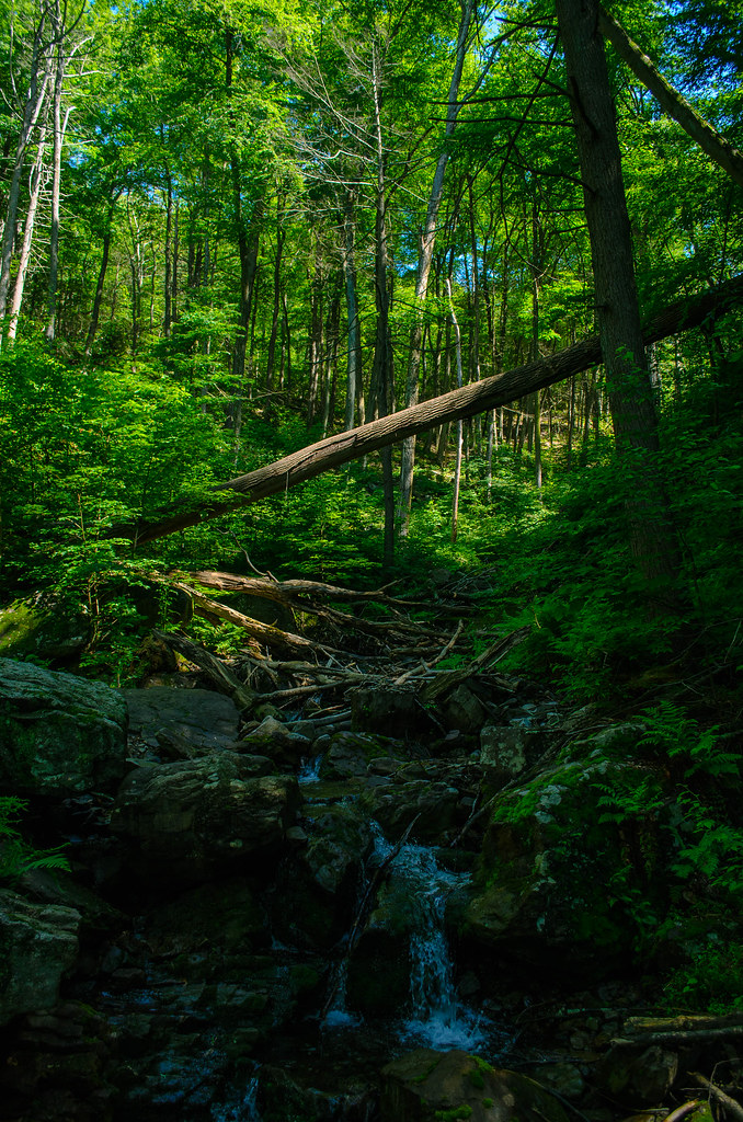 Kaiser TrailHiking · ~8 min drivePhoto: Garden State Hiker, CC BY 2.0 (via Flickr)
 Van Campens Glen TrailHiking · ~8 min drivePhoto: Garden State Hiker, CC BY 2.0 (via Flickr)Hamilton Ridge TrailHiking · ~8 min drivePhoto: Garden State Hiker, CC BY 2.0 (via Flickr)
 Coppermine TrailHiking · ~8 min drivePhoto: Zeete, CC BY-SA 3.0 (via Wikimedia Commons)
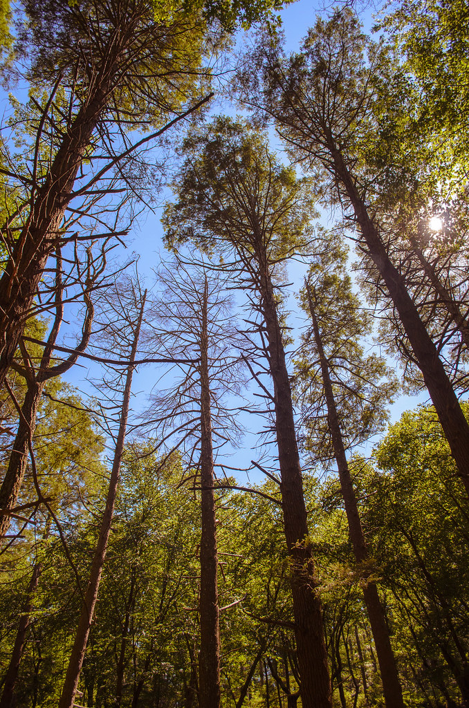 KaiserHiking · ~8 min drivePhoto: Garden State Hiker, CC BY 2.0 (via Flickr)
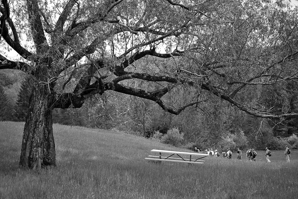 Donkey's Hollow TrailHiking · ~8 min drivePhoto: pennuja, CC BY 2.0 (via Flickr)
 Yellow TrailHiking · ~10 min drivePhoto: Nicholas_T, CC BY 2.0 (via Flickr)Coventry Pond TrailHiking · ~8 min drivePhoto: pennuja, CC BY 2.0 (via Flickr)
Best months: April–October. Best months have typical highs of 55–85 °F, lows of 30 °F or warmer (32 °F where the station doesn't record snow), at most one snowy day and no more than 12 wet days.
Jan
37° / 17°
Feb
40° / 19°
Mar
48° / 28°
Apr
61° / 38°
May
70° / 48°
Jun
80° / 56°
Jul
84° / 62°
Aug
83° / 60°
Sep
75° / 52°
Oct
64° / 41°
Nov
52° / 32°
Dec
41° / 24°
Typical high / low (°F) and days with rain or snow, 1991–2020. Measured at Newton, NJ, 10.2 mi away at 605 ft. This station doesn't record snowfall. Source: NOAA NCEI U.S. Climate Normals 1991–2020.
Map and trail data © OpenStreetMap contributors
