Yards Creek Boy Scout Camp
Campground
Campground · 1.4 mi from the trail
 Photo: Zeete, CC BY-SA 3.0 (via Wikimedia Commons)
Clear at last check
Weather is good · OpenWeather · checked 18 h ago
Closure in the area
There's a closure order in Delaware Water Gap National Recreation Area. It doesn't name Coppermine Trail, so check the source for the area it covers (2 listed).
Old Mine Road North Construction Closure Begins April 6, 2026
Park closure covering Delaware Water Gap National Recreation Area · NPS · Delaware Water Gap National Recreation Area
Dingmans Falls Trail, Road, and Access Closed for Bridge Replacement
Park closure covering Delaware Water Gap National Recreation Area · NPS · Delaware Water Gap National Recreation Area
As of · Source: NPS · Delaware Water Gap National Recreation Area. Agencies don't list every closure — check before you go.
Coppermine Trail is a 4.08-mile out-and-back hike in New Jersey with 981 feet of elevation gain and loss. The trail reaches a maximum elevation of 1,194 feet.
Yards Creek Boy Scout Camp
Campground
SOTE Gastropub
Pub
 If it rainsJerrye & Roy Klotz, MD, CC BY-SA 3.0 · Wikimedia Commons
Places © OpenStreetMap contributors · Photos: Jerrye & Roy Klotz, MD, CC BY-SA 3.0 (commons)
More in Hackettstown Lower Kaiser Spur TrailHikingPhoto: Zeete, CC BY-SA 3.0 (via Wikimedia Commons)0.2 mi
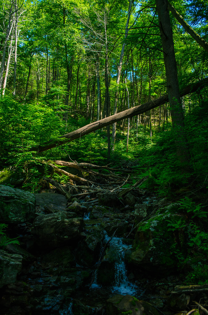 Kaiser TrailHikingPhoto: Garden State Hiker, CC BY 2.0 (via Flickr)1.1 mi
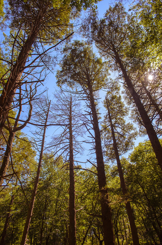 KaiserHikingPhoto: Garden State Hiker, CC BY 2.0 (via Flickr)1.3 mi
 Alosa CampsitesCampingPhoto: Recreation.gov (RIDB) / public domain4.3 mi
Source: Roamze catalog (indexable pages within 10 miles, PostGIS distance)
Lower Kaiser Spur TrailHiking · Next doorPhoto: Zeete, CC BY-SA 3.0 (via Wikimedia Commons)Kaiser TrailHiking · ~2 min drivePhoto: Garden State Hiker, CC BY 2.0 (via Flickr) Joseph M. McDade Recreational TrailHiking · ~7 min drivePhoto: Jack and Dianne, CC BY-SA 2.0 (via Flickr)Hidden Lake TrailHiking · ~3 min drivePhoto: Zeete, CC BY-SA 3.0 (via Wikimedia Commons)KaiserHiking · ~2 min drivePhoto: Garden State Hiker, CC BY 2.0 (via Flickr)Hidden Lake TrailHiking · ~3 min drivePhoto: Zeete, CC BY-SA 3.0 (via Wikimedia Commons)
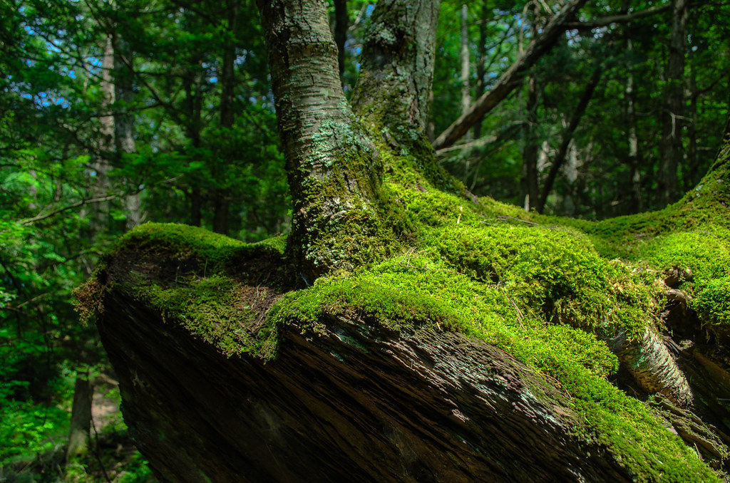 Hamilton Ridge TrailHiking · ~4 min drivePhoto: Garden State Hiker, CC BY 2.0 (via Flickr)Van Campens Glen TrailHiking · ~4 min drivePhoto: Garden State Hiker, CC BY 2.0 (via Flickr)
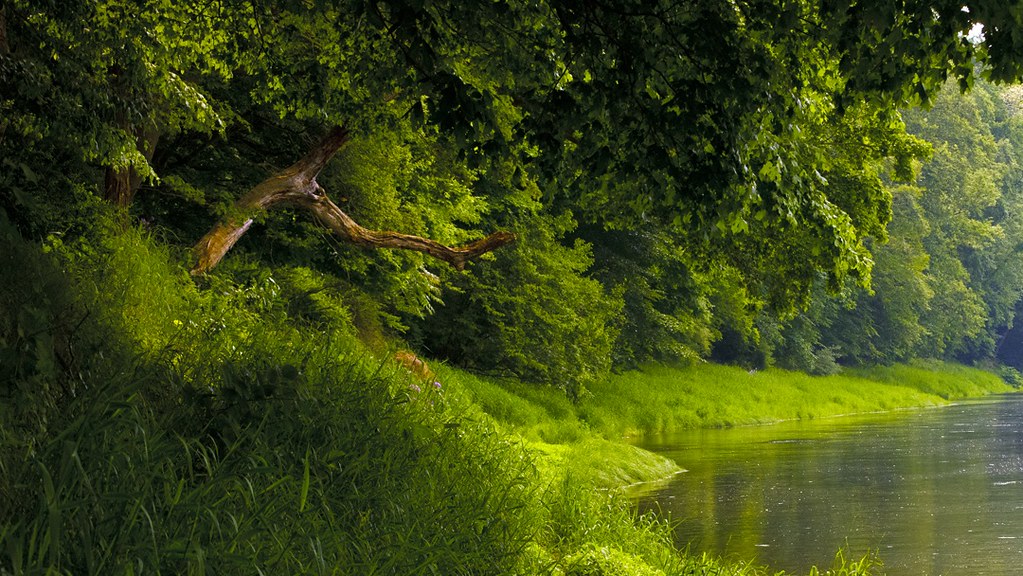 Rockcores TrailHiking · ~5 min drivePhoto: Garden State Hiker, CC BY 2.0 (via Flickr)
Best months: April and June–October. Best months have typical highs of 55–85 °F, lows of 30 °F or warmer (32 °F where the station doesn't record snow), at most one snowy day and no more than 12 wet days.
Jan
36° / 19°
13 wet
Feb
39° / 21°
11 wet
Mar
48° / 28°
12 wet
Apr
62° / 37°
12 wet
May
72° / 47°
14 wet
Jun
80° / 56°
12 wet
Jul
84° / 61°
12 wet
Aug
82° / 59°
12 wet
Sep
75° / 52°
10 wet
Oct
63° / 40°
12 wet
Nov
51° / 32°
11 wet
Dec
40° / 24°
12 wet
Typical high / low (°F) and days with rain or snow, 1991–2020. Measured at E Stroudsburg, PA, 9.6 mi away at 471 ft. The station sits about 700 ft lower than this place, so expect it a little cooler here. This station doesn't record snowfall. Source: NOAA NCEI U.S. Climate Normals 1991–2020.
Map and trail data © OpenStreetMap contributors
