Jacobs Creek Trail
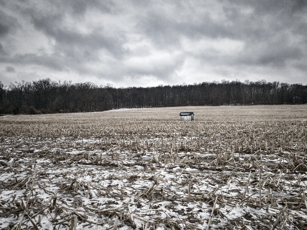
 Photo: Famartin, CC BY-SA 3.0 (via Wikimedia Commons)
- 1.3 mi
- round trip
- 302 ft
- climb
- 180 ft
- high point
- Out and back
- route
- Apr–Jun, Aug–Oct
- best months
Jacobs Creek Trail is a short, easy out-and-back hike in New Jersey, about 0.8 miles from the community of Ackers Corner. The trail is roughly 2.7 miles long, with a total elevation gain of about 61 feet, and it is rated easy. The route starts at an elevation of about 172 feet and reaches a high point of 180 feet. The steepest stretch comes at about 0.94 miles in, with a grade of about 9 percent. The climb is gentle overall, and the trail is a good choice for a quick outing close to town. For comfortable weather, late spring and early fall are the best bets. Typical averages from a nearby weather station in Trenton show May highs around 72°F and September highs around 77°F, while July averages about 86°F and January highs sit near 40°F. Several other trails lie within a couple of miles, including Woolsey Brook Trail, Pleasant Valley Harbourton Trail and Cedar Grove Trail. Paddlers can reach the Delaware & Raritan Canal Water Trail about 6 miles away.
Local outfitters
- Bartram's Garden34 mi away
Not on Roamze yet. Their page has how to reach them.
- Woolsey Brook TrailHiking1.5 mi
 Pleasant Valley Harbourton TrailHikingPhoto: Famartin, CC BY-SA 3.0 (via Wikimedia Commons)1.7 mi
- Cedar Grove TrailHiking1.8 mi
 Honey Hollow TrailHikingPhoto: James Loesch, CC BY 2.0 (via Flickr)1.9 mi
- Delaware & Raritan Canal Water TrailCanoeing6.2 mi
- Delaware RiverRiver fishing6.4 mi
- Delaware Canal Paddle RouteCanoeing6.4 mi
- Witherspoon Woods BouldersRock climbing8.8 mi
Source: Roamze catalog (indexable pages within 10 miles, PostGIS distance)
- Pleasant Valley Harbourton TrailHiking · ~3 min drivePhoto: Famartin, CC BY-SA 3.0 (via Wikimedia Commons)
- Honey Hollow TrailHiking · ~3 min drivePhoto: James Loesch, CC BY 2.0 (via Flickr)
- Ridge TrailHiking · ~3 min drivePhoto: James Loesch, CC BY 2.0 (via Flickr)
- Summit TrailHiking · ~6 min drive
- Copper Hill TrailHiking · ~3 min drivePhoto: James Loesch, CC BY 2.0 (via Flickr)
- Switchback TrailHiking · ~6 min drive
 Farm History TrailHiking · ~8 min drivePhoto: nosha, CC BY-SA 2.0 (via Flickr)
- Twin Pines TrailHiking · ~7 min drive
 Entrance RoadHiking · ~9 min drivePhoto: Famartin, CC BY-SA 3.0 (via Wikimedia Commons)
- Twin Pines TrailHiking · ~7 min drive
Best time to visit Jacobs Creek Trail
Best months: April–June and August–October. Best months have typical highs of 55–85 °F, lows of 30 °F or warmer (32 °F where the station doesn't record snow), at most one snowy day and no more than 12 wet days.
Jan
40° / 24°
10 wet · 5 snow
Feb
43° / 26°
10 wet · 4 snow
Mar
51° / 33°
11 wet · 2 snow
Apr
63° / 42°
11 wet
May
72° / 52°
12 wet
Jun
81° / 61°
12 wet
Jul
86° / 67°
11 wet
Aug
84° / 65°
10 wet
Sep
77° / 58°
9 wet
Oct
66° / 46°
10 wet
Nov
54° / 36°
9 wet · 1 snow
Dec
44° / 29°
11 wet · 2 snow
Typical high / low (°F) and days with rain or snow, 1991–2020. Measured at Trenton Mercer Co Ap, NJ, 3.9 mi away at 184 ft. Source: NOAA NCEI U.S. Climate Normals 1991–2020.
