Copper Hill Trail
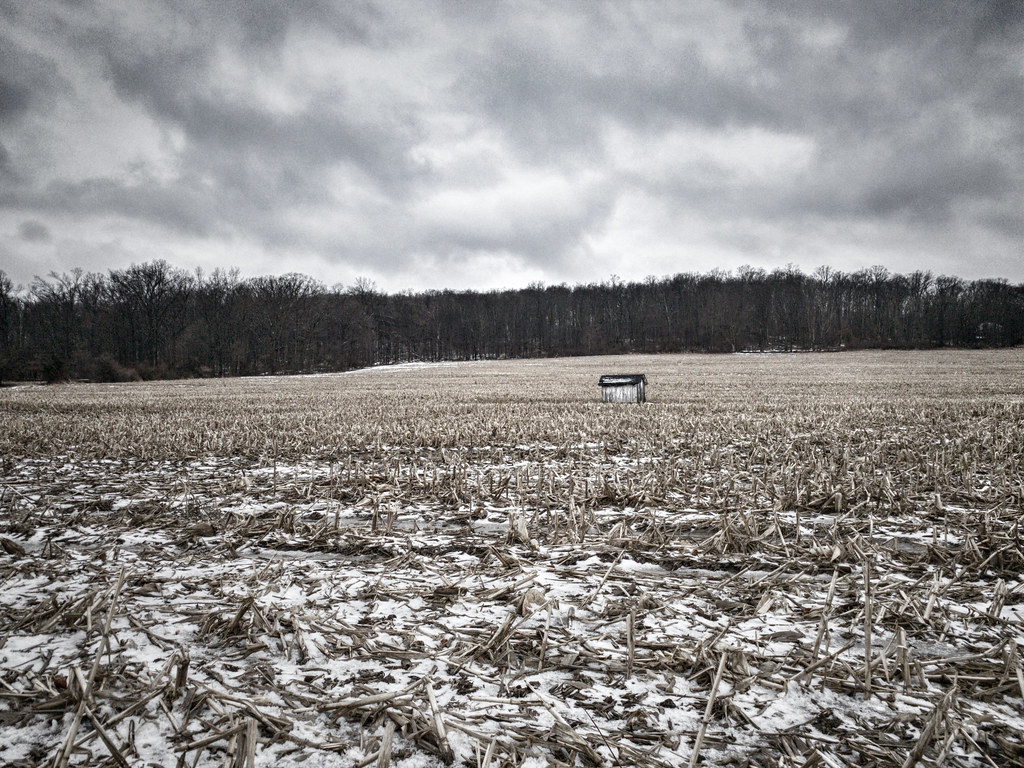 Photo: James Loesch, CC BY 2.0 (via Flickr)
- 1.0 mi
- one way
- 177 ft
- climb
- 467 ft
- high point
- Point to point
- route
- Apr–Jun, Aug–Oct
- best months
Copper Hill Trail is a short, easy hike of about a mile in Washington Crossing State Park in New Jersey, on county land. It rises from a low point of 264 feet to a high of 467 feet, with a total gain of 177 feet, and the steepest stretch comes near the end at about 15%. Spring and fall are the most comfortable times to go. Typical averages from a nearby weather station in Trenton show May highs around 72°F and September highs around 77°F, while July averages about 86°F and January highs sit near 40°F. The trail is a point-to-point route, and it works well as a short outing. The Ridge Trail starts just 0.1 mile away, and the Honey Hollow Trail and Creek Spur Trail are each about 0.3 mile off. For time on the water, the Delaware River is about 4.5 miles away.
Local outfitters
- Bartram's Garden33 mi away
Not on Roamze yet. Their page has how to reach them.
- Ridge TrailHikingPhoto: James Loesch, CC BY 2.0 (via Flickr)0.1 mi
- Honey Hollow TrailHikingPhoto: James Loesch, CC BY 2.0 (via Flickr)0.3 mi
- Creek Spur TrailHiking0.3 mi
 Pleasant Valley Harbourton TrailHikingPhoto: Famartin, CC BY-SA 3.0 (via Wikimedia Commons)0.5 mi
- Cedar Grove TrailHiking0.6 mi
- Delaware RiverRiver fishing4.5 mi
- Delaware Canal Paddle RouteCanoeing5.4 mi
- Delaware & Raritan Canal Water TrailCanoeing7.8 mi
Source: Roamze catalog (indexable pages within 10 miles, PostGIS distance)
- Honey Hollow TrailHiking · Next doorPhoto: James Loesch, CC BY 2.0 (via Flickr)
- Pleasant Valley Harbourton TrailHiking · Next doorPhoto: Famartin, CC BY-SA 3.0 (via Wikimedia Commons)
- Summit TrailHiking · ~3 min drive
 Jacobs Creek TrailHiking · ~3 min drivePhoto: Famartin, CC BY-SA 3.0 (via Wikimedia Commons)
- Switchback TrailHiking · ~3 min drive
 Entrance RoadHiking · ~10 min drivePhoto: Famartin, CC BY-SA 3.0 (via Wikimedia Commons)
- Twin Pines TrailHiking · ~10 min drive
 Farm History TrailHiking · ~11 min drivePhoto: nosha, CC BY-SA 2.0 (via Flickr)
- Twin Pines TrailHiking · ~11 min drive
 Double CrossingHiking · ~12 min drivePhoto: Famartin, CC BY-SA 3.0 (via Wikimedia Commons)
Best time to visit Copper Hill Trail
Best months: April–June and August–October. Best months have typical highs of 55–85 °F, lows of 30 °F or warmer (32 °F where the station doesn't record snow), at most one snowy day and no more than 12 wet days.
Jan
40° / 24°
10 wet · 5 snow
Feb
43° / 26°
10 wet · 4 snow
Mar
51° / 33°
11 wet · 2 snow
Apr
63° / 42°
11 wet
May
72° / 52°
12 wet
Jun
81° / 61°
12 wet
Jul
86° / 67°
11 wet
Aug
84° / 65°
10 wet
Sep
77° / 58°
9 wet
Oct
66° / 46°
10 wet
Nov
54° / 36°
9 wet · 1 snow
Dec
44° / 29°
11 wet · 2 snow
Typical high / low (°F) and days with rain or snow, 1991–2020. Measured at Trenton Mercer Co Ap, NJ, 4.7 mi away at 184 ft. Source: NOAA NCEI U.S. Climate Normals 1991–2020.
Route details
- Distance
- 1.0 mi
- Climbing
- About 177 ft
- Summit
- 478 ft
- Difficulty
- Easy
- Time
- About 0.5 hours
Other routes up Baldpate Mountain
Questions about this route
How long is the Copper Hill Trail on Baldpate Mountain?
About 1.0 mi.
How much elevation gain is on the Copper Hill Trail?
About 177 ft of climbing round trip.
How hard is the Copper Hill Trail?
It is rated easy.
How long does the Copper Hill Trail take?
About 0.5 hours round trip.
How many routes go up Baldpate Mountain?
4: Copper Hill Trail, Ridge Trail, Kuser Trail and Driveway.
Conditions and forecast on Baldpate Mountain
Daily highs and lows, wind and the chance of precipitation at the summit and route start for the next 7 days, from the Open-Meteo model.
Map and trail data © OpenStreetMap contributors
