Tinicum Park Group Campground
Campground
Campground · 10 mi from the trail
Eagle Trail is a short, easy hike in South Branch River Reserve in New Jersey, on county land about 0.37 miles long. It rises from 247 feet to 365 feet, with a total gain of 85 feet, and the steepest stretch comes at about 0.14 miles in, where the grade reaches 13 percent. The trail is a point-to-point route, and it works well as a quick outing. The climb is gentle, and the route is close to the Uplands Trail and Dogwood Trail, both about 0.1 mile away, so it's easy to link with another short walk. For comfortable weather, late spring and early fall are the best bets. Typical averages from a nearby weather station in Flemington show May highs around 72°F and September highs around 77°F, while July averages about 86°F. The trail is open year-round, and the surrounding reserve offers more hiking within a short distance. Round Valley Reservoir, about 7.4 miles away, is a nearby fishing spot, and Backyard Boulders, about 9.4 miles away, is a climbing area.
Tinicum Park Group Campground
Campground
 If it rainsJerrye & Roy Klotz, MD, CC BY-SA 3.0 · Wikimedia Commons
American model railroad museum
Places © OpenStreetMap contributors, Places © Overture Maps Foundation · Photos: Jerrye & Roy Klotz, MD, CC BY-SA 3.0 (commons)
More in HackettstownNot on Roamze yet. Their page has how to reach them.
Source: Roamze catalog (indexable pages within 10 miles, PostGIS distance)
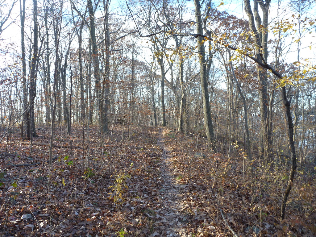 Campground TrailHiking · ~11 min drivePhoto: daveclausen, CC BY 2.0 (via Flickr)
 Blue TrailHiking · ~12 min drivePhoto: Gary Miotla, CC BY 3.0 (via Wikimedia Commons)
 White TrailHiking · ~12 min drivePhoto: Famartin, CC BY-SA 3.0 (via Wikimedia Commons)
Best months: April, June and August–October. Best months have typical highs of 55–85 °F, lows of 30 °F or warmer (32 °F where the station doesn't record snow), at most one snowy day and no more than 12 wet days.
Jan
38° / 21°
11 wet · 4 snow
Feb
41° / 22°
9 wet · 4 snow
Mar
50° / 29°
11 wet · 3 snow
Apr
62° / 39°
12 wet
May
72° / 49°
13 wet
Jun
81° / 58°
11 wet
Jul
86° / 63°
11 wet
Aug
84° / 61°
10 wet
Sep
77° / 54°
9 wet
Oct
65° / 42°
10 wet
Nov
53° / 33°
10 wet · 1 snow
Dec
43° / 26°
11 wet · 2 snow
Typical high / low (°F) and days with rain or snow, 1991–2020. Measured at Flemington 5 Nnw, NJ, 4 mi away at 265 ft. Source: NOAA NCEI U.S. Climate Normals 1991–2020.
Map and trail data © OpenStreetMap contributors

