Devils Half-Acre Trail
 Photo: robanhk, CC BY-SA 2.0 (via Flickr)
- 1.9 mi
- loop
- 322 ft
- climb
- 547 ft
- high point
- Loop
- route
Devils Half-Acre Trail is a short loop in Sourland Mountain Preserve, county land in New Jersey. It covers about 1.9 miles and is rated easy, with bikes allowed on the route. The loop starts at about 280 feet and climbs roughly 320 feet in total over the full circuit, topping out near 550 feet and dipping as low as about 200 feet. The steepest pitch comes almost right away, around a tenth of a mile in, where the grade reaches about 17 percent. After that early push, the rest of the loop is a modest outing. September is one of the most comfortable months, with typical highs around 77°F and lows near 55°F based on averages from a nearby weather station at Wertsville. That station sits about 260 feet below the trail's high point, so temperatures up top can run a little cooler. The trail sits among several climbing areas, including Southfield and Devil's Half Acre, both within half a mile. Hikers can also link up with Maple Flats Trail or Tributary Trail, each about half a mile away.
- SouthfieldRock climbing0.2 mi
- Sourland Mountain PreserveRock climbing0.3 mi
- Half Moon AreaRock climbing0.4 mi
 Devil's Half AcreRock climbingPhoto: Famartin, CC BY-SA 4.0 (via Wikimedia Commons)0.4 mi
 Maple Flats TrailHikingPhoto: robanhk, CC BY-SA 2.0 (via Flickr)0.5 mi
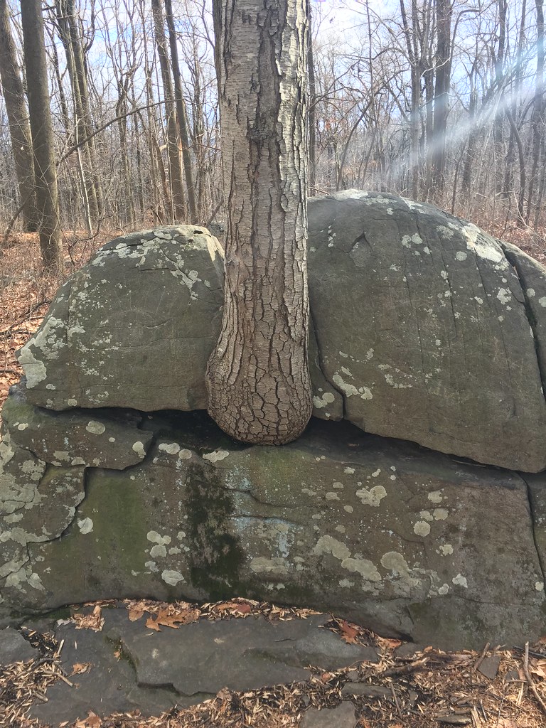 Tributary TrailHikingPhoto: robanhk, CC BY-SA 2.0 (via Flickr)0.5 mi
- Ridge TrailHikingPhoto: robanhk, CC BY-SA 2.0 (via Flickr)0.9 mi
- Delaware & Raritan Canal Water TrailCanoeing6.3 mi
Source: Roamze catalog (indexable pages within 10 miles, PostGIS distance)
- Maple Flats TrailHiking · Next doorPhoto: robanhk, CC BY-SA 2.0 (via Flickr)
 White TrailHiking · ~7 min drivePhoto: Famartin, CC BY-SA 3.0 (via Wikimedia Commons)
- Tributary TrailHiking · Next doorPhoto: robanhk, CC BY-SA 2.0 (via Flickr)
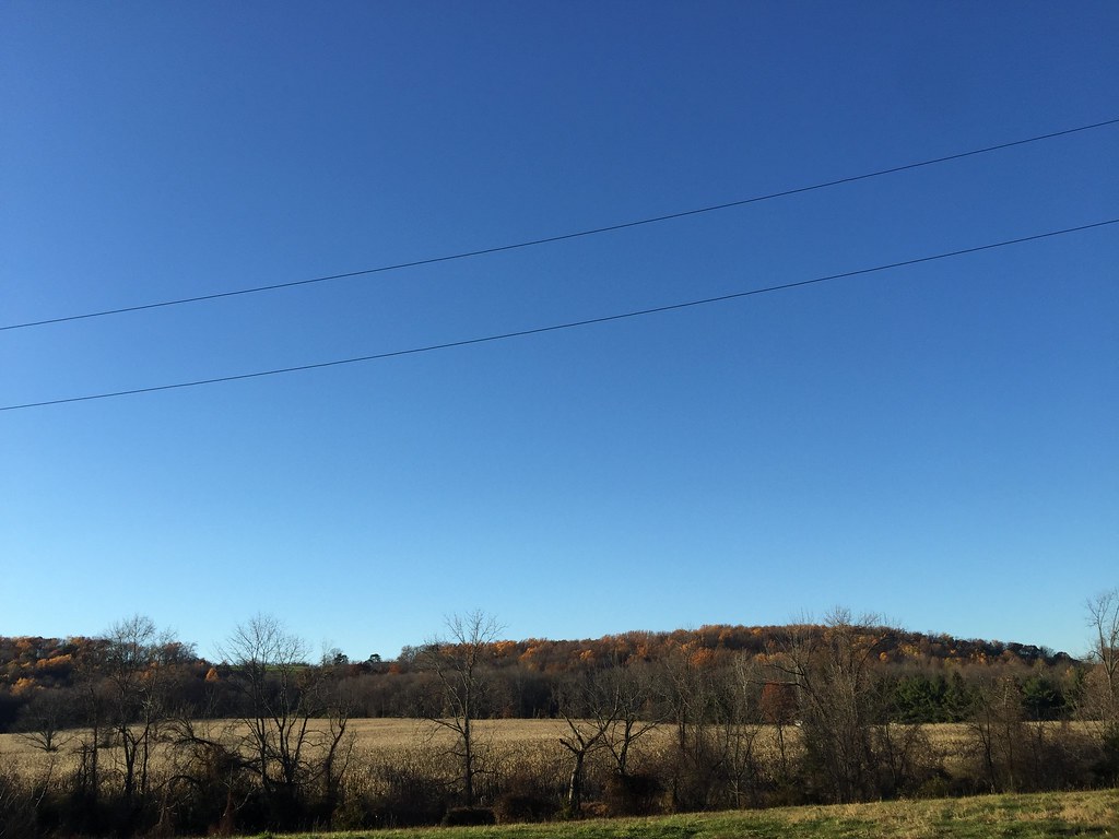 Public PathwayHiking · ~8 min drivePhoto: joe.ross, CC BY-SA 2.0 (via Flickr)
- Ridge TrailHiking · ~1 min drivePhoto: robanhk, CC BY-SA 2.0 (via Flickr)
 Yellow TrailHiking · ~10 min drivePhoto: joe.ross, CC BY-SA 2.0 (via Flickr)
- RidgeHiking · ~2 min drivePhoto: robanhk, CC BY-SA 2.0 (via Flickr)
- Roaring Rocks TrailHiking · ~2 min drivePhoto: robanhk, CC BY-SA 2.0 (via Flickr)
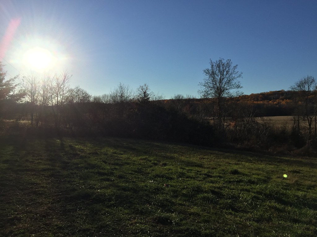 Skillman PathwayHiking · ~6 min drivePhoto: joe.ross, CC BY-SA 2.0 (via Flickr)
 Blue TrailHiking · ~7 min drivePhoto: Gary Miotla, CC BY 3.0 (via Wikimedia Commons)
Map and trail data © OpenStreetMap contributors
