Burnt Mill Trail (Red)
- 8.4 mi
- one way
- 51 ft
- climb
- 104 ft
- high point
- Point to point
- route
- Apr–Jun, Aug–Nov
- best months
Burnt Mill Trail (Red) is a moderate hike in Wharton State Forest in New Jersey, managed by the State Department of Natural Resources. The route is 8.4 miles long, with a total elevation gain of about 51 feet, and it runs from a low point of 59 feet to a high of 104 feet. The trail is a point-to-point route, and the steepest stretch comes at about 2.6 miles in, with a grade of about 3 percent. The trail is open to both horses and bikes, so riders and equestrians can plan a trip on it. The most comfortable months for a visit are typically late spring and early fall. Typical averages from a nearby weather station at Indian Mills put May highs around 74°F and September highs around 78°F, with July the warmest month at about 87°F. Several other trails sit close by. Goshen Pond Trail (White) is about 0.1 mile away and Sleeper Creek Trail (Blue) about 0.3 mile. Atsion Family Campground is about 3.6 miles off, and the Mullica River, a canoeing route, is about 1.9 miles away.
Local outfitters
- Bartram's Garden25 mi away
Not on Roamze yet. Their page has how to reach them.
Best time to go · Apr–Jun, Aug–Nov
Best time to visit Burnt Mill Trail (Red)
Best months: April–June and August–November. Best months have typical highs of 55–85 °F, lows of 30 °F or warmer (32 °F where the station doesn't record snow), at most one snowy day and no more than 12 wet days.
Jan
42° / 23°
8 wet · 2 snow
Feb
45° / 24°
8 wet · 2 snow
Mar
53° / 31°
8 wet · 1 snow
Apr
65° / 40°
8 wet
May
74° / 50°
9 wet
Jun
82° / 59°
8 wet
Jul
87° / 64°
9 wet
Aug
85° / 62°
8 wet
Sep
78° / 55°
7 wet
Oct
67° / 44°
8 wet
Nov
56° / 34°
8 wet
Dec
47° / 28°
9 wet · 1 snow
Typical high / low (°F) and days with rain or snow, 1991–2020. Measured at Indian Mills 2 W, NJ, 4.1 mi away at 100 ft. Source: NOAA NCEI U.S. Climate Normals 1991–2020.
Keep exploring — more trails worth the drive
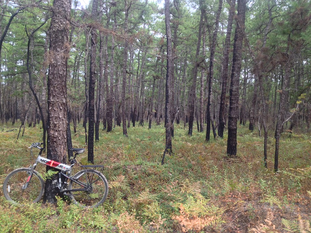 Photo: drsmith7383, CC BY 2.0 (via Flickr)
Mullica River Trail (yellow)
~10 min drive
3.28-mile out-and-back trail on the Mullica River in New Jersey.
 Photo: cm195902, CC BY 2.0 (via Flickr)
Sandy Ridge - Tulpehocken Trail
~22 min drive
An 18.41-mile point-to-point ridge and valley trek through northwestern New Jersey.
HIKE
Sleeper Creek Trail (Blue)
Next door
Creek-side point-to-point hike through New Jersey woodland.
HIKE
White Trail
~24 min drive
24.81-mile out-and-back trail in New Jersey with 1,926 ft gain
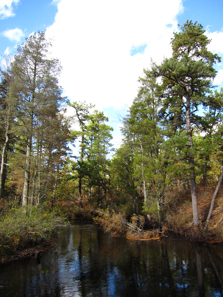 Photo: cm195902, CC BY 2.0 (via Flickr)
Mullica River Trail (yellow)
~13 min drive
3.76-mile out-and-back trail in New Jersey with 103 ft gain/loss.
HIKE
Black Run Trail
~14 min drive
1.21-mile point-to-point trail in New Jersey with 103 ft elevation gain
HIKE
Yellow Trail
~24 min drive
32.43-mile point-to-point trail in New Jersey with 3,897 ft elevation gain.
 Photo: cm195902, CC BY 2.0 (via Flickr)
Buttonwood Camp Connector Trail
~22 min drive
1.16-mile point-to-point trail in New Jersey with 46 ft gain.
HIKE
Red Loop
~26 min drive
A 3.92-mile point-to-point New Jersey trail with scenic terrain.
 Photo: Seth Tisue, CC BY-SA 2.0 (via Flickr)
Batona Trail (Former Route)
~23 min drive
0.55-mile lollipop trail in New Jersey with 4 ft gain.

Map and trail data © OpenStreetMap contributors
