Blackwells Trail
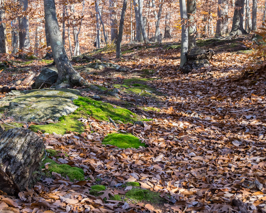
 Photo: kjarrett, CC BY 2.0 (via Flickr)
- 4.4 mi
- one way
- 103 ft
- climb
- 84 ft
- high point
- Point to point
- route
- Apr, Jun
- best months
Clear today
Weather is good · OpenWeather · checked 59 min ago
Blackwells Trail is a short, easy hike of about 4.4 miles in New Jersey's Six Mile Run Reservoir Site, a state park managed by the State Department of Natural Resources. The trail is a point-to-point route with a low elevation gain of 103 feet, so it works well as a gentle outing for a walk, ride or drive. The trail's highest point is 84 feet, and the steepest stretch comes at about 1.6 miles in, where the grade reaches 8 percent. Bikes and horses are both allowed, which makes it a flexible option for different kinds of visitors. For comfortable weather, aim for late spring or early fall. Typical averages from a nearby weather station in New Brunswick show May highs around 72°F and September highs around 78°F, while July averages climb to about 87°F. Several other trails sit close by. Creek Trail is under a mile away and Cedar Trail is about 1.1 miles off. Lois Howe Nature Trail is roughly 2.5 miles away, and climbers can find Devil's Half Acre about 7 miles from the trail.
- Creek TrailHikingPhoto: kjarrett, CC BY 2.0 (via Flickr)0.8 mi
- Cedar TrailHikingPhoto: kjarrett, CC BY 2.0 (via Flickr)1.1 mi
 Twisty TrailHikingPhoto: Tainanian, CC BY 2.0 (via Flickr)2.2 mi
 Lois Howe Nature TrailHikingPhoto: Zeete, CC BY-SA 4.0 (via Wikimedia Commons)2.5 mi
- Sourland Mountain PreserveRock climbing6.9 mi
- SouthfieldRock climbing6.9 mi
- Half Moon AreaRock climbing7 mi
 Devil's Half AcreRock climbingPhoto: Famartin, CC BY-SA 4.0 (via Wikimedia Commons)7 mi
Source: Roamze catalog (indexable pages within 10 miles, PostGIS distance)
- Creek TrailHiking · ~1 min drivePhoto: kjarrett, CC BY 2.0 (via Flickr)
 Yellow TrailHiking · ~6 min drivePhoto: joe.ross, CC BY-SA 2.0 (via Flickr)
- Cedar TrailHiking · ~2 min drivePhoto: kjarrett, CC BY 2.0 (via Flickr)
- Twisty TrailHiking · ~4 min drivePhoto: Tainanian, CC BY 2.0 (via Flickr)
- Lois Howe Nature TrailHiking · ~4 min drivePhoto: Zeete, CC BY-SA 4.0 (via Wikimedia Commons)
 Blue TrailHiking · ~6 min drivePhoto: Gary Miotla, CC BY 3.0 (via Wikimedia Commons)
- Orange TrailHiking · ~6 min drivePhoto: Gary Miotla, CC BY 3.0 (via Wikimedia Commons)
- Brown TrailHiking · ~6 min drivePhoto: joe.ross, CC BY-SA 2.0 (via Flickr)
- Red TrailHiking · ~6 min drivePhoto: Gary Miotla, CC BY 3.0 (via Wikimedia Commons)
 Farrington Lake TrailHiking · ~10 min drivePhoto: grits2go, CC BY 2.0 (via Flickr)
Best time to visit Blackwells Trail
Best months: April, June and August–November. Best months have typical highs of 55–85 °F, lows of 30 °F or warmer (32 °F where the station doesn't record snow), at most one snowy day and no more than 12 wet days.
Jan
40° / 23°
11 wet · 4 snow
Feb
43° / 24°
10 wet · 4 snow
Mar
51° / 31°
11 wet · 2 snow
Apr
63° / 41°
12 wet
May
72° / 51°
13 wet
Jun
81° / 60°
11 wet
Jul
87° / 66°
11 wet
Aug
85° / 64°
10 wet
Sep
78° / 57°
9 wet
Oct
67° / 44°
10 wet
Nov
55° / 35°
9 wet
Dec
45° / 28°
10 wet · 2 snow
Typical high / low (°F) and days with rain or snow, 1991–2020. Measured at New Brunswick 3 Se, NJ, 7.8 mi away at 111 ft. Source: NOAA NCEI U.S. Climate Normals 1991–2020.
Map and trail data © OpenStreetMap contributors
