Birmingham to Pemberton Rail Trail
- 1.6 mi
- round trip
- 111 ft
- climb
- 50 ft
- high point
- Out and back
- route
- Jun–Oct
- best months
Clear today
Weather is good · OpenWeather · checked just now
The Birmingham to Pemberton Rail Trail is a short, easy walk in southern New Jersey, about 0.4 miles from the town of Pemberton. The route is an out-and-back that covers roughly 3.2 miles round trip, with a total elevation gain of about 10 feet. The trail is nearly flat, and the steepest stretch comes at about 1.4 miles in, with a grade of about 4 percent. Bikes are allowed, so the trail works for both hikers and riders. The most comfortable months for a visit are typically late spring and early fall. Typical averages from a nearby weather station show May highs around 72°F and September highs around 76°F, with September also seeing the fewest wet days of the year. Paddlers can find South Branch Rancocas Creek about 4 miles away and Greenwood Branch about 6 miles away. Hikers looking for more trails can head to Sand Roads, about 7.5 miles off, or the Green Loop, about 7.8 miles away.
Local outfitters
- Bartram's Garden28 mi away
Not on Roamze yet. Their page has how to reach them.
- South Branch Rancocas CreekCanoeing4.1 mi
- Greenwood BranchCanoeing6.3 mi
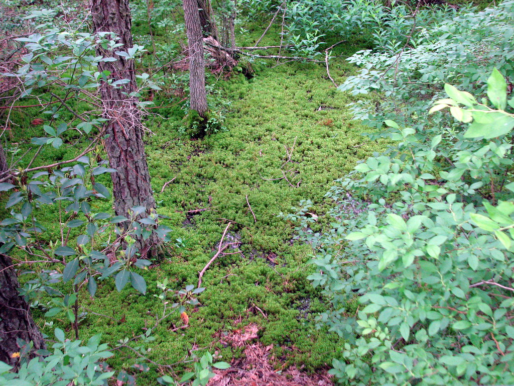 Sand RoadsHikingPhoto: bobistraveling, CC BY 2.0 (via Flickr)7.5 mi
- Green LoopHiking7.8 mi
- Red LoopHiking7.8 mi
- Creekside Trail (blue square)Hiking8.3 mi
- Blue TrailHiking8.5 mi
- White TrailHiking8.5 mi
Source: Roamze catalog (indexable pages within 10 miles, PostGIS distance)
- Sand RoadsHiking · ~13 min drivePhoto: bobistraveling, CC BY 2.0 (via Flickr)
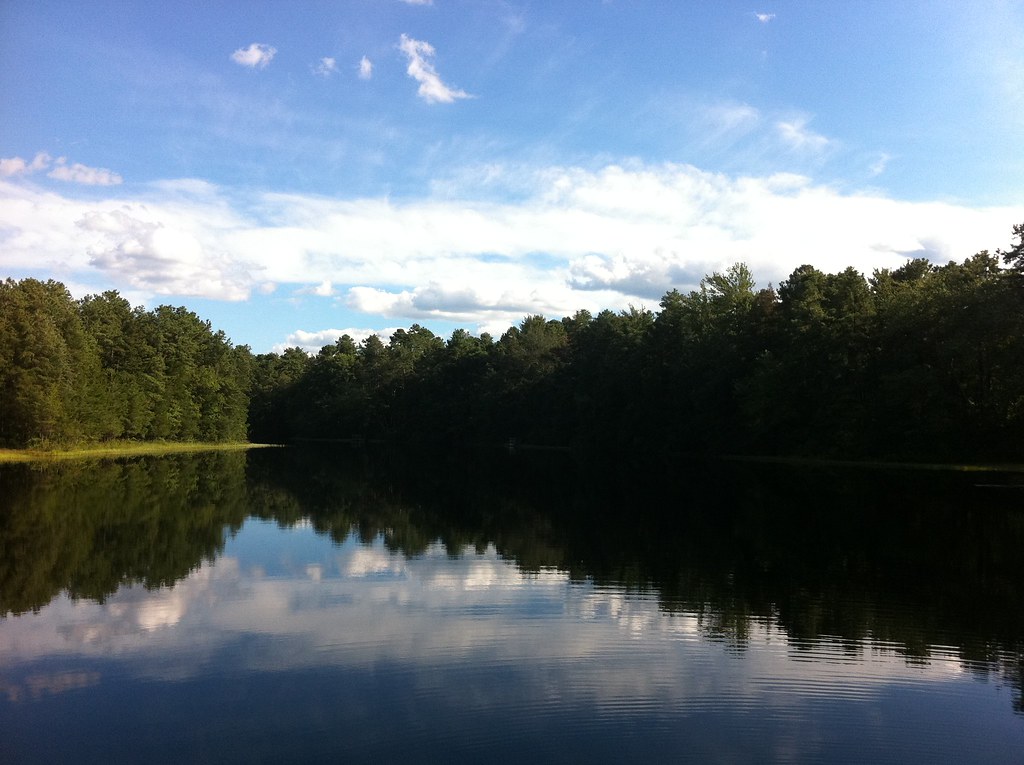 Mount Misery Trail (White)Hiking · ~18 min drivePhoto: aleahey, CC BY-SA 2.0 (via Flickr)
 Sandy Ridge - Tulpehocken TrailHiking · ~22 min drivePhoto: cm195902, CC BY 2.0 (via Flickr)
- White TrailHiking · ~15 min drive
- Cranberry Dot Trail (RedHiking · ~15 min drivePhoto: bobistraveling, CC BY 2.0 (via Flickr)
 D&l TrailHiking · ~22 min drivePhoto: 123 Chroma Pixels, CC BY-SA 2.0 (via Flickr)
- Red TrailHiking · ~19 min drive
- Yellow TrailHiking · ~15 min drive
- Batona Trail (Former Route)Hiking · ~19 min drivePhoto: aleahey, CC BY-SA 2.0 (via Flickr)
- Red LoopHiking · ~13 min drive
Best time to visit Birmingham to Pemberton Rail Trail
Best months: June–October. Best months have typical highs of 55–85 °F, lows of 30 °F or warmer (32 °F where the station doesn't record snow), at most one snowy day and no more than 12 wet days.
Jan
39° / 22°
12 wet · 4 snow
Feb
42° / 23°
11 wet · 4 snow
Mar
50° / 31°
12 wet · 2 snow
Apr
63° / 41°
13 wet
May
72° / 51°
14 wet
Jun
81° / 61°
12 wet
Jul
85° / 66°
12 wet
Aug
83° / 64°
12 wet
Sep
76° / 57°
9 wet
Oct
64° / 45°
10 wet
Nov
54° / 34°
11 wet · 1 snow
Dec
44° / 28°
12 wet · 2 snow
Typical high / low (°F) and days with rain or snow, 1991–2020. Measured at Philadelphia/Mt Holly Wfo, NJ, 7.7 mi away at 63 ft. Source: NOAA NCEI U.S. Climate Normals 1991–2020.
