Beeches Trail
- 0.4 mi
- one way
- 510 ft
- high point
- Point to point
- route
- Easy
- difficulty
- Apr–Oct
- best months
Beeches Trail is a short point-to-point hike in New Jersey covering 0.36 miles with 59 feet of elevation gain. The trail follows a straightforward path through the Beeches area.
Local outfitters
- Pier 13 Hoboken23 mi away
Not on Roamze yet. Their page has how to reach them.
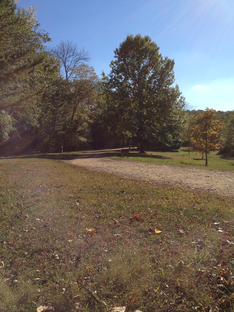 Vista Spur TrailHiking · ~3 min drivePhoto: Flyinace2000, CC BY-SA 2.0 (via Flickr)
- White TrailHiking · ~4 min drivePhoto: Flyinace2000, CC BY-SA 2.0 (via Flickr)
- Reservoir LoopHiking · ~4 min drivePhoto: Flyinace2000, CC BY-SA 2.0 (via Flickr)
- Yellow TrailHiking · ~4 min drive
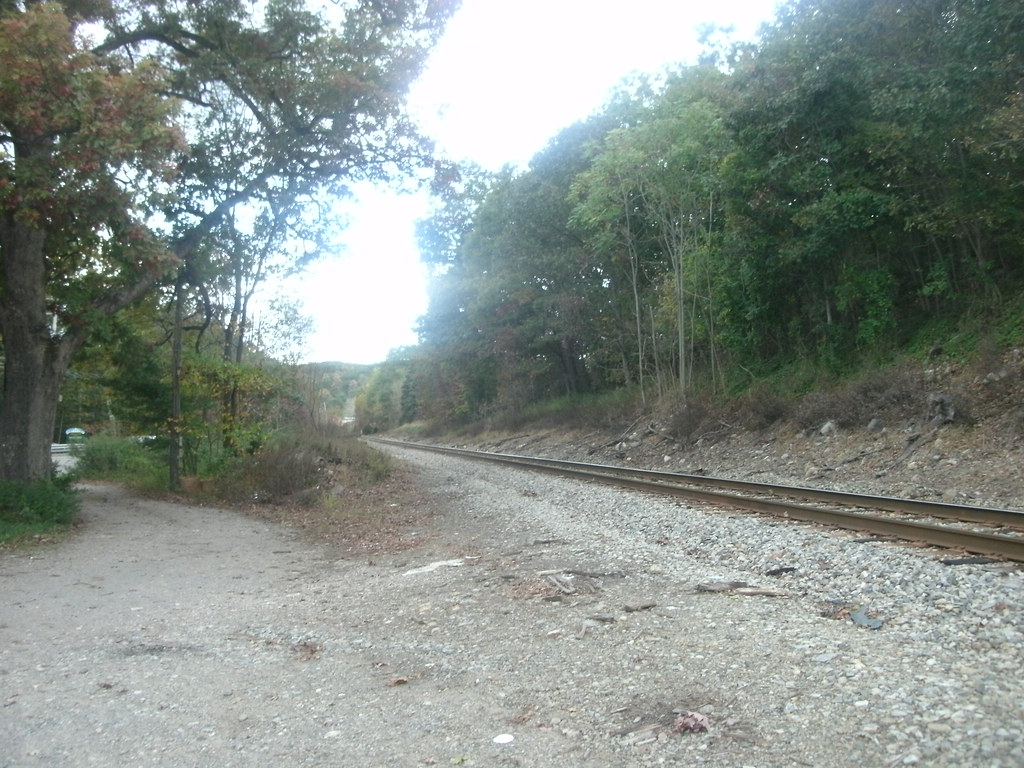 Legrande Loop TrailHiking · ~6 min drivePhoto: Roadgeek Adam, CC BY-SA 2.0 (via Flickr)
- Yellow-Silver TrailHiking · ~4 min drive
 Celery Farm PathHiking · ~6 min drivePhoto: cyeb73heb, Public Domain Dedication (CC0) (via Flickr)
- Old GuardHiking · ~4 min drive
- Rocky Ridge TrailHiking · Next door
- Halifax TrailHiking · ~4 min drive
Best time to visit Beeches Trail
Best months: April–October. Best months have typical highs of 55–85 °F, lows of 30 °F or warmer (32 °F where the station doesn't record snow), at most one snowy day and no more than 12 wet days.
Jan
38° / 20°
10 wet
Feb
40° / 20°
8 wet
Mar
48° / 29°
10 wet
Apr
59° / 39°
11 wet
May
71° / 50°
12 wet
Jun
79° / 58°
11 wet
Jul
84° / 64°
10 wet
Aug
83° / 63°
10 wet
Sep
76° / 56°
8 wet
Oct
64° / 43°
9 wet
Nov
53° / 35°
8 wet
Dec
43° / 27°
9 wet
Typical high / low (°F) and days with rain or snow, 1991–2020. Measured at Wanaque Raymond Dam, NJ, 5.2 mi away at 245 ft. This station doesn't record snowfall. Source: NOAA NCEI U.S. Climate Normals 1991–2020.
Map and trail data © OpenStreetMap contributors
