Legrande Loop Trail
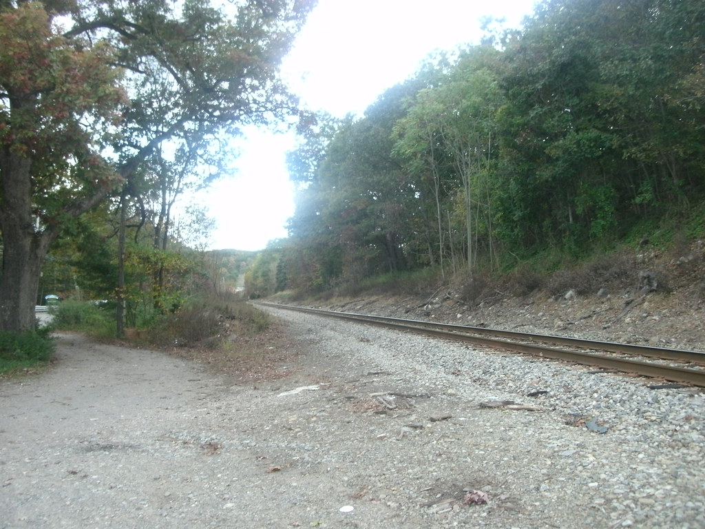 Photo: Roadgeek Adam, CC BY-SA 2.0 (via Flickr)
- 1.8 mi
- loop
- 274 ft
- climb
- 731 ft
- high point
- Loop
- route
Legrande Loop Trail is a 1.8-mile loop in Ramapo Mountain State Forest in New Jersey, managed by the State Department of Natural Resources. The trail is rated easy, with a total elevation gain of 274 feet and a total loss of 419 feet over the course of the loop. The steepest part comes at about 1.4 miles, where the grade reaches 21 percent. The most comfortable months for a visit are typically late spring and early fall. Typical averages from the nearby Wanaque Raymond Dam weather station show May highs around 71°F and September highs around 76°F, though that station sits well below the trail, so temperatures on the loop run cooler. Bikes are not allowed on this trail. Several other trails start close by, including the Cannonball Trail and Castle Loop Trail, each about 0.4 miles away, and the Wanaque Ridge Trail at about half a mile. Paddlers can reach the Wanaque River, roughly 1.9 miles off.
- Cannonball TrailHiking0.4 mi
- Castle Loop TrailHiking0.4 mi
- Wanaque Ridge TrailHiking0.5 mi
- Wanaque RiverCanoeing1.9 mi
- Sector 2Rock climbing3.6 mi
- QuarantineRock climbing3.6 mi
- Easter Island BoulderRock climbing3.6 mi
- Ramapo RiverRiver fishing5.8 mi
Source: Roamze catalog (indexable pages within 10 miles, PostGIS distance)
- Ramapo Lake LoopHiking · ~1 min drivePhoto: Roadgeek Adam, CC BY-SA 2.0 (via Flickr)
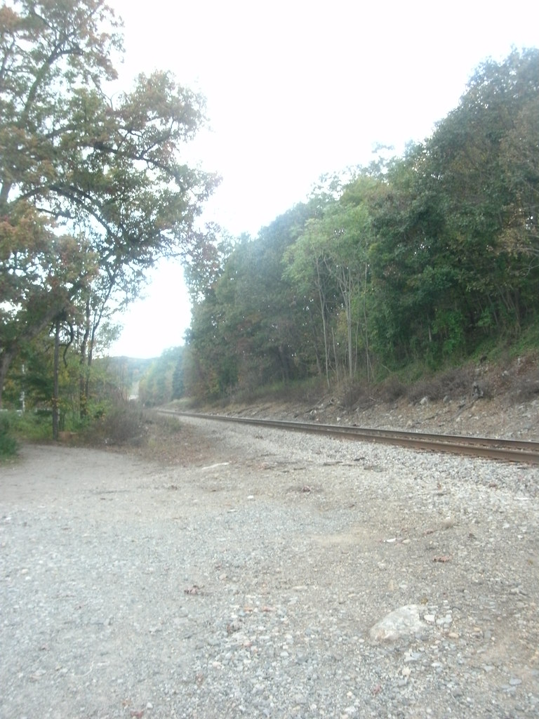 Legrande - Lake Connector TrailHiking · ~1 min drivePhoto: Roadgeek Adam, CC BY-SA 2.0 (via Flickr)
- Hoeferlin Memorial TrailHiking · ~2 min drivePhoto: Roadgeek Adam, CC BY-SA 2.0 (via Flickr)
- Indian Rock TrailHiking · ~2 min drivePhoto: Roadgeek Adam, CC BY-SA 2.0 (via Flickr)
- Cannonball TrailHiking · Next door
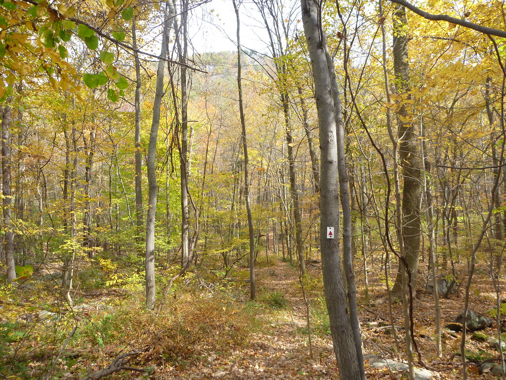 Stonetown Circular TrailHiking · ~6 min drivePhoto: daveclausen, CC BY 2.0 (via Flickr)
- Castle Loop TrailHiking · Next door
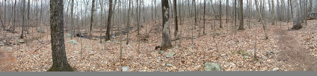 Lower TrailHiking · ~6 min drivePhoto: _strata_, CC BY 2.0 (via Flickr)
- Pool Hollow TrailHiking · ~1 min drive
- Carris Hill Connector TrailHiking · ~7 min drivePhoto: _strata_, CC BY 2.0 (via Flickr)
Map and trail data © OpenStreetMap contributors
