Camp Glen Gray
Campground
Campground · 6.4 mi from the trail
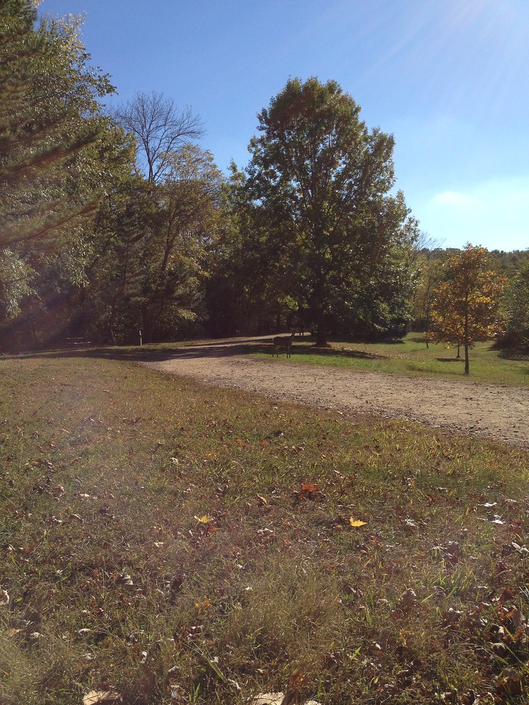
 Photo: cyeb73heb, Public Domain Dedication (CC0) (via Flickr)
Celery Farm Path is a short, flat loop in New Jersey, set within the Celery Farm area on city land. The route is about 1.1 miles long, and the loop climbs from roughly 267 feet to about 271 feet, so it's a level walk with almost no elevation gain. The path is easy to fit into a day. The steepest stretch comes at about 0.59 miles in, with a grade of 8 percent. Because the high and low points are only a few feet apart, the climb isn't a factor in the pace of the walk. Late spring and early fall are the most comfortable times to go. Typical averages from a nearby weather station run to highs around 71°F in May and 76°F in September, while July and August average in the mid-80s. Several other trails sit within a few miles. The NJRT / PSE&G Path is about 2.4 miles away, and the Hemlock Trail and Silver Trail are each about 3.8 miles off. Anglers can reach the Ramapo River at about 4.5 miles.
Camp Glen Gray
Campground
 If it rainsLithium6ion, CC0 · Wikimedia Commons
Erie Railroad Signal Tower, Waldwick Yard
Museum
Signal box in New Jersey, United States of America
Places © OpenStreetMap contributors · Photos: Lithium6ion, CC0 (commons)
More in Mount KiscoNot on Roamze yet. Their page has how to reach them.
Source: Roamze catalog (indexable pages within 10 miles, PostGIS distance)
 Vista Spur TrailHiking · ~8 min drivePhoto: Flyinace2000, CC BY-SA 2.0 (via Flickr)White TrailHiking · ~9 min drivePhoto: Flyinace2000, CC BY-SA 2.0 (via Flickr)
 PSE&G PathHiking · ~8 min drivePhoto: Hernan Vargas from Saddle Brook, USA, CC BY-SA 2.0 (via Wikimedia Commons)
 Island Bridges TrailHiking · ~9 min drivePhoto: akasped, CC BY 2.0 (via Flickr)White TrailHiking · ~9 min drivePhoto: Hernan Vargas from Saddle Brook, USA, CC BY-SA 2.0 (via Wikimedia Commons)
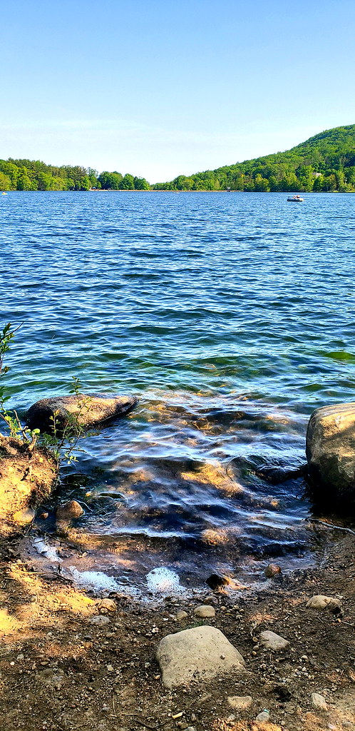 Preserve Shoreline Loop TrailHiking · ~9 min drivePhoto: JillTheThrill, CC BY 2.0 (via Flickr)
Best months: April–October. Best months have typical highs of 55–85 °F, lows of 30 °F or warmer (32 °F where the station doesn't record snow), at most one snowy day and no more than 12 wet days.
Jan
38° / 20°
10 wet
Feb
40° / 20°
8 wet
Mar
48° / 29°
10 wet
Apr
59° / 39°
11 wet
May
71° / 50°
12 wet
Jun
79° / 58°
11 wet
Jul
84° / 64°
10 wet
Aug
83° / 63°
10 wet
Sep
76° / 56°
8 wet
Oct
64° / 43°
9 wet
Nov
53° / 35°
8 wet
Dec
43° / 27°
9 wet
Typical high / low (°F) and days with rain or snow, 1991–2020. Measured at Wanaque Raymond Dam, NJ, 8.8 mi away at 245 ft. This station doesn't record snowfall. Source: NOAA NCEI U.S. Climate Normals 1991–2020.
Map and trail data © OpenStreetMap contributors
