Perimeter
- 0.2 mi
- round trip
- 1,622 ft
- high point
- Out and back
- route
- Easy
- difficulty
Perimeter is a short, flat cross-country ski route in the Pemigewasset Ranger District of White Mountain National Forest in New Hampshire. It sits about 0.18 miles from the start point, and the out-and-back trip covers about 0.36 miles with no elevation gain. Winter is the natural season for this route. Typical averages from the nearby Pinkham Notch weather station show January highs around 26°F and lows near 6°F, while July and August run in the mid-70s by day and around 50°F at night. That station sits about 400 feet lower than the route, so temperatures on the ski trail run a little cooler. Bridle Path, another cross-country ski route, is about 0.2 miles away, and the B&M mountain biking trail is about 0.3 miles off. For more time in the area, Omni Mount Washington Resort, Bretton Woods, offers lake fishing about 1.2 miles away, and Cherry Mountain Road Camping is about 3.3 miles away.
- Bridle PathCross-country skiing0.2 mi
- B&MMountain biking0.3 mi
 Omni Mount Washington Resort, Bretton WoodsLake fishing1.2 mi
- Mount OscarRock climbing2.6 mi
- Cherry Mountain Road CampingCamping3.3 mi
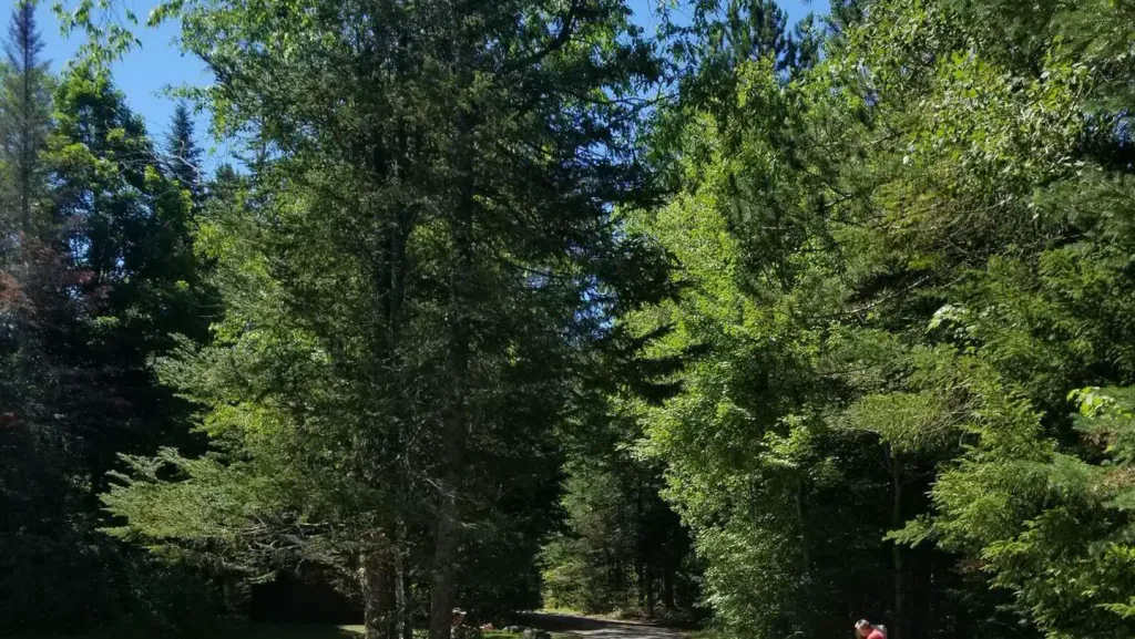 Sugarloaf 2 CampgroundCampingPhoto: Recreation.gov (RIDB) / public domain3.4 mi
- Elephant's HeadRock climbing3.4 mi
 Israel RiverCanoeingPhoto: Ken Gallager at en.wikipedia, Public domain (via Wikimedia Commons)7.7 mi
Source: Roamze catalog (indexable pages within 10 miles, PostGIS distance)
- Bridle PathCross-country skiing · Next door
- PerimeterCross-country skiing · Next door
- PerimeterCross-country skiing · Next door
- Coronary HillsCross-country skiing · Next door
- EskerCross-country skiing · Next door
- PerimeterCross-country skiing · Next door
- EskersionCross-country skiing · ~1 min drive
- StumpwalkCross-country skiing · Next door
- B&MCross-country skiing · Next door
- Muskeekee SpringsCross-country skiing · ~2 min drive

Map and trail data © OpenStreetMap contributors
