Eskersion
- 0.1 mi
- round trip
- 34 ft
- climb
- 1,629 ft
- high point
- Out and back
- route
Is Eskersion open right now?
Closure in the area
There's a closure order in White Mountain National Forest. It doesn't name Eskersion, so check the source for the area it covers (2 listed).
Wild River Fire - Androscoggin Ranger District
Agency closure covering White Mountain National Forest · USFS · White Mountain National Forest
Rattlesnake Fire – Pemigewasset Ranger District
Agency closure covering White Mountain National Forest · USFS · White Mountain National Forest
Town Hall Road Camping and Fire Restrictions
Agency alert covering White Mountain National Forest · USFS · White Mountain National Forest
Lincoln Woods Trail Closure
Agency alert covering White Mountain National Forest · USFS · White Mountain National Forest
Forest Roads Status
Agency alert covering White Mountain National Forest · USFS · White Mountain National Forest
As of · Source: USFS · White Mountain National Forest. Agencies don't list every closure — check before you go.
Eskersion is a short, out-and-back cross-country ski route in the Pemigewasset Ranger District of White Mountain National Forest in New Hampshire. The route is about 0.28 miles long, with a high point of 1,629 feet and a low of 1,599 feet. The climb is flat, and the total gain and loss are each about 34 feet, so the route is essentially a short loop with a slight rise and fall. Winter is the natural season for this ski route. Typical averages from the nearby Pinkham Notch weather station show January highs around 26°F and lows near 6°F, with February similar at about 28°F and 7°F. The station sits about 400 feet lower than the route, so temperatures on the trail run a little cooler. The route sits close to two other cross-country ski areas, Outlook and Brookside, each about 0.1 mile away. Omni Mount Washington Resort, Bretton Woods, offers lake fishing about 1.4 miles off, and Sugarloaf 2 Campground is about 3.5 miles away.
- OutlookCross-country skiing0.1 mi
- BrooksideCross-country skiing0.1 mi
 Omni Mount Washington Resort, Bretton WoodsLake fishing1.4 mi
- Mount OscarRock climbing2.5 mi
- Elephant's HeadRock climbing2.8 mi
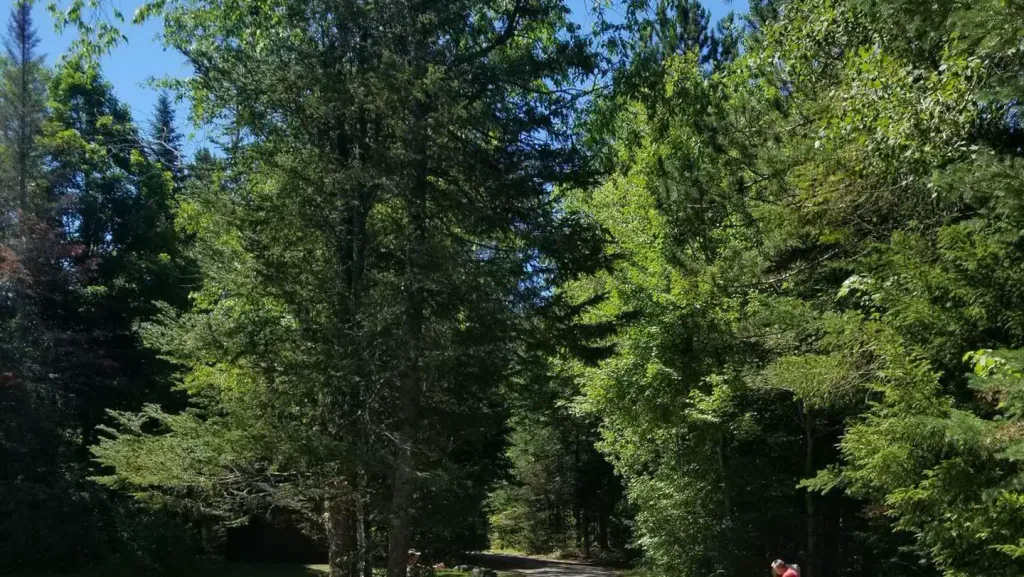 Sugarloaf 2 CampgroundCampingPhoto: Recreation.gov (RIDB) / public domain3.5 mi
- Sugarloaf ICamping3.5 mi
 Israel RiverCanoeingPhoto: Ken Gallager at en.wikipedia, Public domain (via Wikimedia Commons)8.3 mi
Source: Roamze catalog (indexable pages within 10 miles, PostGIS distance)
- BrooksideCross-country skiing · Next door
- Biathlon StreetCross-country skiing · Next door
- PerimeterCross-country skiing · Next door
- Muskeekee SpringsCross-country skiing · Next door
- Chris' CrossingCross-country skiing · Next door
- EskerCross-country skiing · Next door
- Coronary HillsCross-country skiing · Next door
- TurnpikeCross-country skiing · Next door
- Mountain RoadCross-country skiing · Next door
- Boulder SpringCross-country skiing · ~2 min drive

Map and trail data © OpenStreetMap contributors
