Ethan Pond Shelter
Campground
Campground · 0.9 mi from the trail
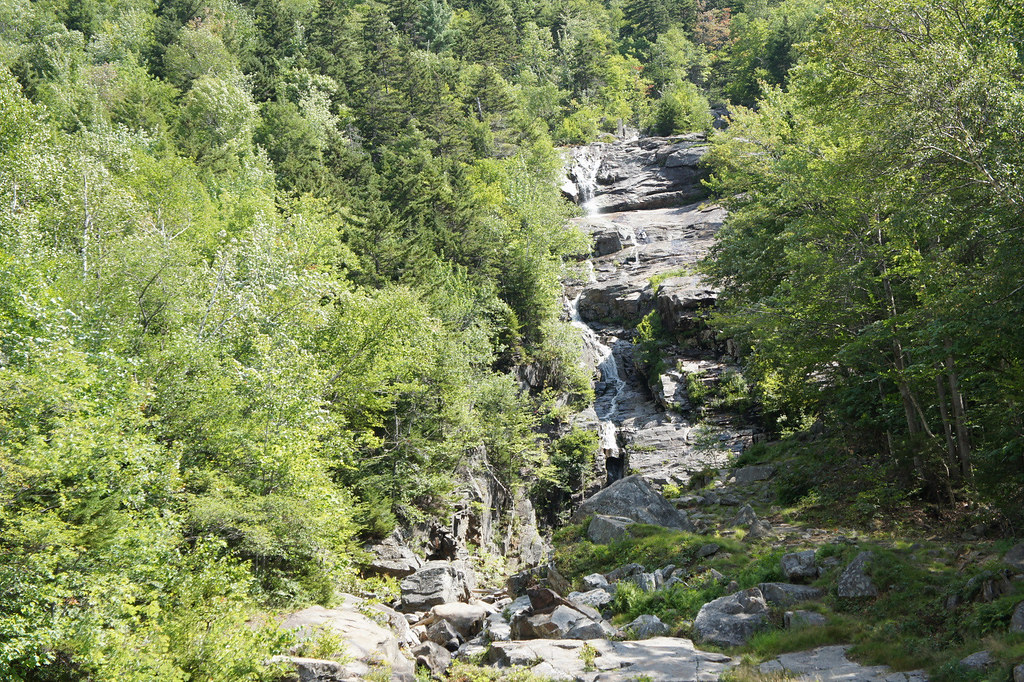 Photo: JimboRocks, CC BY-SA 2.0 (via Flickr)
Closure in the area
There's a closure order in Appalachian National Scenic Trail. It doesn't name Willey Range Trail, so check the source for the area it covers.
List of trail closures post-Hurricane Helene
Park closure covering Appalachian National Scenic Trail · NPS · Appalachian National Scenic Trail
Black Bears Frequenting the McAfee Knob Area in Virginia
Park alert covering Appalachian National Scenic Trail · NPS · Appalachian National Scenic Trail
As of · Source: NPS · Appalachian National Scenic Trail. Agencies don't list every closure — check before you go.
Willey Range Trail is a 3-mile point-to-point hike in New Hampshire, set within the Appalachian National Scenic Trail corridor. It rises from about 2,690 feet to a high point of 4,318 feet, with a total elevation gain of 2,547 feet. The climb is front-loaded, so the steepest stretch comes early in the route. The trail is rated moderate, and it is not open to horses or bikes. The start sits at roughly 2,690 feet, and the high point is about 4,318 feet, so plan for a steady climb over the course of the hike. Several other destinations sit close by. The Ethan Pond Trail and Kedron Flume Trail are both within a third of a mile, and Ethan Pond Shelter is about 0.9 miles away. Climbers can find Main Slab about 1.2 miles off.
Ethan Pond Shelter
Campground
 If it rainsKen Gallager, CC BY-SA 4.0 · Wikimedia Commons
Places © OpenStreetMap contributors, Places © Overture Maps Foundation · Photos: Ken Gallager, CC BY-SA 4.0 (commons)
More in North ConwayDaily highs and lows, wind and the chance of precipitation at the summit and route start for the next 7 days, from the Open-Meteo model.
 ETHAN POND TRAILHikingPhoto: Northfoot Adventures, CC BY 2.0 (via Flickr)0.2 mi
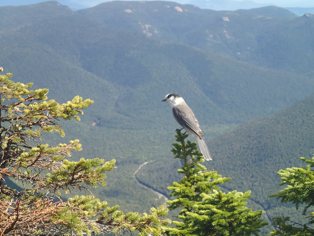
 Kedron Flume TrailHikingPhoto: ahisgett, CC BY 2.0 (via Flickr)0.3 mi
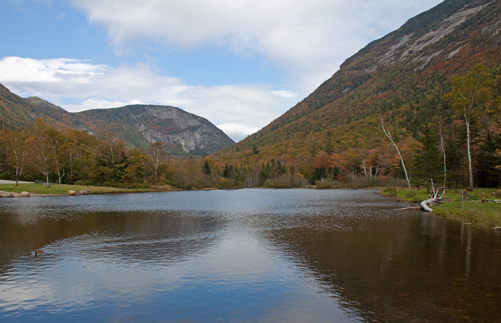
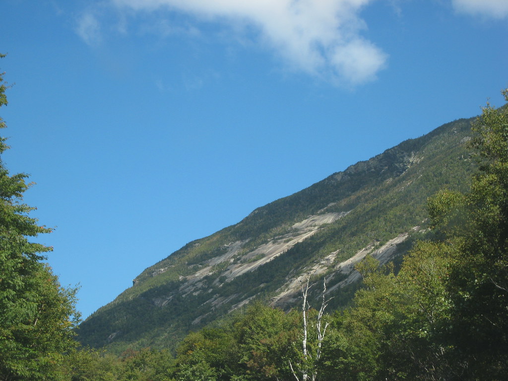 Westside TrailHikingPhoto: msprague, CC BY-SA 2.0 (via Flickr)1.1 mi
 Omni Mount Washington Resort, Bretton WoodsLake fishing6.4 mi
Source: Roamze catalog (indexable pages within 10 miles, PostGIS distance)
ETHAN POND TRAILHiking · Next doorPhoto: Northfoot Adventures, CC BY 2.0 (via Flickr)Kedron Flume TrailHiking · Next doorPhoto: ahisgett, CC BY 2.0 (via Flickr)Westside TrailHiking · ~2 min drivePhoto: msprague, CC BY-SA 2.0 (via Flickr) Webster-Jackson TrailHiking · ~3 min drivePhoto: Ktr101, CC BY-SA 2.0 (via Flickr)
 CRAWFORD PATHHiking · ~8 min drivePhoto: Ktr101, CC BY-SA 2.0 (via Flickr)Sam Willey TrailHiking · ~1 min drivePhoto: msprague, CC BY-SA 2.0 (via Flickr)
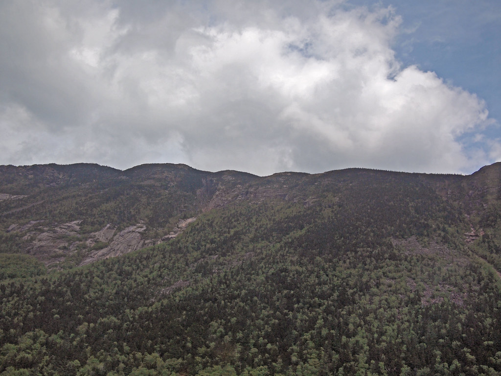 Arethusa-Ripley Falls TrailHiking · ~2 min drivePhoto: rickpilot_2000, CC BY 2.0 (via Flickr)
 Zeacliff TrailHiking · ~8 min drivePhoto: matt.a, CC BY 3.0 (via Wikimedia Commons)Saco River TrailHiking · ~2 min drivePhoto: rickpilot_2000, CC BY 2.0 (via Flickr)Webster Cliff TrailHiking · ~3 min drivePhoto: Ktr101, CC BY-SA 2.0 (via Flickr)
Also worth it near here
 Mount WilleySummit · ~1 min drivePhoto: wwoods, CC BY-SA 3.0 (via Wikimedia Commons)
 Arethusa FallsWaterfall · ~4 min drivePhoto: Wgreaves, CC BY-SA 4.0 (via Wikimedia Commons)
 Ethan & Abel SlabsRock climbing · ~5 min drivePhoto: Bob Linsdell, CC BY 3.0 (via Wikimedia Commons)
About 3.0 mi.
About 2,547 ft of climbing round trip.
It is rated moderate.
About 2.5 hours round trip.
Map and trail data © OpenStreetMap contributors
