Rumney Rattlesnake Campground
Campground
Campground · 6.6 mi from the trail
West Loop is a 1.5-mile loop hike in New Hampshire, about a tenth of a mile from the town of Dorchester. It's a short, easy outing, with a steady climb of 221 feet to a high point of 1,524 feet before returning to nearly the same elevation. The route stays within a few hundred feet of its starting point, making it a natural fit for a quick walk or a longer outing combined with other trails in the area. The steepest stretch comes at about 0.57 miles in, with an 8% grade, but the climb is otherwise gentle. Summer and early fall are the most comfortable times to go. Typical averages from a nearby weather station in Wentworth show July highs around 82°F and September highs near 72°F. That station sits well below the trail, so temperatures on the loop run cooler. Town House Trail starts just 0.1 mile away, and the East Loop ski trail is 0.2 mile off. The Quimby Bike Trail is within a mile, and climbers can head to Buffalo Pit, about 5.8 miles away.
Rumney Rattlesnake Campground
Campground
 If it rainsDaderot, CC0 · Wikimedia Commons
Places © OpenStreetMap contributors · Photos: Daderot, CC0 (commons)
More in BradfordSource: Roamze catalog (indexable pages within 10 miles, PostGIS distance)
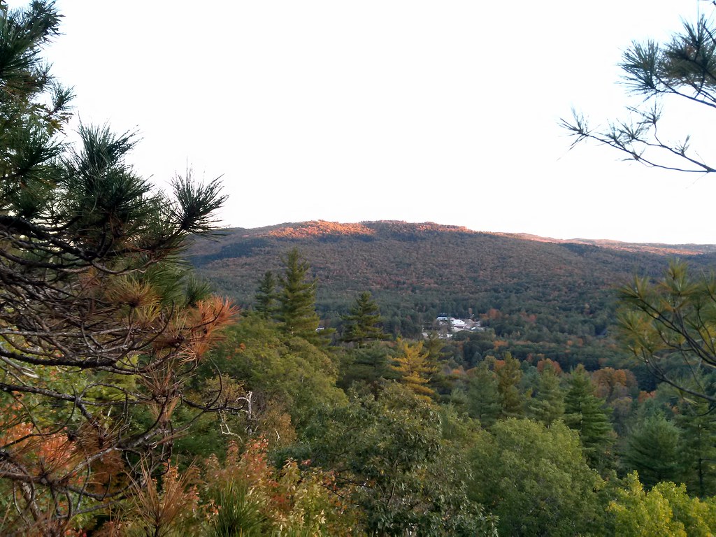 Final Frontier TrailHiking · ~10 min drivePhoto: just6979, CC BY-SA 2.0 (via Flickr)
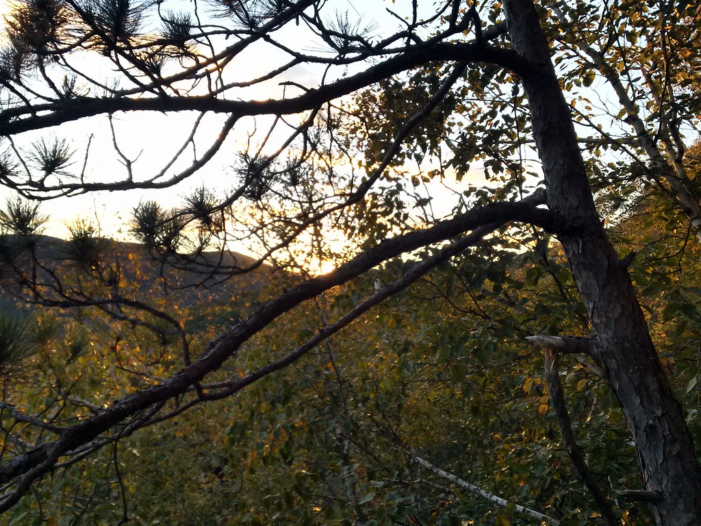 Rattlesnake MtnHiking · ~10 min drivePhoto: just6979, CC BY-SA 2.0 (via Flickr)
 Back 80 TrailHiking · ~11 min drivePhoto: Šarūnas Burdulis from USA, CC BY-SA 2.0 (via Wikimedia Commons)
Best months: September. Best months have typical highs of 55–85 °F, lows of 30 °F or warmer (32 °F where the station doesn't record snow), at most one snowy day and no more than 12 wet days.
Jan
29° / 7°
12 wet · 10 snow
Feb
33° / 8°
10 wet · 9 snow
Mar
42° / 17°
10 wet · 6 snow
Apr
56° / 29°
11 wet · 2 snow
May
68° / 40°
15 wet
Jun
77° / 50°
16 wet
Jul
82° / 55°
16 wet
Aug
81° / 53°
14 wet
Sep
72° / 46°
12 wet
Oct
59° / 35°
15 wet · 1 snow
Nov
46° / 25°
13 wet · 3 snow
Dec
35° / 16°
13 wet · 8 snow
Typical high / low (°F) and days with rain or snow, 1991–2020. Measured at Wentworth, NH, 7.6 mi away at 653 ft. The station sits about 900 ft lower than this place, so expect it a little cooler here. Source: NOAA NCEI U.S. Climate Normals 1991–2020.
Map and trail data © OpenStreetMap contributors
