Hexacuba Shelter
Campground
Campground · 3.6 mi from the trail
Closure in the area
There's a closure order in White Mountain National Forest. It doesn't name Daniel Doan Trail, so check the source for the area it covers (3 listed).
Wild River Fire - Androscoggin Ranger District
Agency closure covering White Mountain National Forest · USFS · White Mountain National Forest
List of trail closures post-Hurricane Helene
Park closure covering Appalachian National Scenic Trail · NPS · Appalachian National Scenic Trail
Rattlesnake Fire – Pemigewasset Ranger District
Agency closure covering White Mountain National Forest · USFS · White Mountain National Forest
Black Bears Frequenting the McAfee Knob Area in Virginia
Park alert covering Appalachian National Scenic Trail · NPS · Appalachian National Scenic Trail
Town Hall Road Camping and Fire Restrictions
Agency alert covering White Mountain National Forest · USFS · White Mountain National Forest
As of · Source: USFS · White Mountain National Forest. Agencies don't list every closure — check before you go.
Daniel Doan Trail is a hard hike in New Hampshire's White Mountain National Forest, managed by the National Park Service. It's a 2.76-mile out-and-back route that gains about 1,893 feet from the trailhead, which sits at roughly 3,234 feet, to a high point of 3,235 feet. The climb totals about 3,866 feet for the round trip, with the steepest stretch at about 45% grade near the start. The route crosses land units including the Pemigewasset Ranger District and the Appalachian National Scenic Trail, and it lies within the White Mountain National Forest. There is no fee to use the trail. Plan for about four hours on foot. The trail's steep beginning makes it a demanding outing, and the elevation gain is significant. Nearby, Smarts Mountain Trail and Cross Rivendell Trail are both about 2 miles away. Black Bog Trail, a cross-country ski route, is about 2.3 miles off. Hexacuba Shelter, about 3.6 miles away, offers a place to camp.
Hexacuba Shelter
Campground
 If it rainsDaderot, CC0 · Wikimedia Commons
Places © OpenStreetMap contributors · Photos: Daderot, CC0 (commons)
More in BradfordDaily highs and lows, wind and the chance of precipitation at the summit and route start for the next 7 days, from the Open-Meteo model.
Source: Roamze catalog (indexable pages within 10 miles, PostGIS distance)
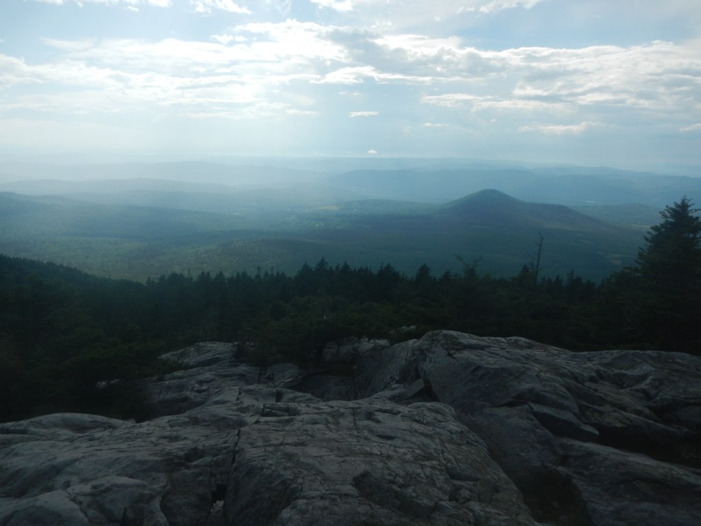 Cross Rivendell TrailHiking · ~7 min drivePhoto: John Hayes (gravelboy), CC BY 2.0 (via Flickr)
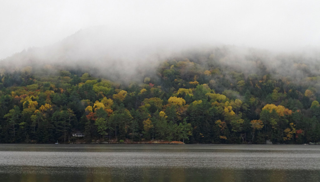 Grumman's Grove trailHiking · ~8 min drivePhoto: KimonBerlin, CC BY-SA 2.0 (via Flickr)Pike's Passage trailHiking · ~8 min drivePhoto: KimonBerlin, CC BY-SA 2.0 (via Flickr)
About 2.8 mi round trip.
About 3,866 ft of climbing round trip.
It is rated hard.
About 1 hour round trip.
Map and trail data © OpenStreetMap contributors

