Smith Connecting
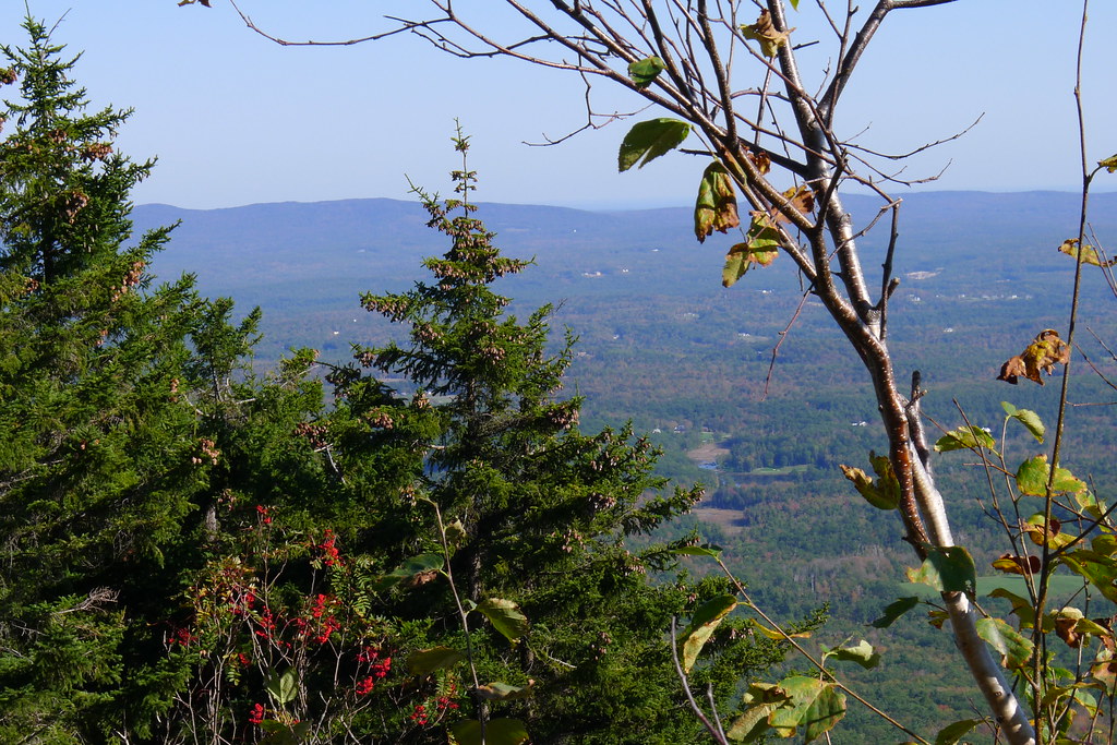
 Photo: randomduck, CC BY-SA 2.0 (via Flickr)
- 0.5 mi
- one way
- 193 ft
- climb
- 2,890 ft
- high point
- Point to point
- route
Smith Connecting is a short, easy hike in New Hampshire's Jaffrey - Monadnock Lot, about half a mile long and roughly 190 feet of elevation gain. It's a point-to-point route, so you'll start and end at different points rather than on a loop. The climb is gentle overall, with the steepest stretch at about 0.26 miles in, where the grade reaches 34%. The route starts at about 2,822 feet and peaks near 2,890 feet before descending slightly to around 2,618 feet at the end. Bikes are not allowed on this trail, so plan on walking it. The Red Spot Trail and Amphitheatre Trail both lie about 0.2 miles away, making it easy to pair this hike with another short outing. For time on the water, Nubanusit Brook and the Contoocook River are both within about 6.5 miles.
 Red Spot TrailHikingPhoto: randomduck, CC BY-SA 2.0 (via Flickr)0.2 mi
 Amphitheatre TrailHikingPhoto: ihamr, CC BY 2.0 (via Flickr)0.2 mi
- Nubanusit BrookCanoeing6.2 mi
- Contoocook RiverCanoeing6.5 mi
- Edward MacDowell Lake Day Use FacilitiesCamping6.6 mi
- Monadnock RegionRock climbing7.5 mi
- Stone Arch BridgeRock climbing8.4 mi
- Otter Brook Lake Recreation AreaCamping9.8 mi
Source: Roamze catalog (indexable pages within 10 miles, PostGIS distance)
- Red Spot TrailHiking · Next doorPhoto: randomduck, CC BY-SA 2.0 (via Flickr)
- Amphitheatre TrailHiking · Next doorPhoto: ihamr, CC BY 2.0 (via Flickr)
 Metacomet - Monadnock TrailHiking · Next doorPhoto: Karlunun, CC BY-SA 4.0 (via Wikimedia Commons)
- Cliff WalkHiking · Next doorPhoto: ihamr, CC BY 2.0 (via Flickr)
- Smith Summit TrailHiking · Next doorPhoto: Karlunun, CC BY-SA 4.0 (via Wikimedia Commons)
- Monadnock Recreational Rail TrailHiking · ~10 min drive
- Side Foot TrailHiking · Next doorPhoto: ihamr, CC BY 2.0 (via Flickr)
 Monte RosaHiking · Next doorPhoto: chipmunk_1, CC BY-SA 2.0 (via Flickr)
- Pumpelly TrailHiking · Next doorPhoto: Karlunun, CC BY-SA 4.0 (via Wikimedia Commons)
 Marian TrailHiking · ~1 min drivePhoto: chipmunk_1, CC BY-SA 2.0 (via Flickr)

Map and trail data © OpenStreetMap contributors
