Smith Summit Trail
 Photo: Karlunun, CC BY-SA 4.0 (via Wikimedia Commons)
- 0.6 mi
- one way
- 519 ft
- climb
- 3,142 ft
- high point
- Point to point
- route
Smith Summit Trail is a short, point-to-point hike in New Hampshire's Jaffrey - Monadnock Lot, about 0.6 miles long and rising from roughly 2,632 feet to about 3,142 feet. The climb totals about 519 feet of gain, and the route ends with a drop of about 269 feet, so it works as a quick summit outing or a leg of a longer day on the surrounding trails. The trail sits close to two other hikes, Monte Rosa and Side Foot Trail, each about 0.2 miles away. For paddling, Nubanusit Brook and the Contoocook River are both within about 7 miles.
Keep exploring — more trails worth the drive
 Photo: chipmunk_1, CC BY-SA 2.0 (via Flickr)
Monte Rosa
Next door
Monte Rosa is a 0.34-mile point-to-point trail in New Hampshire with 32 ft gain.
 Photo: ihamr, CC BY 2.0 (via Flickr)
Side Foot Trail
Next door
Side Foot Trail is a 0.53-mile point-to-point trail in New Hampshire with 76 feet of elevation gain.
Photo: Karlunun, CC BY-SA 4.0 (via Wikimedia Commons)Metacomet - Monadnock Trail
Next door
17.32-mile point-to-point trail in New Hampshire with 7,328 ft gain.
Photo: ihamr, CC BY 2.0 (via Flickr)Amphitheatre Trail
Next door
0.37-mile point-to-point trail in New Hampshire with 207 ft gain.
Photo: ihamr, CC BY 2.0 (via Flickr)Cliff Walk
Next door
1.47-mile point-to-point trail in New Hampshire with 1,092 ft gain
HIKE
Monadnock Recreational Rail Trail
~10 min drive
11.42-mile out-and-back rail trail in New Hampshire with 1,007 ft elevation gain
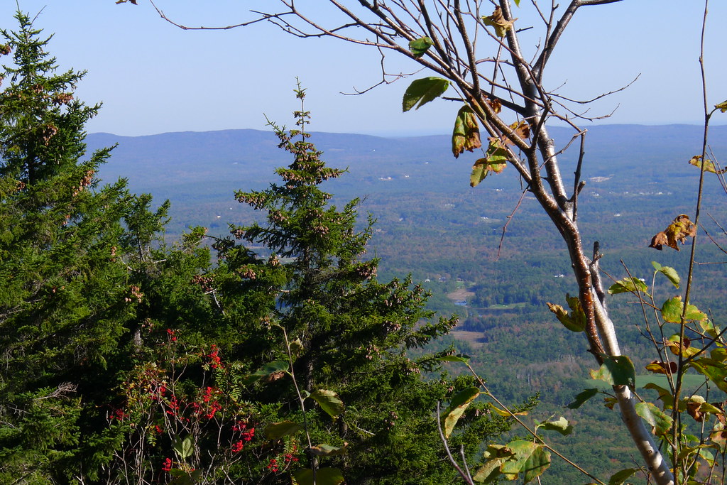 Photo: chipmunk_1, CC BY-SA 2.0 (via Flickr)
Marian Trail
Next door
Marian Trail is a 0.53-mile point-to-point trail in New Hampshire with 368 feet of elevation gain.
Photo: chipmunk_1, CC BY-SA 2.0 (via Flickr)Great Pasture Trail
Next door
0.30-mile point-to-point trail in New Hampshire with 336 ft gain.
Photo: chipmunk_1, CC BY-SA 2.0 (via Flickr)Old Halfway House Trail
Next door
Old Halfway House Trail is a 1.19-mile point-to-point trail in New Hampshire with 189 ft gain.
 Photo: jbylund, CC BY-SA 2.0 (via Flickr)
Monadnock-Sunapee Greenway
Next door
47.08-mile point-to-point trail in New Hampshire with 5,287 ft gain

Route details
- Distance
- 0.6 mi
- Climbing
- About 519 ft
- Summit
- 3,165 ft
- Difficulty
- Moderate
- Time
- About 0.5 hours
Other routes up Monadnock Mountain
Questions about this route
How long is the Smith Summit Trail on Monadnock Mountain?
About 0.6 mi.
How much elevation gain is on the Smith Summit Trail?
About 519 ft of climbing round trip.
How hard is the Smith Summit Trail?
It is rated moderate.
How long does the Smith Summit Trail take?
About 0.5 hours round trip.
How many routes go up Monadnock Mountain?
4: Pumpelly Trail, Metacomet - Monadnock Trail, Smith Summit Trail and White Dot Trail.
Conditions and forecast on Monadnock Mountain
Daily highs and lows, wind and the chance of precipitation at the summit and route start for the next 7 days, from the Open-Meteo model.
Map and trail data © OpenStreetMap contributors
