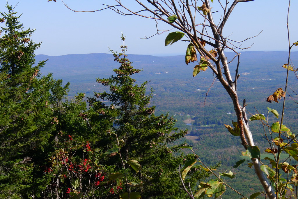
Red Spot Trail
 Photo: randomduck, CC BY-SA 2.0 (via Flickr)
- 0.9 mi
- one way
- 833 ft
- climb
- 2,975 ft
- high point
- Point to point
- route
Red Spot Trail is a short, steep hike in New Hampshire's Jaffrey Center area, about 3.3 miles from the town of Jaffrey Center. The trail is 0.86 miles long and climbs from 2961 feet to 2975 feet, a gain of 833 feet, which makes it a point-to-point route with a steeper grade of 37% around the 0.38-mile mark. The trail starts at a higher point, 2961 feet, and ends just a few feet lower at 2975 feet, so the total gain and loss are close. The climb is rated easy, and the trip is estimated to take about half an hour. The Smith Connecting and Pumpelly Trail hikes both lie within a third of a mile of Red Spot Trail, making it easy to link them into a longer outing. For paddling and camping, Nubanusit Brook and the Contoocook River are about 6 miles away, and the Monadnock Region climbing area is roughly 7.4 miles off.
 Smith ConnectingHikingPhoto: randomduck, CC BY-SA 2.0 (via Flickr)0.2 mi
 Pumpelly TrailHikingPhoto: Karlunun, CC BY-SA 4.0 (via Wikimedia Commons)0.3 mi
- Nubanusit BrookCanoeing6 mi
- Contoocook RiverCanoeing6.4 mi
- Edward MacDowell Lake Day Use FacilitiesCamping6.4 mi
- Monadnock RegionRock climbing7.4 mi
- Stone Arch BridgeRock climbing8.5 mi
- Otter Brook Lake Recreation AreaCamping9.7 mi
Source: Roamze catalog (indexable pages within 10 miles, PostGIS distance)
- Smith ConnectingHiking · Next doorPhoto: randomduck, CC BY-SA 2.0 (via Flickr)
- Metacomet - Monadnock TrailHiking · Next doorPhoto: Karlunun, CC BY-SA 4.0 (via Wikimedia Commons)
 Amphitheatre TrailHiking · Next doorPhoto: ihamr, CC BY 2.0 (via Flickr)
- Pumpelly TrailHiking · Next doorPhoto: Karlunun, CC BY-SA 4.0 (via Wikimedia Commons)
- Monadnock Recreational Rail TrailHiking · ~10 min drive
- Smith Summit TrailHiking · Next doorPhoto: Karlunun, CC BY-SA 4.0 (via Wikimedia Commons)
 Monadnock-Sunapee GreenwayHiking · Next doorPhoto: jbylund, CC BY-SA 2.0 (via Flickr)
 Monte RosaHiking · ~1 min drivePhoto: chipmunk_1, CC BY-SA 2.0 (via Flickr)
- Spellman TrailHiking · Next doorPhoto: randomduck, CC BY-SA 2.0 (via Flickr)
 Marian TrailHiking · ~1 min drivePhoto: chipmunk_1, CC BY-SA 2.0 (via Flickr)

Map and trail data © OpenStreetMap contributors
