Harrisville Rail Trail
- 1.4 mi
- round trip
- 416 ft
- climb
- 1,300 ft
- high point
- Out and back
- route
- Apr–Oct
- best months
Harrisville Rail Trail is an easy out-and-back hike in New Hampshire, about half a mile from the town of Harrisville. The route is roughly 2.8 miles long, with a steady climb that reaches a high point of about 1,300 feet. The trail starts near 1,229 feet and ends at about the same elevation, so the total gain and loss are each about 416 feet. The steepest stretch comes around 0.45 miles in, with a grade of about 7 percent. Late spring through early fall is the most comfortable time to go. Typical averages from a nearby weather station show June highs around 77°F and September highs around 73°F, with July the warmest month at about 83°F. The River Trail and the Zophar Willard Trail both start within a third of a mile. For paddling, Nubanusit Brook is about 5 miles away, and Edward MacDowell Lake Day Use Facilities offers camping about 6 miles out.
 River TrailHikingPhoto: dewittn, CC BY-SA 2.0 (via Flickr)0.2 mi
- Zophar Willard TrailHikingPhoto: dewittn, CC BY-SA 2.0 (via Flickr)0.3 mi
- Nubanusit BrookCanoeing4.9 mi
- Edward MacDowell Lake Day Use FacilitiesCamping6.2 mi
- Parking BouldersRock climbing6.5 mi
- De Pierrefeu BoulderRock climbing6.5 mi
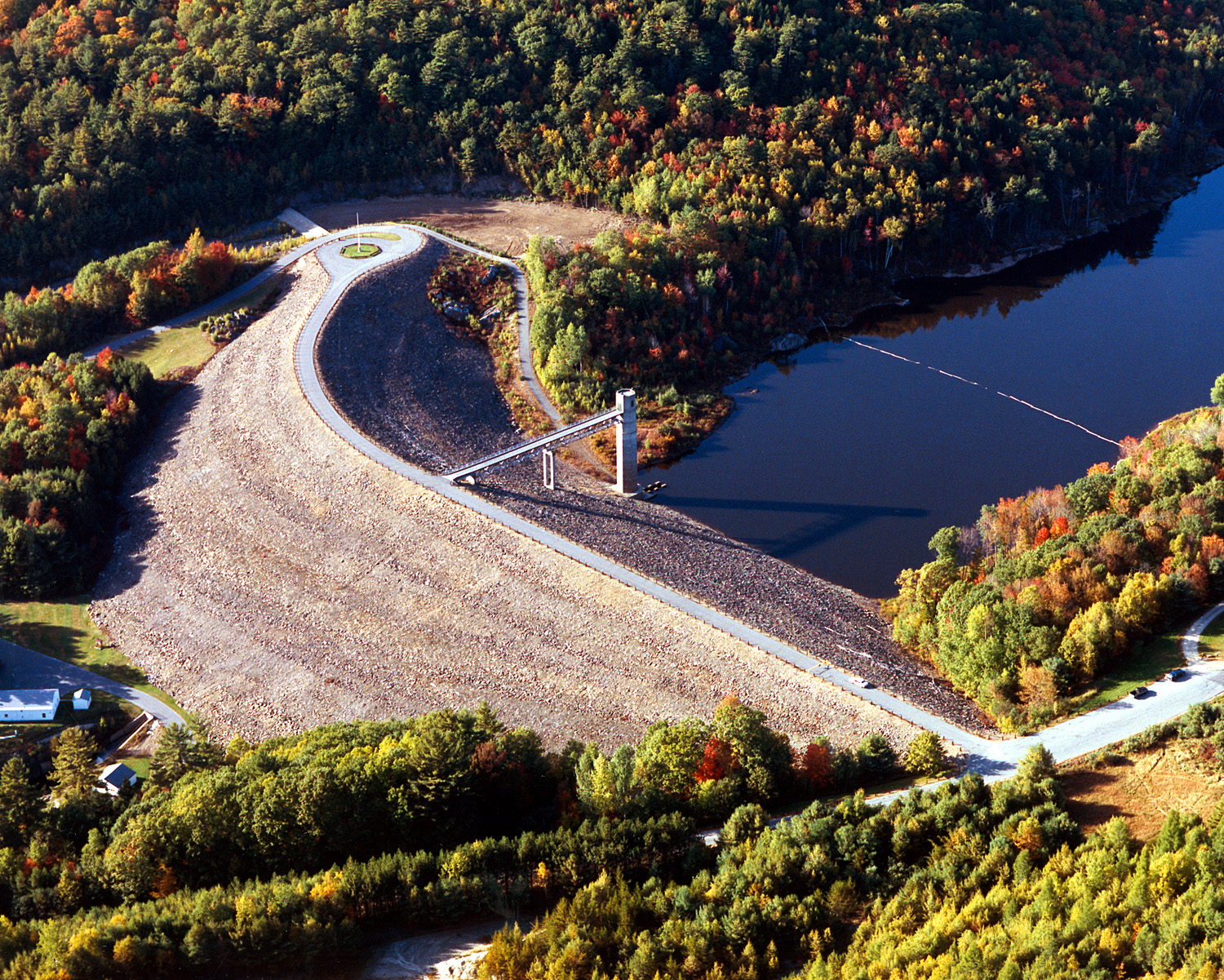 Otter BrookCanoeingPhoto: U.S. Army Corps of Engineers, photographer not specified or unknown, Public domain (via Wikimedia Commons)6.5 mi
- Spacious Skies Campgrounds - Seven MaplesCamping6.5 mi
Source: Roamze catalog (indexable pages within 10 miles, PostGIS distance)
- River TrailHiking · Next doorPhoto: dewittn, CC BY-SA 2.0 (via Flickr)
 Cadot TrailHiking · ~6 min drivePhoto: Steven Lamonde, CC BY 4.0 (via Wikimedia Commons)
 Metacomet - Monadnock TrailHiking · ~9 min drivePhoto: Karlunun, CC BY-SA 4.0 (via Wikimedia Commons)
- Zophar Willard TrailHiking · Next doorPhoto: dewittn, CC BY-SA 2.0 (via Flickr)
- Smith Summit TrailHiking · ~10 min drivePhoto: Karlunun, CC BY-SA 4.0 (via Wikimedia Commons)
 Dublin Rotary TrailHiking · ~4 min drivePhoto: Unknown authorUnknown author, Public domain (via Wikimedia Commons)
 Amphitheatre TrailHiking · ~10 min drivePhoto: ihamr, CC BY 2.0 (via Flickr)
- Thumbs Up TrailHiking · ~6 min drivePhoto: Steven Lamonde, CC BY 4.0 (via Wikimedia Commons)
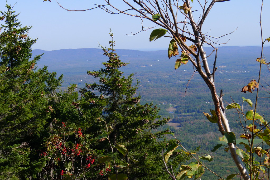 Marian TrailHiking · ~10 min drivePhoto: chipmunk_1, CC BY-SA 2.0 (via Flickr)
 Thumbs Down TrailHiking · ~7 min drivePhoto: Under the same moon..., CC BY 2.0 (via Flickr)
Best time to visit Harrisville Rail Trail
Best months: April–October. Best months have typical highs of 55–85 °F, lows of 30 °F or warmer (32 °F where the station doesn't record snow), at most one snowy day and no more than 12 wet days.
Jan
32° / 13°
Feb
35° / 14°
Mar
43° / 21°
Apr
56° / 34°
May
68° / 45°
Jun
77° / 55°
Jul
83° / 60°
Aug
80° / 58°
Sep
73° / 51°
Oct
60° / 38°
Nov
47° / 29°
Dec
37° / 20°
Typical high / low (°F) and days with rain or snow, 1991–2020. Measured at Jaffrey Silver Rch Airpark, NH, 9.9 mi away at 1,030 ft. This station doesn't record snowfall. Source: NOAA NCEI U.S. Climate Normals 1991–2020.

Map and trail data © OpenStreetMap contributors
