Cannon Mountain RV Park
Campground
Campground · 0.3 mi from the trail
 Photo: Ktr101, CC BY-SA 2.0 (via Flickr)
Bald Mtn - Artists Bluff Path is a short, easy out-and-back hike in New Hampshire, about 0.78 miles in length. It starts at an elevation of about 2,010 feet and rises to a high point of 2,317 feet, with a total elevation gain of about 725 feet over the course of the round trip. The trail is rated easy, and the trip takes about an hour. The nearest town is Mittersill, about 0.6 miles away. The climb is steepest near the 0.67-mile mark, where the grade reaches about 31%. The route is a good pairing with the climbing areas close by. Artist's Bluff is just 0.3 miles away, and Franconia Notch Bouldering and Square Inch Wall are both within a mile. Bridesmaids Falls Trail is about 0.8 miles off.
Cannon Mountain RV Park
Campground
 If it rainsKen Gallager, CC BY-SA 4.0 · Wikimedia Commons
Places © OpenStreetMap contributors, Places © Overture Maps Foundation · Photos: Ken Gallager, CC BY-SA 4.0 (commons)
More in BradfordDaily highs and lows, wind and the chance of precipitation at the summit and route start for the next 7 days, from the Open-Meteo model.
Bridesmaids Falls TrailHikingPhoto: Ktr101, CC BY-SA 2.0 (via Flickr)0.8 mi Pemigewasset RiverCanoeingPhoto: Public domain (via Wikimedia Commons)6.1 mi
Source: Roamze catalog (indexable pages within 10 miles, PostGIS distance)
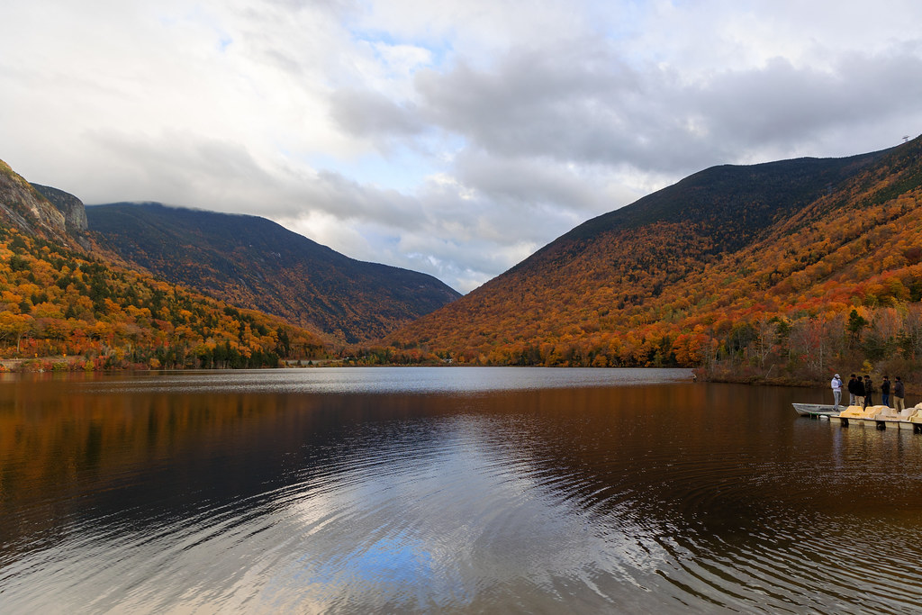 Loop TrailHiking · Next doorPhoto: Ktr101, CC BY-SA 2.0 (via Flickr)
 High Plains DrifterHiking · ~3 min drivePhoto: matt.a, CC BY 3.0 (via Wikimedia Commons)
 Lonesome Lake TrailHiking · ~3 min drivePhoto: matt.a, CC BY 3.0 (via Wikimedia Commons)Kinsman Ridge TrailHiking · ~6 min drivePhoto: matt.a, CC BY 3.0 (via Wikimedia Commons)Bridesmaids Falls TrailHiking · ~1 min drivePhoto: Ktr101, CC BY-SA 2.0 (via Flickr)Kinsman RidgeHiking · ~3 min drivePhoto: matt.a, CC BY 3.0 (via Wikimedia Commons)
 Hi-Cannon TrailHiking · ~5 min drivePhoto: matt.a, CC BY 3.0 (via Wikimedia Commons)
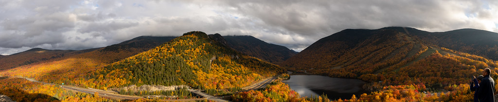 Notch-Way TrailHiking · ~1 min drivePhoto: Ktr101, CC BY-SA 2.0 (via Flickr)
 GreenleafHiking · ~4 min drivePhoto: Wesman83, CC BY-SA 3.0 (via Wikimedia Commons)
 Owls Head PathHiking · ~9 min drivePhoto: matt.a, CC BY 3.0 (via Wikimedia Commons)
Best months: September. Best months have typical highs of 55–85 °F, lows of 30 °F or warmer (32 °F where the station doesn't record snow), at most one snowy day and no more than 12 wet days.
Jan
28° / 3°
16 wet
Feb
30° / 4°
12 wet
Mar
40° / 14°
14 wet
Apr
53° / 27°
13 wet
May
67° / 39°
16 wet
Jun
76° / 48°
16 wet
Jul
80° / 53°
15 wet
Aug
79° / 50°
13 wet
Sep
72° / 42°
12 wet
Oct
58° / 32°
14 wet
Nov
45° / 24°
14 wet
Dec
33° / 12°
16 wet
Typical high / low (°F) and days with rain or snow, 1991–2020. Measured at Bethlehem 2, NH, 9.1 mi away at 1,180 ft. The station sits about 1,100 ft lower than this place, so expect it a little cooler here. This station doesn't record snowfall. Source: NOAA NCEI U.S. Climate Normals 1991–2020.
About 0.8 mi round trip.
About 725 ft of climbing round trip.
It is rated easy.
About 0.5 hours round trip.
Map and trail data © OpenStreetMap contributors

