Macgregor Trail
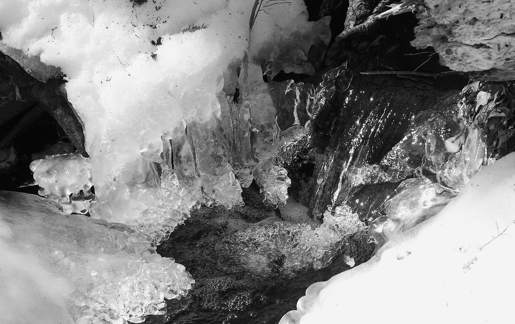 Photo: Under the same moon..., CC BY 2.0 (via Flickr)
- 0.8 mi
- one way
- 87 ft
- climb
- 865 ft
- high point
- Point to point
- route
- Apr–Oct
- best months
Macgregor Trail is a short, easy hike in New Hampshire, about 1.3 miles from the town of West Wilton. The route is 0.78 miles long, with a total elevation gain of 87 feet and a total loss of 99 feet, so it works well as a quick outing or a link between other trails in the area. Summer is the most comfortable time to go. Typical averages from a nearby weather station show July highs around 79°F with lows near 58°F, while September cools to highs around 70°F. The Castor Pond Loop Trail starts just 0.1 mile away, and the Camp Trail is about half a mile off. Heald Pond Trail and Fisk Hill - Spring Trail are each about 1.1 miles away.
 Castor Pond Loop TrailHikingPhoto: Under the same moon..., CC BY 2.0 (via Flickr)0.1 mi
- Camp TrailHikingPhoto: Under the same moon..., CC BY 2.0 (via Flickr)0.5 mi
 Heald Pond TrailHikingPhoto: Ocean Star, CC BY 3.0 (via Wikimedia Commons)1.1 mi
- Fisk Hill - Spring TrailHiking1.1 mi
- Purgatory FallsRock climbing5.9 mi
- Talus QuarryRock climbing6.1 mi
- Old Hutchinton Hill QuarryRock climbing6.5 mi
- Contoocook RiverCanoeing9.4 mi
Source: Roamze catalog (indexable pages within 10 miles, PostGIS distance)
- Castor Pond Loop TrailHiking · Next doorPhoto: Under the same moon..., CC BY 2.0 (via Flickr)
 Berry Pasture TrailHiking · ~8 min drivePhoto: Under the same moon..., CC BY 2.0 (via Flickr)
- Wapack TrailHiking · ~9 min drive
- Camp Loop TrailHiking · Next doorPhoto: Under the same moon..., CC BY 2.0 (via Flickr)
 Cliff TrailHiking · ~10 min drivePhoto: Under the same moon..., CC BY 2.0 (via Flickr)
- Camp TrailHiking · Next doorPhoto: Under the same moon..., CC BY 2.0 (via Flickr)
- Ted's TrailHiking · ~10 min drivePhoto: Under the same moon..., CC BY 2.0 (via Flickr)
- Heald Pond TrailHiking · ~2 min drivePhoto: Ocean Star, CC BY 3.0 (via Wikimedia Commons)
- Carolyn's TrailHiking · ~10 min drivePhoto: Under the same moon..., CC BY 2.0 (via Flickr)
 Upland TrailHiking · ~11 min drivePhoto: Dougtone, CC BY-SA 2.0 (via Wikimedia Commons)
Best time to visit Macgregor Trail
Best months: April–October. Best months have typical highs of 55–85 °F, lows of 30 °F or warmer (32 °F where the station doesn't record snow), at most one snowy day and no more than 12 wet days.
Jan
30° / 14°
9 wet
Feb
34° / 15°
7 wet
Mar
42° / 22°
9 wet
Apr
55° / 33°
9 wet
May
66° / 42°
11 wet
Jun
74° / 52°
10 wet
Jul
79° / 58°
9 wet
Aug
78° / 56°
8 wet
Sep
70° / 49°
8 wet
Oct
58° / 38°
9 wet
Nov
46° / 29°
9 wet
Dec
35° / 20°
9 wet
Typical high / low (°F) and days with rain or snow, 1991–2020. Measured at Greenville 1 Nne, NH, 2 mi away at 900 ft. This station doesn't record snowfall. Source: NOAA NCEI U.S. Climate Normals 1991–2020.

Map and trail data © OpenStreetMap contributors
