Dry River Shelter # 3
Campground
Campground · 0.9 mi from the trail
Caution today
Agency alerts are in effect for this area; weather is good · USFS, OpenWeather · checked 6 h ago
Closure in the area
There's a closure order in White Mountain National Forest. It doesn't name Isolation Trail, so check the source for the area it covers (2 listed).
Wild River Fire - Androscoggin Ranger District
Agency closure covering White Mountain National Forest · USFS · White Mountain National Forest
Rattlesnake Fire – Pemigewasset Ranger District
Agency closure covering White Mountain National Forest · USFS · White Mountain National Forest
Town Hall Road Camping and Fire Restrictions
Agency alert covering White Mountain National Forest · USFS · White Mountain National Forest
Lincoln Woods Trail Closure
Agency alert covering White Mountain National Forest · USFS · White Mountain National Forest
Forest Roads Status
Agency alert covering White Mountain National Forest · USFS · White Mountain National Forest
As of · Source: USFS · White Mountain National Forest. Agencies don't list every closure — check before you go.
Isolation Trail is a 2.4-mile moderate hike in the Presidential Range-Dry River Wilderness, part of the Saco Ranger District of White Mountain National Forest in New Hampshire. The Forest Service manages the land, and the route rises from about 2,823 feet to about 3,821 feet, with a total elevation gain of 982 feet. The climb is point to point, and the steepest stretch comes early, at about 0.18 miles in, with a grade of 16 percent. The trail is not open to bikes or horses. Plan on about 1.5 hours for the trip. The route is a short, direct climb, and the descent is steeper than the ascent, with a total loss of 1,101 feet. Nearby, the Mount Eisenhower Trail and the Cohos Trail both lie within about 1.6 miles. Hermit Lake Complex offers camping about 2.6 miles away, and Huntington Ravine, a climbing area, is about 3.5 miles off.
Dry River Shelter # 3
Campground
 If it rainsKen Gallager, CC BY-SA 4.0 · Wikimedia Commons
Places © OpenStreetMap contributors, Places © Overture Maps Foundation · Photos: Ken Gallager, CC BY-SA 4.0 (commons)
More in North Conway Omni Mount Washington Resort, Bretton WoodsLake fishing8 mi
Source: Roamze catalog (indexable pages within 10 miles, PostGIS distance)
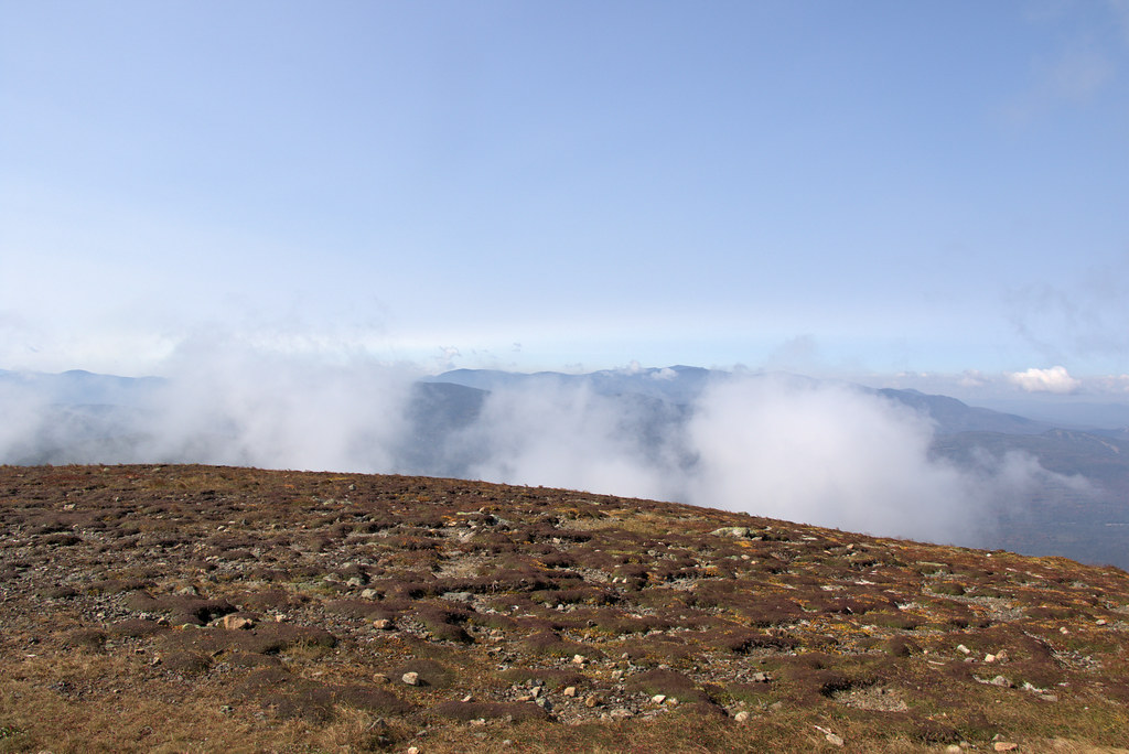 Mt Eisenhower LoopHiking · ~4 min drivePhoto: Ktr101, CC BY-SA 2.0 (via Flickr)
 Crawford PathHiking · ~5 min drivePhoto: Ktr101, CC BY-SA 2.0 (via Flickr)
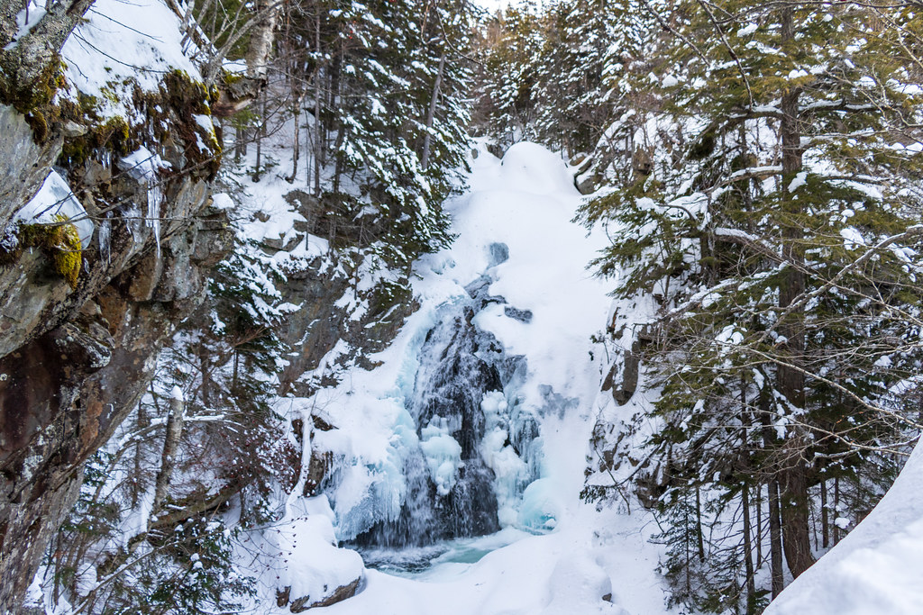 Tuckerman Ravine TrailHiking · ~6 min drivePhoto: Ktr101, CC BY-SA 2.0 (via Flickr)
 Huntington RavineHiking · ~6 min drivePhoto: daveynin, CC BY 2.0 (via Flickr)Dry RiverHiking · ~5 min drivePhoto: Ktr101, CC BY-SA 2.0 (via Flickr)
 Glen BoulderHiking · ~5 min drivePhoto: cafuego, CC BY-SA 2.0 (via Flickr)CRAWFORD PATHHiking · ~5 min drivePhoto: Ktr101, CC BY-SA 2.0 (via Flickr)Lost PondHiking · ~5 min drivePhoto: cafuego, CC BY-SA 2.0 (via Flickr)
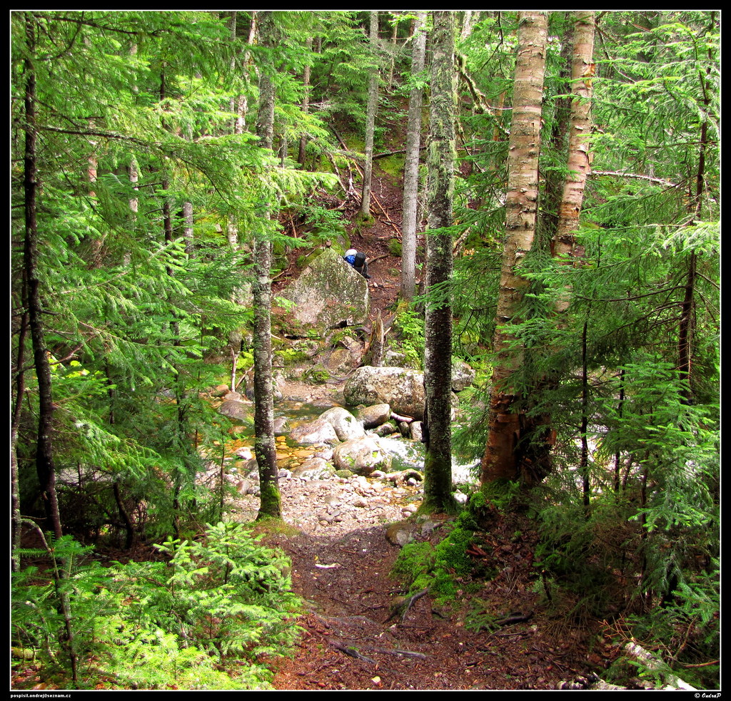 Mount Clinton TrailHiking · ~5 min drivePhoto: ondraposp, CC BY-SA 2.0 (via Flickr)
Map and trail data © OpenStreetMap contributors


