Perkins Notch Tent Site
Campground
Campground · 3.0 mi from the trail
Closure in the area
There's a closure order in White Mountain National Forest. It doesn't name Carter Dome Trail, so check the source for the area it covers (3 listed).
Wild River Fire - Androscoggin Ranger District
Agency closure covering White Mountain National Forest · USFS · White Mountain National Forest
List of trail closures post-Hurricane Helene
Park closure covering Appalachian National Scenic Trail · NPS · Appalachian National Scenic Trail
Rattlesnake Fire – Pemigewasset Ranger District
Agency closure covering White Mountain National Forest · USFS · White Mountain National Forest
Black Bears Frequenting the McAfee Knob Area in Virginia
Park alert covering Appalachian National Scenic Trail · NPS · Appalachian National Scenic Trail
Town Hall Road Camping and Fire Restrictions
Agency alert covering White Mountain National Forest · USFS · White Mountain National Forest
As of · Source: USFS · White Mountain National Forest. Agencies don't list every closure — check before you go.
Carter Dome Trail is a short, steep hike in New Hampshire's White Mountain National Forest, within the Androscoggin Ranger District and along the Appalachian National Scenic Trail. The trail is about half a mile long, rising roughly 500 feet from a starting point near 4,100 feet to a high point of about 4,580 feet. The climb is point to point, and the steepest stretch comes early, with a grade of about 23% at around 0.2 miles in. The Forest Service manages the land, and the route is not open to horses or bikes. The trip takes about half an hour, so plan on a quick outing rather than a full day. Carter Dome lies about 1.3 miles away, and North Carter and the Rainbow Trail are both within about 2.6 miles. For an overnight stay, Perkins Notch Tent Site is about 2.9 miles off.
Perkins Notch Tent Site
Campground
Museum of White Mountain Art / Jackson Historical Society
Museum
Places © OpenStreetMap contributors, Places © Overture Maps Foundation
More in North Conway North CarterHikingPhoto: drsmith7383, CC BY 2.0 (via Flickr)2.4 mi
Source: Roamze catalog (indexable pages within 10 miles, PostGIS distance)
North CarterHiking · ~4 min drivePhoto: drsmith7383, CC BY 2.0 (via Flickr) Aqueduct LoopHiking · ~5 min drivePhoto: msprague, CC BY-SA 2.0 (via Flickr)Nineteen Mile BrookHiking · ~5 min drivePhoto: msprague, CC BY-SA 2.0 (via Flickr)
 Nelson CragHiking · ~7 min drivePhoto: daveynin, CC BY 2.0 (via Flickr)Raymond PathHiking · ~7 min drivePhoto: daveynin, CC BY 2.0 (via Flickr)
 Thompson FallsHiking · ~6 min drivePhoto: Ktr101, CC BY-SA 2.0 (via Flickr)
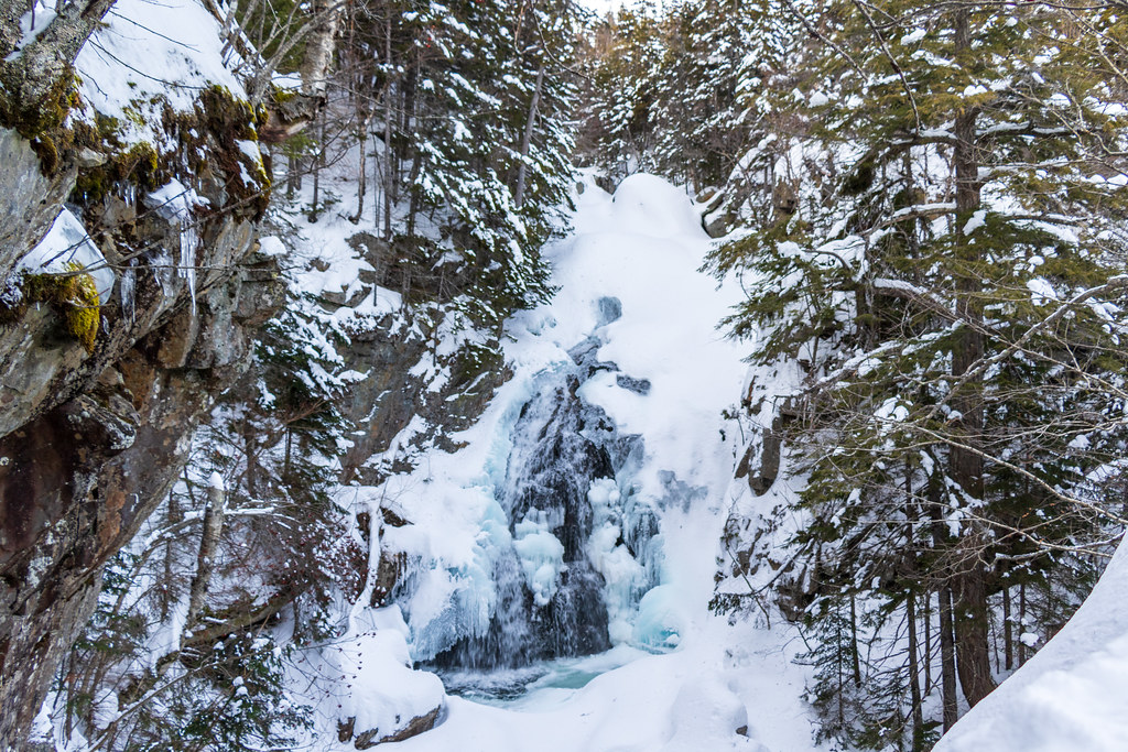 Tuckerman Ravine TrailHiking · ~7 min drivePhoto: Ktr101, CC BY-SA 2.0 (via Flickr)Avalanche Brook Ski TrailHiking · ~8 min drivePhoto: Ktr101, CC BY-SA 2.0 (via Flickr)
 Liebseskind's LoopHiking · ~6 min drivePhoto: Ktr101, CC BY-SA 2.0 (via Flickr)
 Great GulfHiking · ~8 min drivePhoto: daveynin, CC BY 2.0 (via Flickr)
Map and trail data © OpenStreetMap contributors


