Hermit Lake Complex
Campground
Campground · 2.0 mi from the trail
 Photo: daveynin, CC BY 2.0 (via Flickr)
Closure in the area
There's a closure order in White Mountain National Forest. It doesn't name Raymond Path, so check the source for the area it covers (3 listed).
Wild River Fire - Androscoggin Ranger District
Agency closure covering White Mountain National Forest · USFS · White Mountain National Forest
List of trail closures post-Hurricane Helene
Park closure covering Appalachian National Scenic Trail · NPS · Appalachian National Scenic Trail
Rattlesnake Fire – Pemigewasset Ranger District
Agency closure covering White Mountain National Forest · USFS · White Mountain National Forest
Black Bears Frequenting the McAfee Knob Area in Virginia
Park alert covering Appalachian National Scenic Trail · NPS · Appalachian National Scenic Trail
Town Hall Road Camping and Fire Restrictions
Agency alert covering White Mountain National Forest · USFS · White Mountain National Forest
As of · Source: USFS · White Mountain National Forest. Agencies don't list every closure — check before you go.
Raymond Path is a 4.3-mile out-and-back hike in New Hampshire's White Mountain National Forest, within the Androscoggin Ranger District and along the Appalachian National Scenic Trail. The Forest Service manages the land, and the trail is rated moderate, with a one-way elevation gain of 1,070 feet and a total round-trip gain of 1,776 feet. The route starts at about 2,660 feet and climbs to a high point of 3,710 feet, with the steepest stretch at about 0.5 miles in, where the grade reaches 20%. The trail is natural-surfaced and allows bikes, but it is not accessible. It is open year-round, and the trip takes about 2.5 hours. Nelson Crag sits just 0.1 mile away, and the Old Jackson Rd Xc cross-country ski route is 0.2 mile off. Climbers can head to Connie's Crag, about 0.8 mile away, and Hermit Lake Complex offers camping roughly 2 miles from the trail.
Hermit Lake Complex
Campground
The Glen House
Restaurant
 If it rainsKen Gallager, CC BY-SA 4.0 · Wikimedia Commons
Places © OpenStreetMap contributors · Photos: Ken Gallager, CC BY-SA 4.0 (commons)
More in North ConwayNelson CragHikingPhoto: daveynin, CC BY 2.0 (via Flickr)0.1 miSource: Roamze catalog (indexable pages within 10 miles, PostGIS distance)
Nelson CragHiking · Next doorPhoto: daveynin, CC BY 2.0 (via Flickr) Georges GorgeHiking · ~1 min drivePhoto: Ktr101, CC BY-SA 2.0 (via Flickr)Liebseskind's LoopHiking · ~2 min drivePhoto: Ktr101, CC BY-SA 2.0 (via Flickr)
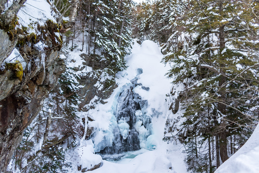 Tuckerman Ravine TrailHiking · ~2 min drivePhoto: Ktr101, CC BY-SA 2.0 (via Flickr)
 Huntington RavineHiking · ~3 min drivePhoto: daveynin, CC BY 2.0 (via Flickr)Avalanche Brook Ski TrailHiking · ~3 min drivePhoto: Ktr101, CC BY-SA 2.0 (via Flickr)
 Crew CutHiking · ~2 min drivePhoto: Ktr101, CC BY-SA 2.0 (via Flickr)WamsuttaHiking · ~3 min drivePhoto: daveynin, CC BY 2.0 (via Flickr)
 Chandler BrookHiking · ~4 min drivePhoto: Bob Linsdell, CC BY 2.0 (via Flickr)Thompson FallsHiking · ~2 min drivePhoto: Ktr101, CC BY-SA 2.0 (via Flickr)

