Dolly Copp Picnic Pavilion
Campground
Campground · 1.7 mi from the trail
 Photo: drsmith7383, CC BY 2.0 (via Flickr)
Closure in the area
There's a closure order in White Mountain National Forest. It doesn't name North Carter, so check the source for the area it covers (2 listed).
Wild River Fire - Androscoggin Ranger District
Agency closure covering White Mountain National Forest · USFS · White Mountain National Forest
Rattlesnake Fire – Pemigewasset Ranger District
Agency closure covering White Mountain National Forest · USFS · White Mountain National Forest
Town Hall Road Camping and Fire Restrictions
Agency alert covering White Mountain National Forest · USFS · White Mountain National Forest
Lincoln Woods Trail Closure
Agency alert covering White Mountain National Forest · USFS · White Mountain National Forest
Forest Roads Status
Agency alert covering White Mountain National Forest · USFS · White Mountain National Forest
As of · Source: USFS · White Mountain National Forest. Agencies don't list every closure — check before you go.
North Carter is a moderate out-and-back hike in New Hampshire's White Mountain National Forest, within the Androscoggin Ranger District. The trail is about 2.4 miles long, and it rises roughly 1,250 feet from a starting point near 3,250 feet to a high point of about 4,480 feet. The climb is front-loaded, with the steepest stretch, a grade of about 28%, coming within half a mile of the start. The Forest Service manages the land, and the trail's natural surface makes it suitable for hiking and biking. It is not an accessible trail. The route works year-round, and the estimated time for the trip is about 1.5 hours. Nearby options include the Imp hike and the Great Gulf Link, both about 1.7 to 1.8 miles away, along with Dolly Copp Campground and Barnes Field Campground, each within a few miles.
Dolly Copp Picnic Pavilion
Campground
The Glen House
Restaurant
Museum of White Mountain Art / Jackson Historical Society
Museum
Places © OpenStreetMap contributors
More in North Conway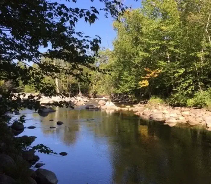 Dolly CoppCampingPhoto: Recreation.gov (RIDB) / public domain2.1 mi
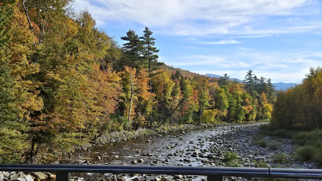 Barnes Field CampgroundCampingPhoto: Recreation.gov (RIDB) / public domain2.4 mi
Source: Roamze catalog (indexable pages within 10 miles, PostGIS distance)
 Nineteen Mile BrookHiking · ~3 min drivePhoto: msprague, CC BY-SA 2.0 (via Flickr)Aqueduct LoopHiking · ~3 min drivePhoto: msprague, CC BY-SA 2.0 (via Flickr)
 Nelson CragHiking · ~7 min drivePhoto: daveynin, CC BY 2.0 (via Flickr)Raymond PathHiking · ~7 min drivePhoto: daveynin, CC BY 2.0 (via Flickr)
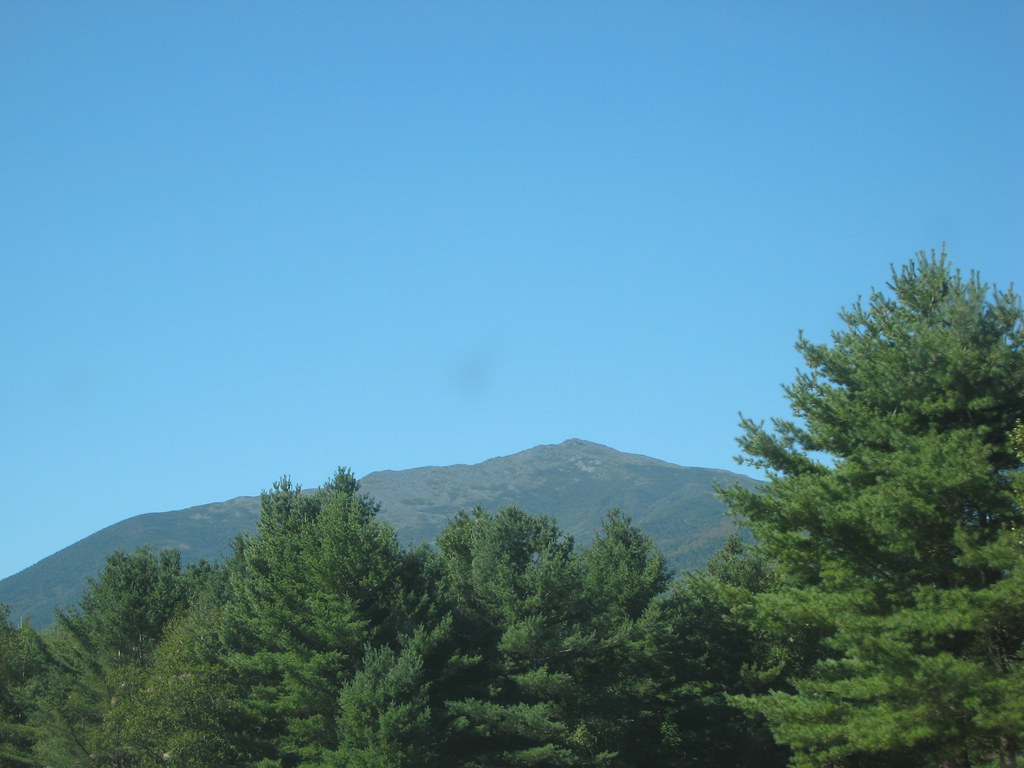 Stony BrookHiking · ~6 min drivePhoto: msprague, CC BY-SA 2.0 (via Flickr)Bear Springs TrailHiking · ~6 min drivePhoto: msprague, CC BY-SA 2.0 (via Flickr)
 Kenduskeag TrailHiking · ~7 min drivePhoto: John Hayes (gravelboy), CC BY 2.0 (via Flickr)
 Great GulfHiking · ~7 min drivePhoto: daveynin, CC BY 2.0 (via Flickr)
 Thompson FallsHiking · ~7 min drivePhoto: Ktr101, CC BY-SA 2.0 (via Flickr)KenduskeagHiking · ~7 min drivePhoto: John Hayes (gravelboy), CC BY 2.0 (via Flickr)

