Guyot Shelter
Campground
Campground · < 0.1 mi from the trail
Closure in the area
There's a closure order in White Mountain National Forest. It doesn't name Guyot Shelter, so check the source for the area it covers (2 listed).
Wild River Fire - Androscoggin Ranger District
Agency closure covering White Mountain National Forest · USFS · White Mountain National Forest
Rattlesnake Fire – Pemigewasset Ranger District
Agency closure covering White Mountain National Forest · USFS · White Mountain National Forest
Town Hall Road Camping and Fire Restrictions
Agency alert covering White Mountain National Forest · USFS · White Mountain National Forest
Lincoln Woods Trail Closure
Agency alert covering White Mountain National Forest · USFS · White Mountain National Forest
Forest Roads Status
Agency alert covering White Mountain National Forest · USFS · White Mountain National Forest
As of · Source: USFS · White Mountain National Forest. Agencies don't list every closure — check before you go.
Guyot Shelter is a Forest Service campground in the Pemigewasset Ranger District of White Mountain National Forest in New Hampshire. It sits within the national forest's boundaries, and the Forest Service manages the land. The shelter is a simple base for overnight stays. It has vault toilets, and a fee is charged for use. There are no other facilities listed, so plan on the basics only. The shelter makes an easy anchor for exploring the surrounding area. Bondcliff and West Bond are both hikes within a quarter mile, and the WM: Kancamagus (Central) climbing area is about 1.4 miles away. Garfield Ridge Shelter, another campground, is about 4.2 miles off.
Guyot Shelter
Campground
Gordi's Fish and Steak House
Restaurant
 If it rainsKen Gallager, CC BY-SA 4.0 · Wikimedia Commons
Places © OpenStreetMap contributors · Photos: Ken Gallager, CC BY-SA 4.0 (commons)
More in North ConwayNot on Roamze yet. Their page has how to reach them.
 BondcliffHikingPhoto: matt.a, CC BY 3.0 (via Wikimedia Commons)0.1 mi
 West BondHikingPhoto: Ktr101, CC BY-SA 2.0 (via Flickr)0.2 mi
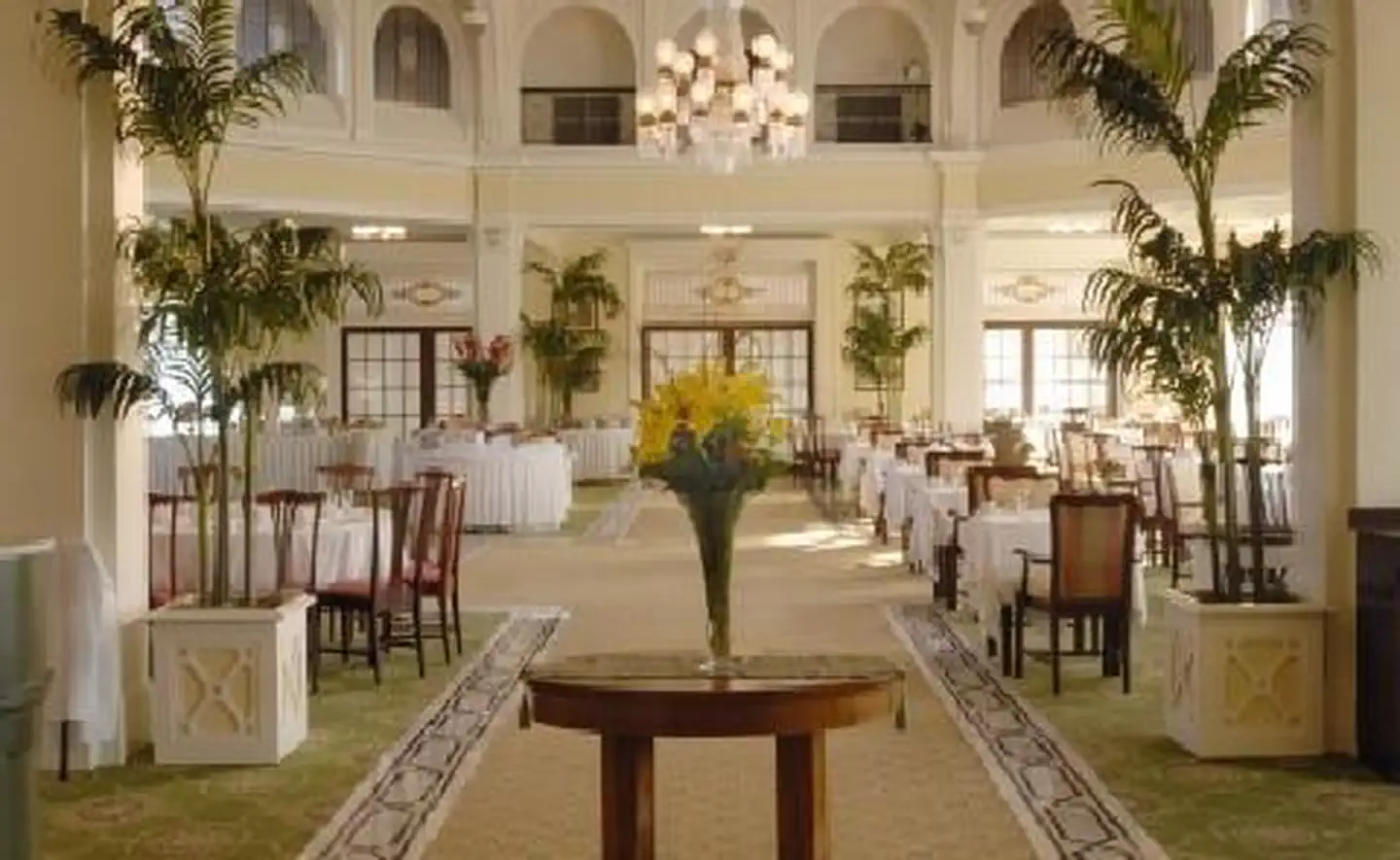 Omni Mount Washington Resort, Bretton WoodsLake fishing7.7 mi
 Pemigewasset RiverCanoeingPhoto: Public domain (via Wikimedia Commons)8.7 mi
Source: Roamze catalog (indexable pages within 10 miles, PostGIS distance)

