Garfield Ridge Shelter
- from $15
- fee
Caution today
Agency alerts are in effect for this area; weather is good · USFS, OpenWeather · checked just now
Is Garfield Ridge Shelter open right now?
Closure in the area
There's a closure order in White Mountain National Forest. It doesn't name Garfield Ridge Shelter, so check the source for the area it covers (3 listed).
Wild River Fire - Androscoggin Ranger District
Agency closure covering White Mountain National Forest · USFS · White Mountain National Forest
List of trail closures post-Hurricane Helene
Park closure covering Appalachian National Scenic Trail · NPS · Appalachian National Scenic Trail
Rattlesnake Fire – Pemigewasset Ranger District
Agency closure covering White Mountain National Forest · USFS · White Mountain National Forest
Black Bears Frequenting the McAfee Knob Area in Virginia
Park alert covering Appalachian National Scenic Trail · NPS · Appalachian National Scenic Trail
Town Hall Road Camping and Fire Restrictions
Agency alert covering White Mountain National Forest · USFS · White Mountain National Forest
As of · Source: USFS · White Mountain National Forest. Agencies don't list every closure — check before you go.
- At 4,006 ft
- Pemigewasset Ranger DistrictAppalachian National Scenic Trail · White Mountain National Forest
Garfield Ridge Shelter sits at about 3,900 feet on the eastern shoulder of Mt. Garfield, just off the Garfield Ridge Trail (part of the Appalachian Trail) in the Pemigewasset Ranger District of New Hampshire's White Mountain National Forest. The shelter is a 12-person "Adirondack" style structure, and the site also offers seven 4-person tent platforms, a composting privy, bear box and dishwashing area. A spring lies nearby, and the site is staffed by a caretaker from June through August. The shelter is managed by the Forest Service, and a fee is charged. Vault toilets are among the listed amenities. The shelter's location makes it an easy base for exploring the surrounding area. The Garfield Ridge Trail is about 1.5 miles away, and the Twin Brook hike is about 1.9 miles off. Gale River Loop campground is about 2.5 miles away, and the WM: Franconia Notch climbing area is about 2.6 miles away.
Local outfitters
- Northern Waters Outfitters47 mi away
Not on Roamze yet. Their page has how to reach them.
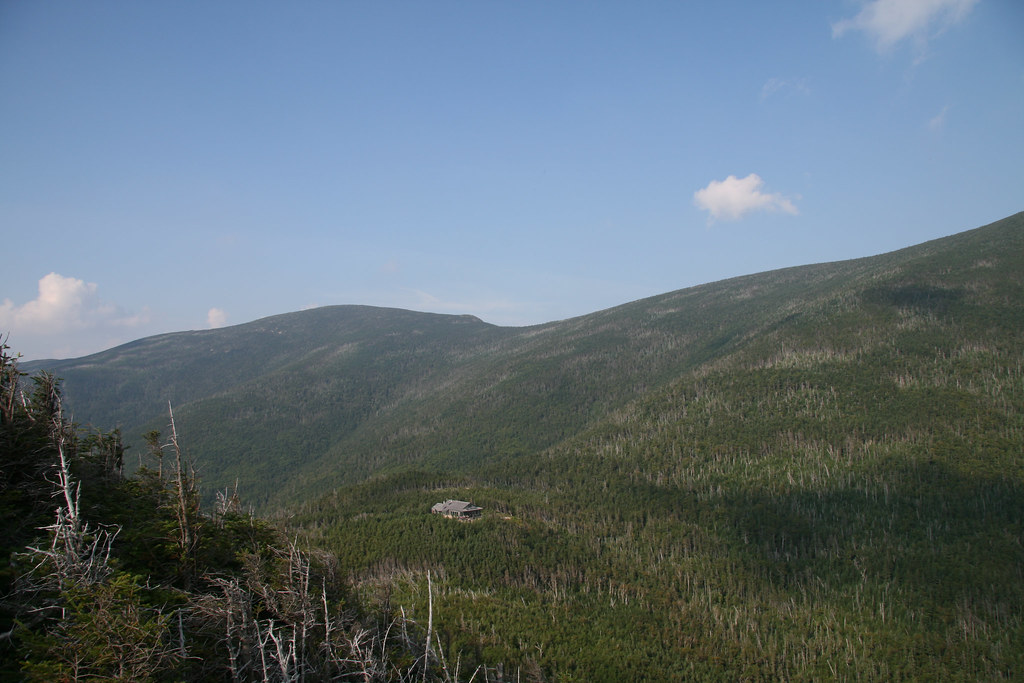 Garfield Ridge TrailHikingPhoto: timsackton, CC BY-SA 2.0 (via Flickr)1.5 mi
 Twin BrookHikingPhoto: Steve Shook from Moscow, Idaho, USA, CC BY 2.0 (via Wikimedia Commons)1.9 mi
- Gale River LoopCamping2.5 mi
- WM: Franconia NotchRock climbing2.6 mi
- Eagle CliffRock climbing3.5 mi
- Guyot ShelterCamping4.2 mi
 Pemigewasset RiverCanoeingPhoto: Public domain (via Wikimedia Commons)7.7 mi
 Omni Mount Washington Resort, Bretton WoodsLake fishing8.8 mi
Source: Roamze catalog (indexable pages within 10 miles, PostGIS distance)
- Sugarloaf 2 CampgroundCamping · ~12 min drive
- Thirteen FallsCamping · ~3 min drive
- Gale River LoopCamping · ~4 min drive
- Guyot ShelterCamping · ~7 min drive
- Haystack RoadCamping · ~7 min drive
- Cannon Mountain RV ParkCamping · ~8 min drive
- Lafayette CampgroundCamping · ~9 min drive
- Liberty SpringsCamping · ~9 min drive
- Liberty Spring TentsiteCamping · ~9 min drive
- Twin Mountain Motor Court & RV ParkCamping · ~10 min drive

