Basque Monument Trail
- 0.1 mi
- round trip
- 2 ft
- climb
- Gravel Road
- surface
- Out and back
- route
Basque Monument Trail is a short, easy mountain biking route in Nevada, about 0.12 miles from the start point. It sits on county land within Rancho San Rafael Regional Park, inside the Carson Ranger District of the Humboldt-Toiyabe National Forest, and the whole area is managed by county land. The trail is an out-and-back with a total length of about 0.24 miles. It is nearly flat, with a high point of 4,744 feet and a low of 4,737 feet, and the one-way climb is only about 2 feet. That makes it a quick stop for riders looking to stretch their legs or link up with other routes in the area. Spring and fall are the most comfortable times to ride. Typical averages from a nearby weather station in Reno show May highs around 72°F and October highs around 68°F, while July and August average in the low 90s. Evans Creek Trail is just 0.1 mile away, and the Nature Trail is about 0.2 mile off. For more riding, the Rancho Connector Trail and Evans Canyon Trail are each about 0.3 mile away.
- Evans Creek TrailMountain biking0.1 mi
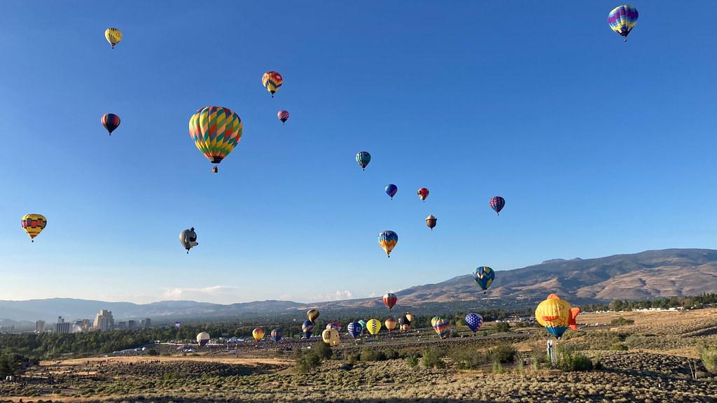 Nature TrailHikingPhoto: nonbinaryanalog, CC BY 2.0 (via Flickr)0.2 mi
- Rancho Connector TrailMountain biking0.3 mi
- Evans Canyon TrailMountain biking0.3 mi
- Comstock QuarryRock climbing0.5 mi
- Jewel BoulderRock climbing0.9 mi
- Basque BouldersRock climbing0.9 mi
- Alum CreekCanoeing3.4 mi
Source: Roamze catalog (indexable pages within 10 miles, PostGIS distance)
- Evans Creek TrailMountain biking · Next door
- Snake RunMountain biking · Next door
- Snake RunMountain biking · Next door
- Upper N-TrailMountain biking · ~1 min drive
- Basque Monument TrailMountain biking · Next door
- Reno Mizpah TrailMountain biking · Next door
- Upper N-TrailMountain biking · ~2 min drive
- Evans Creek TrailMountain biking · Next door
- Reno Mizpah TrailMountain biking · ~1 min drive
- Rancho Connector TrailMountain biking · Next door
Map and trail data © OpenStreetMap contributors
