Evans Canyon Trail
- 0.3 mi
- round trip
- 53 ft
- climb
- Singletrack
- surface
- Out and back
- route
- Mar–Jun, Sep–Oct
- best months
Is Evans Canyon Trail open right now?
Closure in the area
There's a closure order in Carson Ranger District. It doesn't name Evans Canyon Trail, so check the source for the area it covers (2 listed).
Hawk Fire Closure (Carson Ranger District)
Agency closure covering Carson Ranger District · Order 04-17-26-01-08 · USFS · Carson Ranger District
Elephant Fire Closure
Agency closure covering Humboldt-Toiyabe National Forest · Order 04-17-26-01-04 · USFS · Humboldt-Toiyabe National Forest
Floriston Fire Closure
Agency alert covering Carson Ranger District · Order 17-26-24 · USFS · Carson Ranger District
Power line construction along SR 88, Alpine County, California (Carson Ranger District)
Agency alert covering Carson Ranger District · USFS · Carson Ranger District
Over-Snow Vehicle Closure (Carson Ranger District)
Agency alert covering Carson Ranger District · Order 04-17-25-12 · USFS · Carson Ranger District
As of · Source: USFS · Carson Ranger District. Agencies don't list every closure — check before you go.
Evans Canyon Trail is a short, easy mountain biking route in Nevada, set within Rancho San Rafael Regional Park on county land in the Carson Ranger District of the Humboldt-Toiyabe National Forest. The trail is an out-and-back that covers about 0.6 miles, with a high point of 4,738 feet and a total elevation gain of about 53 feet. It starts at roughly 4,728 feet, and the steepest stretch comes early on, about 0.11 miles in, with a grade of about 5 percent. Spring and fall are the most comfortable times to ride. Typical averages from a nearby weather station in Reno show May highs around 72°F and October highs around 68°F, while July and August average in the low 90s. The trail sits among several other routes. The Rancho Connector Trail and Evans Creek Trail are each about 0.1 miles away, and the Basque Monument Trail is about 0.2 miles off. Climbers can find Comstock Quarry about 0.8 miles away.
Local outfitters
- Alpenglow Expeditions33 mi away
- West Shore Sports37 mi away
Not on Roamze yet. Their page has how to reach them.
- Rancho Connector TrailMountain biking0.1 mi
- Evans Creek TrailMountain biking0.1 mi
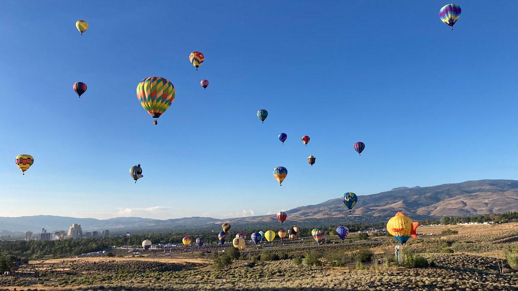 Nature TrailHikingPhoto: nonbinaryanalog, CC BY 2.0 (via Flickr)0.1 mi
- Basque Monument TrailMountain biking0.2 mi
- Comstock QuarryRock climbing0.8 mi
- Keystone BoulderRock climbing0.9 mi
- Jewel BoulderRock climbing1 mi
- Alum CreekCanoeing3.1 mi
Source: Roamze catalog (indexable pages within 10 miles, PostGIS distance)
- Evans Creek TrailMountain biking · Next door
- Reno Mizpah TrailMountain biking · Next door
- Upper N-TrailMountain biking · ~2 min drive
- Snake RunMountain biking · Next door
- Basque Monument TrailMountain biking · Next door
- Reno Mizpah TrailMountain biking · ~1 min drive
- Upper N-TrailMountain biking · ~1 min drive
- Evans Creek TrailMountain biking · Next door
- Reno Vista TrailMountain biking · ~1 min drive
- Basque Monument TrailMountain biking · Next door
Best time to visit Evans Canyon Trail
Best months: March–June and September–October. Best months have typical highs of 55–85 °F, lows of 30 °F or warmer (32 °F where the station doesn't record snow), at most one snowy day and no more than 12 wet days.
Jan
46° / 27°
7 wet
Feb
50° / 29°
6 wet
Mar
57° / 34°
6 wet
Apr
63° / 38°
5 wet
May
72° / 46°
5 wet
Jun
83° / 54°
3 wet
Jul
93° / 61°
2 wet
Aug
91° / 60°
2 wet
Sep
82° / 53°
2 wet
Oct
68° / 43°
3 wet
Nov
54° / 33°
5 wet
Dec
45° / 27°
7 wet
Typical high / low (°F) and days with rain or snow, 1991–2020. Measured at Reno Wfo, NV, 2.4 mi away at 4,987 ft. This station doesn't record snowfall. Source: NOAA NCEI U.S. Climate Normals 1991–2020.
Map and trail data © OpenStreetMap contributors
