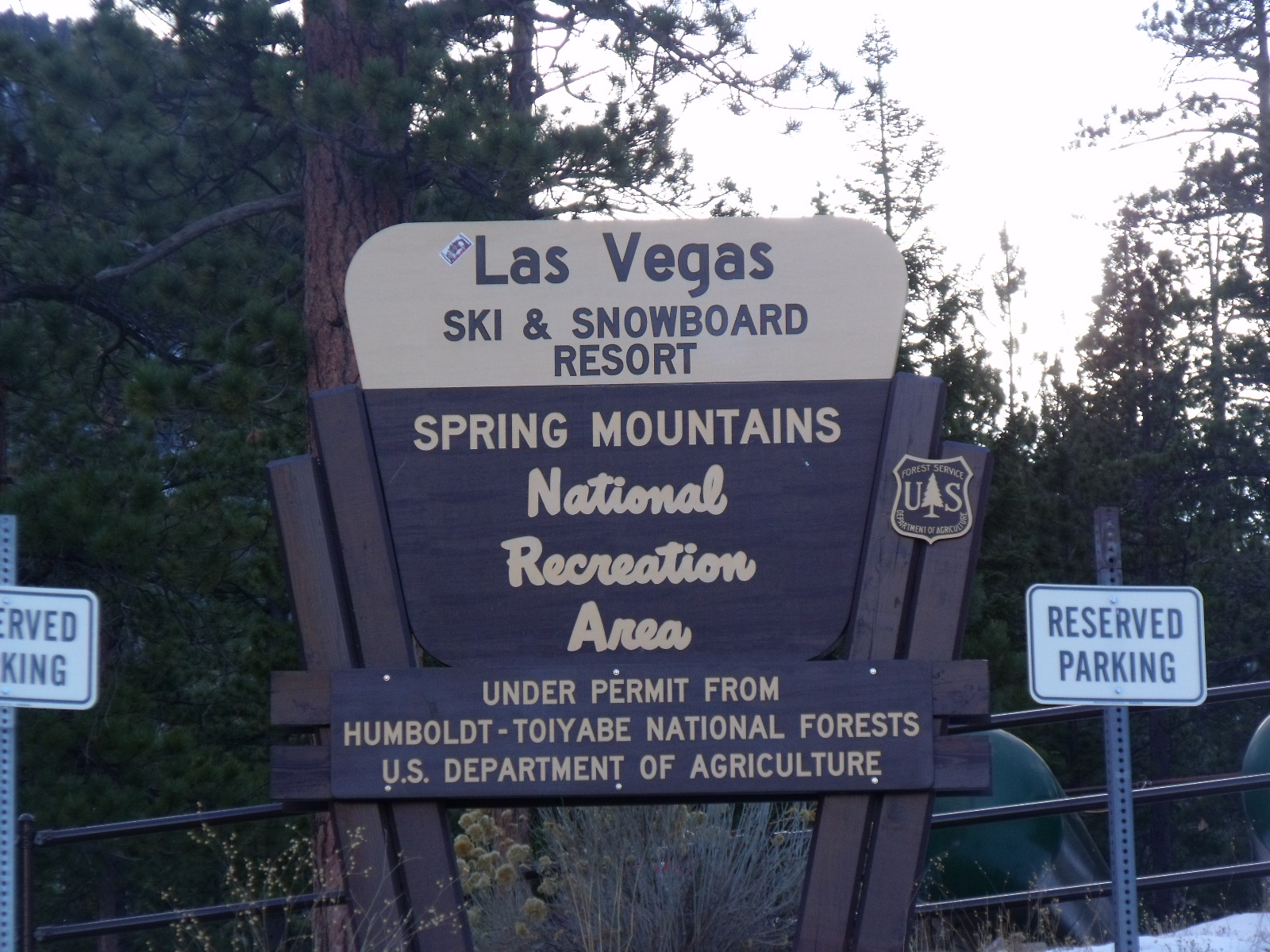
Lee Canyon Spur D
- 0.6 mi
- round trip
- 150 ft
- climb
- 5,462 ft
- high point
- Out and back
- route
Is LEE CANYON SPUR D open right now?
Closure in the area
There's a closure order in Humboldt-Toiyabe National Forest. It doesn't name LEE CANYON SPUR D, so check the source for the area it covers.
Elephant Fire Closure
Agency closure covering Humboldt-Toiyabe National Forest · Order 04-17-26-01-04 · USFS · Humboldt-Toiyabe National Forest
Area, Road, and Trail Closures (Spring Mountains National Recreation Area)
Agency alert covering Humboldt-Toiyabe National Forest · Order 04-17-25-04 · USFS · Humboldt-Toiyabe National Forest
Year-Round Fire Restrictions (Spring Mountains National Recreation Area)
Agency alert covering Humboldt-Toiyabe National Forest · Order 04-17-24-01 · USFS · Humboldt-Toiyabe National Forest
Vehicle Snow Chain Requirements during Inclement Weather (Spring Mountains National Recreation Area)
Agency alert covering Humboldt-Toiyabe National Forest · Order 04-17-23-01 · USFS · Humboldt-Toiyabe National Forest
Rainbow Canyon Flood Diversion Structure Closure (Spring Mountains National Recreation Area)
Agency alert covering Humboldt-Toiyabe National Forest · Order 04-17-15-01 · USFS · Humboldt-Toiyabe National Forest
As of · Source: USFS · Humboldt-Toiyabe National Forest. Agencies don't list every closure — check before you go.
Lee Canyon Spur D is a short, easy out-and-back hike in Nevada's Spring Mountains National Recreation Area, part of the Humboldt-Toiyabe National Forest. The trail is about a mile long, with a total elevation gain of 150 feet, and it starts and ends at roughly 5,462 feet. The climb is gentle, with the steepest stretch at about 0.43 miles in, and the route is rated easy. The hike makes a quick addition to a day in the recreation area. Rocky Gorge lies about 3 miles away, and Catch Pen is about 3.3 miles off. For an overnight stay, Hilltop and Mahogany Grove campgrounds are both about 7 miles from the trail.
- Rocky GorgeHiking3 mi
- Catch PenHiking3.3 mi
- Blue Tree LoopHiking3.9 mi
- HilltopCamping7 mi
- Mahogany GroveCamping7.1 mi
- Route 158Rock climbing7.2 mi
- The Robbery WallRock climbing7.7 mi
- Robber's RoostRock climbing7.7 mi
Source: Roamze catalog (indexable pages within 10 miles, PostGIS distance)
 Upper ShowgirlHiking · ~12 min drivePhoto: bahniuk, CC BY 3.0 (via Wikimedia Commons)
 North LoopHiking · ~13 min drivePhoto: bahniuk, CC BY 3.0 (via Wikimedia Commons)
- Robber's Roost TrailHiking · ~13 min drivePhoto: bahniuk, CC BY 3.0 (via Wikimedia Commons)
- Lucky Strike TrailHiking · ~14 min drive
 North Camp LoopHiking · ~12 min drivePhoto: bahniuk, CC BY 3.0 (via Wikimedia Commons)
 BristleconeHiking · ~16 min drivePhoto: Ken Lund, CC BY-SA 2.0 (via Flickr)
 Equestrian Switchback TrailHiking · ~13 min drivePhoto: Ken Lund, CC BY-SA 2.0 (via Flickr)
- Percocet TrailHiking · ~12 min drivePhoto: bahniuk, CC BY 3.0 (via Wikimedia Commons)
- Catch PenHiking · ~6 min drive
 Wildhorse RidgeHiking · ~13 min drivePhoto: redlicks, CC BY 3.0 (via Wikimedia Commons)