Fay-Luther
- 1.1 mi
- round trip
- 725 ft
- climb
- 5,336 ft
- high point
- Out and back
- route
- Apr–Jun, Sep–Oct
- best months
Fay-Luther is a short, easy out-and-back hike on Bureau of Land Management land in the Sierra Front Field Office, about a mile from the nearest town. The trail starts at roughly 4,980 feet and climbs to about 5,336 feet, with a total gain of 725 feet over its 2.2-mile length. The steepest part, a 14% grade, comes about three-quarters of the way in, so plan for a steady climb rather than a flat walk. Late spring and early fall are the most comfortable times to go. Typical averages from a nearby weather station in Minden, Nevada, put May highs around 73°F and September highs around 83°F, while July and August average near 90°F. The hike takes about an hour. Valley View Loop is just 0.3 miles away and Lonesome Trail is 0.4 miles away, so it's easy to pair with another short outing. Across the line in California, the West Fork Carson River offers canoeing about 4.6 miles off, and Hope Valley campground sits about 6.1 miles away.
Local outfitters
- Alpenglow Expeditions31 mi away
Not on Roamze yet. Their page has how to reach them.
Best time to go · Apr–Jun, Sep–Oct
Best time to visit Fay-Luther
Best months: April–June and September–October. Best months have typical highs of 55–85 °F, lows of 30 °F or warmer (32 °F where the station doesn't record snow), at most one snowy day and no more than 12 wet days.
Jan
47° / 19°
6 wet · 3 snow
Feb
51° / 22°
6 wet · 2 snow
Mar
58° / 27°
5 wet · 2 snow
Apr
64° / 30°
4 wet · 1 snow
May
73° / 38°
3 wet
Jun
83° / 44°
2 wet
Jul
91° / 49°
2 wet
Aug
90° / 47°
2 wet
Sep
83° / 40°
2 wet
Oct
71° / 31°
3 wet
Nov
57° / 23°
4 wet · 1 snow
Dec
46° / 19°
6 wet · 2 snow
Typical high / low (°F) and days with rain or snow, 1991–2020. Measured at Minden, NV, 6 mi away at 4,709 ft. The station sits about 600 ft lower than this place, so expect it a little cooler here. Source: NOAA NCEI U.S. Climate Normals 1991–2020.
Keep exploring — more trails worth the drive
 Photo: Jim Morefield, CC BY-SA 2.0 (via Flickr)
Lonesome Trail
Next door
0.64-mile out-and-back trail in Nevada with 102 ft gain.
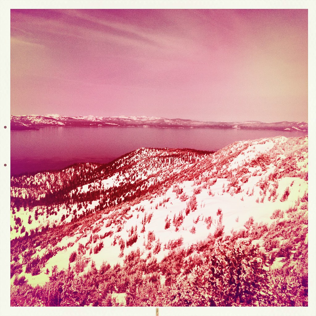 Photo: denverkid, CC BY 2.0 (via Flickr)
Monument Pass Trail
~8 min drive
5.3-mile out-and-back trail in California with 2,249 ft elevation gain and loss.
 Photo: DaltonKat2, CC BY-SA 2.0 (via Flickr)
Power Line Trail
~12 min drive
7.14-mile out-and-back hike in California with 508 ft elevation gain.
Photo: Jim Morefield, CC BY-SA 2.0 (via Flickr)Appaloosa Trail
Next door
2.10-mile out-and-back trail in Nevada with 121 ft of elevation gain.
 Photo: UncleVinny, CC BY 3.0 (via Wikimedia Commons)
Horsethief
~13 min drive
3.60-mile out-and-back trail in California with 2,345 ft elevation gain.
Photo: DaltonKat2, CC BY-SA 2.0 (via Flickr)Cold Creek Trail
~12 min drive
11-mile out-and-back hike in California with 1,574 ft elevation gain.
 Photo: jfdervin, CC BY-SA 2.0 (via Flickr)
Olympic Trail
~11 min drive
0.8-mile out-and-back trail in Nevada with 357 ft of elevation gain.
 Photo: simonov, CC BY-SA 2.0 (via Flickr)
4-Second Climbing Trail
~13 min drive
1.6-mile out-and-back climb in California with 1,177 ft gain and 6,775 ft max elevation.
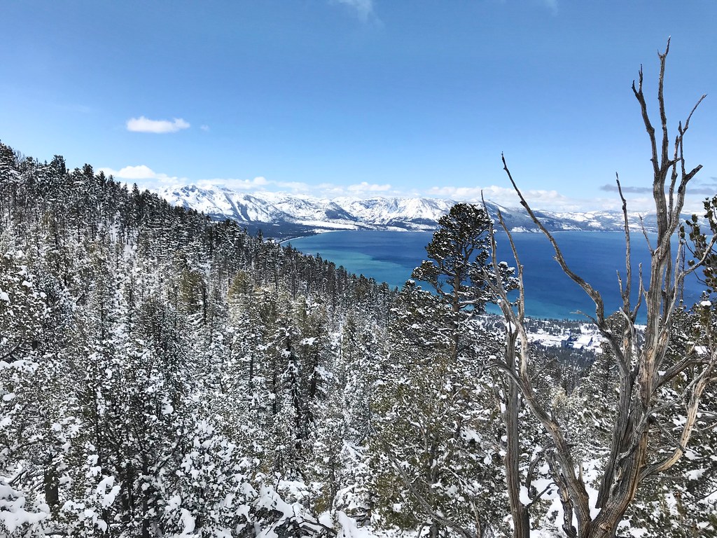 Photo: jfdervin, CC BY-SA 2.0 (via Flickr)
Van Sickle Trail
~12 min drive
6.50-mile out-and-back trail in Nevada with 862 ft gain and 2,258 ft loss.
Photo: jfdervin, CC BY-SA 2.0 (via Flickr)TRT: Spooner Summit to Kingsbury South
~11 min drive
Brief TRT segment with alpine views near Spooner Summit.


Map and trail data © OpenStreetMap contributors
