Echo Canyon Patrol Trail
- 4.1 mi
- round trip
- 1,122 ft
- climb
- 7,103 ft
- high point
- Out and back
- route
- May–Oct
- best months
Echo Canyon Patrol Trail is a 4.05-mile moderate hike on Sheldon National Wildlife Refuge in Nevada, managed by the U.S. Fish and Wildlife Service. The trail is an out-and-back with a total round-trip elevation gain of 1,122 feet, starting and ending at 6,168 feet and reaching a high point of 7,103 feet. The steepest section comes at about 3.7 miles in, where the grade reaches 14%. Summer is the most comfortable time to go. Typical averages from a nearby weather station at Denio, about 17 miles away, show July highs around 79°F and lows near 48°F, with only about three wet days in the month. Winter is much colder, with January highs around 35°F and lows near 22°F. The trip takes about 3.5 hours. The trail makes a good addition to a day on the refuge, and other places to visit nearby include the refuge's other routes and the surrounding national wildlife refuge lands.
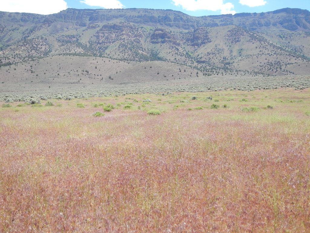 Hart Bar Interpretive TrailHiking · ~1h 25m drivePhoto: Matt Lavin, CC BY-SA 2.0 (via Flickr)
- Lake BypassHiking · ~30 min drive
- Upper High Rock Canyon TrailHiking · ~45 min drive
- Pine Forest Blue Lakes TrailHiking · ~54 min drive
- Tri Point TrailHiking · ~1h 8m drive
- Oregon Desert TrailHiking · ~1h 13m drive
- Crane Mountain National Recreation TrailHiking · ~1h 22m drive
- Highgrade National Recreation TrailHiking · ~1h 22m drive
- Old Deep Creek TrailHiking · ~1h 24m drive
- Cave Lake TrailHiking · ~1h 22m drive
Best time to visit Echo Canyon Patrol Trail
Best months: May–October. Best months have typical highs of 55–85 °F, lows of 30 °F or warmer (32 °F where the station doesn't record snow), at most one snowy day and no more than 12 wet days.
Jan
35° / 22°
12 wet
Feb
35° / 20°
12 wet
Mar
43° / 23°
14 wet
Apr
49° / 27°
12 wet
May
58° / 34°
10 wet
Jun
68° / 41°
7 wet
Jul
79° / 48°
3 wet
Aug
78° / 47°
3 wet
Sep
71° / 42°
4 wet
Oct
57° / 32°
6 wet
Nov
42° / 25°
10 wet
Dec
33° / 20°
12 wet
Typical high / low (°F) and days with rain or snow, 1991–2020. Measured at Denio 52 Wsw, NV, 17.4 mi away at 6,500 ft. The station sits about 600 ft lower than this place, so expect it a little cooler here. This station doesn't record snowfall. Source: NOAA NCEI U.S. Climate Normals 1991–2020.
Map and trail data © OpenStreetMap contributors
