Tri Point Trail
- 2.1 mi
- round trip
- 361 ft
- climb
- 5,391 ft
- high point
- Out and back
- route
- May–Jun, Aug–Oct
- best months
Tri Point Trail is an easy out-and-back hike on Bureau of Land Management land in California's Applegate Field Office, about 2 miles from the trailhead. The route is roughly 4 miles long, with a total climb of about 360 feet, and it starts and ends at the high point of about 5,391 feet. The trail is back-loaded, so the steepest stretch comes early, around mile 1.1, with a grade of about 12 percent. The most comfortable months for a visit are typically June and September, when typical averages from the nearby Ft Bidwell weather station run from highs of about 75°F to 77°F and see only a couple of wet days. Winter is cold and snowy, with highs in the low 40s and snow on about six days a month in December and January. The trip takes about 1.5 hours. Cave Lake Campground and Cave Lake Boating Site are both about 8.6 miles away, and the Crane Mountain National Recreation Trail is about 8.5 miles off. Deep Creek Forest Camp, across the line in Oregon, is about 8.4 miles away.
- Deep Creek Forest CampCamping8.4 mi
- Crane Mountain National Recreation TrailHiking8.5 mi
- Cave Lake Boating SiteLake fishing8.6 mi
- Cave Lake CampgroundCamping8.6 mi
- Cave Lake TrailHiking8.8 mi
- Lily Lake Boating SiteLake fishing8.8 mi
- Lily Lake TrailHiking8.9 mi
- Old Deep Creek TrailHiking9.5 mi
Source: Roamze catalog (indexable pages within 10 miles, PostGIS distance)
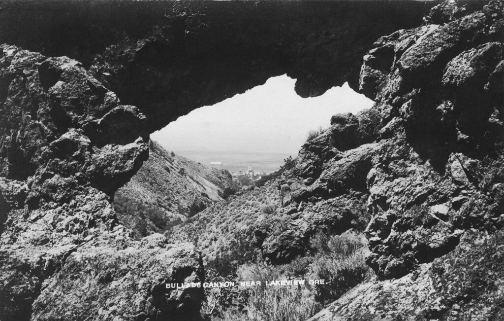 Bullard Canyon TrailHiking · ~36 min drivePhoto: OSU Special Collections & Archives : Commons, No known copyright restrictions (via Flickr)
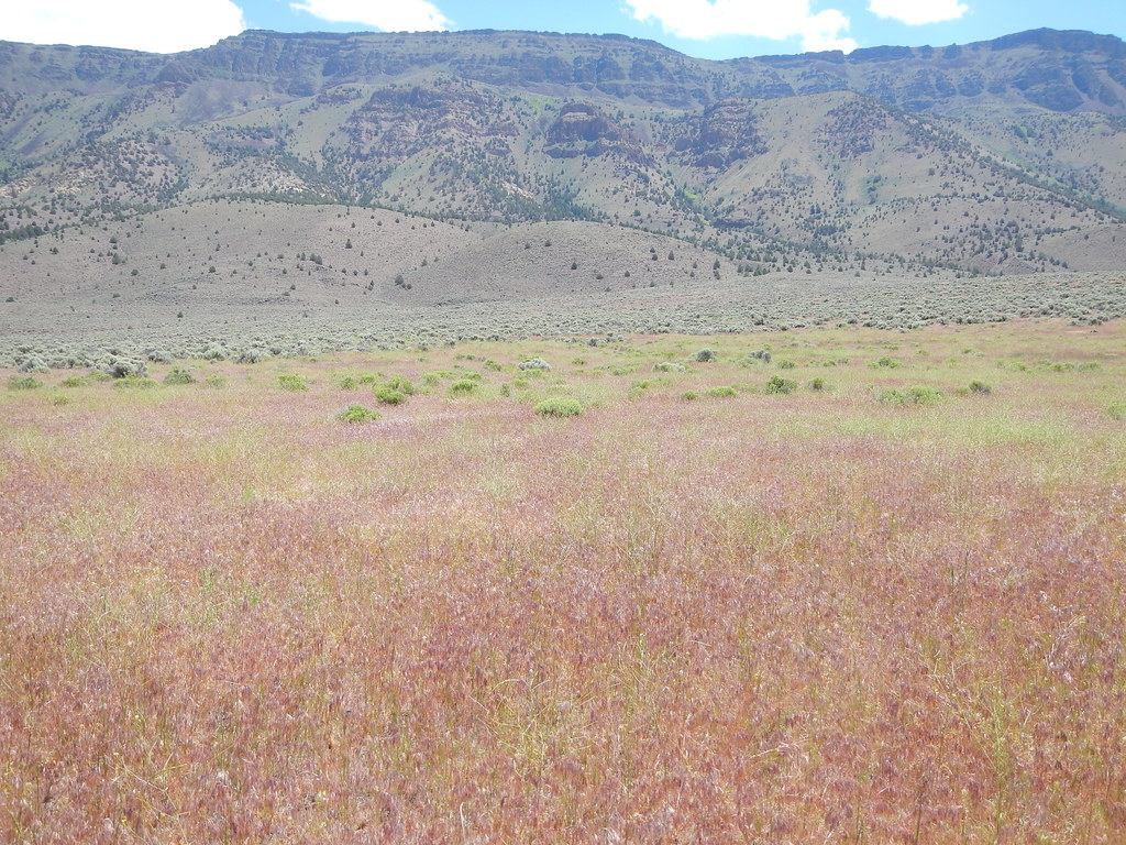 Hart Bar Interpretive TrailHiking · ~57 min drivePhoto: Matt Lavin, CC BY-SA 2.0 (via Flickr)
- Crane Mtn. Nat'l Rec TrailHiking · ~28 min drive
- NORDIC TRAIL #146DHiking · ~28 min drive
- Crane Mt MotorizedHiking · ~20 min drive
- Crane Mountain National Recreation TrailHiking · ~15 min drive
- Southern Oregon Intertie TrailHiking · ~52 min drive
- Cottonwood CreekHiking · ~1h 3m drive
- NORDIC TRAIL #146BHiking · ~30 min drive
- Old Deep Creek TrailHiking · ~16 min drive
Best time to visit Tri Point Trail
Best months: May–June and August–October. Best months have typical highs of 55–85 °F, lows of 30 °F or warmer (32 °F where the station doesn't record snow), at most one snowy day and no more than 12 wet days.
Jan
40° / 23°
11 wet · 6 snow
Feb
44° / 25°
10 wet · 4 snow
Mar
51° / 30°
11 wet · 3 snow
Apr
57° / 33°
9 wet · 2 snow
May
66° / 40°
8 wet
Jun
75° / 46°
5 wet
Jul
86° / 54°
2 wet
Aug
85° / 51°
2 wet
Sep
77° / 45°
2 wet
Oct
64° / 36°
4 wet · 1 snow
Nov
48° / 29°
9 wet · 3 snow
Dec
38° / 22°
11 wet · 6 snow
Typical high / low (°F) and days with rain or snow, 1991–2020. Measured at Ft Bidwell, CA, 10.3 mi away at 4,739 ft. The station sits about 700 ft lower than this place, so expect it a little cooler here. Source: NOAA NCEI U.S. Climate Normals 1991–2020.

Map and trail data © OpenStreetMap contributors
