Ousel Falls
- 6,603 ft
- elevation
- Jul–Sep
- best months
Caution at last check
Agency alerts are in effect for this area; weather is good · USFS, OpenWeather · checked 22 h ago
Is Ousel Falls open right now?
Closure in the area
There's a closure order in Bozeman Ranger District. It doesn't name Ousel Falls, so check the source for the area it covers (17 listed).
Hyalite Canyon South Road Closure Order
Agency closure covering Bozeman Ranger District · Order 01-11-06-27-04 · USFS · Bozeman Ranger District
Sourdough/Bozeman Creek Trailhead and Trail Closure
Agency closure covering Bozeman Ranger District · Order 01-11-06-27-02 · USFS · Bozeman Ranger District
NFSR #1700 South Plateau Road Closure
Agency closure covering Custer Gallatin National Forest · USFS · Custer Gallatin National Forest
Storm Castle Creek Trail #185 Temporarily Closed Due to Storm Damage
Agency closure covering Bozeman Ranger District · Order 01-11-06-26-07 · USFS · Bozeman Ranger District
Hyalite Porcupine Buffalo Horn Summer Interim Travel Order and Map and Order # 01-11-00-26-02
Agency closure covering Custer Gallatin National Forest · Order 01-11-00-26-02 · USFS · Custer Gallatin National Forest
As of · Source: USFS · Bozeman Ranger District. Agencies don't list every closure — check before you go.
Ousel Falls is a waterfall in the Bozeman Ranger District of Custer Gallatin National Forest in Montana, about 1.3 miles from Big Sky. It sits at roughly 6,600 feet. Summer is the most comfortable time to visit. Typical averages from a nearby weather station in Big Sky show July highs around 78°F with lows near 41°F, while winter highs stay in the 20s and 30s. Several trails start close by. Second Yellow Mule is about 1.8 miles away, and Uplands Trail and Mountain to Meadow are each about 2 miles off. Paddlers can reach the West Fork Gallatin River, about 3.3 miles away.
- Elevation
- 6,603 ft
Elevation from USGS 3D Elevation Program terrain data (about 10 m resolution).
- Second Yellow MuleHiking1.8 mi
 Uplands TrailHikingPhoto: Bas van Oorschot, CC BY-SA 3.0 (via Wikimedia Commons)2 mi
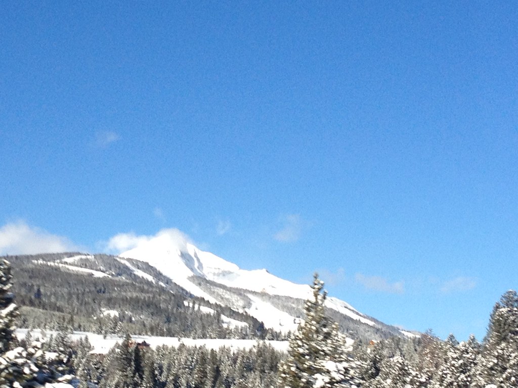 Mountain to MeadowHikingPhoto: senatortester, Public Domain Mark (via Flickr)2 mi
- West Fork Gallatin RiverCanoeing3.3 mi
- Yellow Mule CabinCamping5.2 mi
- Buck CreekRock climbing6.6 mi
- Calcite CornerRock climbing6.6 mi
- Red CliffCamping6.6 mi
Source: Roamze catalog (indexable pages within 10 miles, PostGIS distance)
 Rustic FallsWaterfall · ~1h 3m drivePhoto: James St. John, CC BY 2.0 (via Wikimedia Commons)
 Firehole FallsWaterfall · ~1h 22m drivePhoto: WikiBunny11, CC BY-SA 3.0 (via Wikimedia Commons)
 Gibbon FallsWaterfall · ~1h 24m drivePhoto: Daniel Mayer, CC BY-SA 3.0 (via Wikimedia Commons)
 Cascades of the FireholeWaterfall · ~1h 24m drivePhoto: James St. John, CC BY 2.0 (via Wikimedia Commons)
 Virginia CascadeWaterfall · ~1h 25m drivePhoto: Rose Heil, Public domain (via Wikimedia Commons)
 Osprey FallsWaterfall · ~1h 6m drivePhoto: Unknown authorUnknown author, Public domain (via Wikimedia Commons)
- Cedar FallsWaterfall · ~15 min drive
- Hoodoo CascadeWaterfall · ~19 min drive
- Pioneer FallsWaterfall · ~21 min drive
- Alpine FallsWaterfall · ~37 min drive
Also worth it near here
Best time to visit Ousel Falls
Best months: July–September. Best months have typical highs of 55–85 °F, lows of 30 °F or warmer (32 °F where the station doesn't record snow), at most one snowy day and no more than 12 wet days.
Jan
30° / 9°
13 wet
Feb
34° / 9°
11 wet
Mar
42° / 17°
12 wet
Apr
48° / 23°
11 wet
May
58° / 30°
14 wet
Jun
67° / 36°
14 wet
Jul
78° / 41°
11 wet
Aug
77° / 39°
11 wet
Sep
68° / 33°
10 wet
Oct
53° / 25°
10 wet
Nov
37° / 16°
11 wet
Dec
27° / 9°
14 wet
Typical high / low (°F) and days with rain or snow, 1991–2020. Measured at Big Sky 2wnw, MT, 2.8 mi away at 6,590 ft. This station doesn't record snowfall. Source: NOAA NCEI U.S. Climate Normals 1991–2020.

