Fr 62 Upper Hyalite Creek Road 070f
Campground
Campground · 3.8 mi from the trail
Closure in the area
There's a closure order in Bozeman Ranger District. It doesn't name Alpine Falls, so check the source for the area it covers (17 listed).
Hyalite Canyon South Road Closure Order
Agency closure covering Bozeman Ranger District · Order 01-11-06-27-04 · USFS · Bozeman Ranger District
Sourdough/Bozeman Creek Trailhead and Trail Closure
Agency closure covering Bozeman Ranger District · Order 01-11-06-27-02 · USFS · Bozeman Ranger District
NFSR #1700 South Plateau Road Closure
Agency closure covering Custer Gallatin National Forest · USFS · Custer Gallatin National Forest
Storm Castle Creek Trail #185 Temporarily Closed Due to Storm Damage
Agency closure covering Bozeman Ranger District · Order 01-11-06-26-07 · USFS · Bozeman Ranger District
Hyalite Porcupine Buffalo Horn Summer Interim Travel Order and Map and Order # 01-11-00-26-02
Agency closure covering Custer Gallatin National Forest · Order 01-11-00-26-02 · USFS · Custer Gallatin National Forest
As of · Source: USFS · Bozeman Ranger District. Agencies don't list every closure — check before you go.
Alpine Falls is a waterfall in the Bozeman Ranger District of Custer Gallatin National Forest in Montana, about 9 miles from the town of South Glastonbury. One restricts recreational target shooting in the Hyalite drainage. Hyalite Creek sits just 0.1 mile away, and the Hyalite Creek Trail is about 0.3 mile off. Horseshoe Basin lies roughly 2 miles away. Climbers can head to Hyalite Canyon, about 4.6 miles away.
Fr 62 Upper Hyalite Creek Road 070f
Campground
Places © OpenStreetMap contributors
More in EmigrantElevation from USGS 3D Elevation Program terrain data (about 10 m resolution).
 Hyalite CreekHikingPhoto: Matt Lavin from Bozeman, Montana, USA, CC BY-SA 2.0 (via Wikimedia Commons)0.1 miHyalite Creek TrailHikingPhoto: Matt Lavin from Bozeman, Montana, USA, CC BY-SA 2.0 (via Wikimedia Commons)0.3 mi
Source: Roamze catalog (indexable pages within 10 miles, PostGIS distance)
 Rustic FallsWaterfall · ~58 min drivePhoto: James St. John, CC BY 2.0 (via Wikimedia Commons)
 Tower FallWaterfall · ~1h 16m drivePhoto: Daniel Mayer, CC BY-SA 3.0 (via Wikimedia Commons)
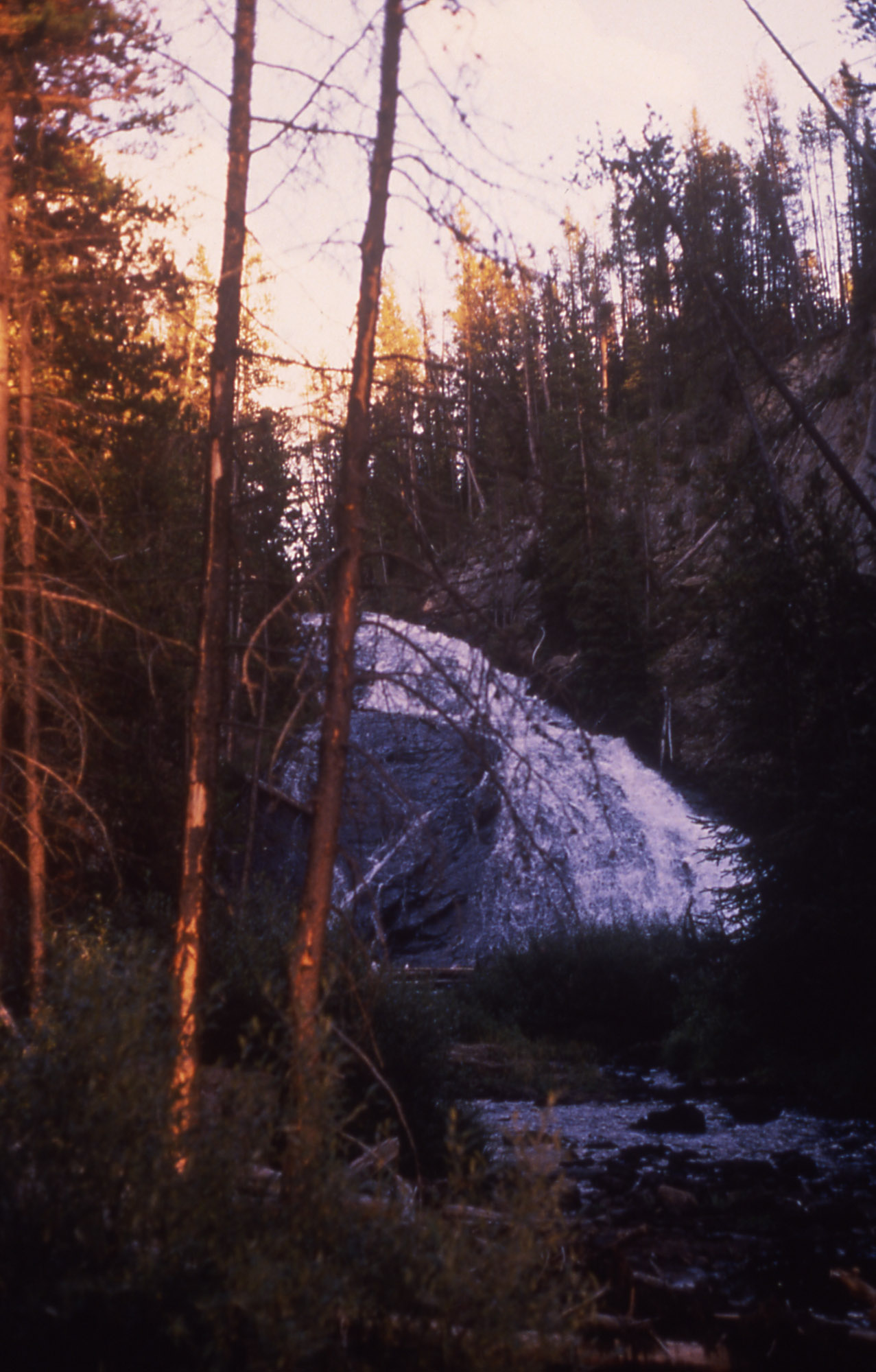 Virginia CascadeWaterfall · ~1h 24m drivePhoto: Rose Heil, Public domain (via Wikimedia Commons)
 Osprey FallsWaterfall · ~59 min drivePhoto: Unknown authorUnknown author, Public domain (via Wikimedia Commons)
