Storm Peak
- 5,638 ft
- summit
- Jul–Sep
- best months
Is Storm Peak open right now?
Alert in the area
The Forest Service lists an alert for Lolo National Forest.
East Fork Big Creek Road & Trail Closure- Superior Ranger District
Agency alert covering Lolo National Forest · Order 26-003- · USFS · Lolo National Forest
As of · Source: USFS · Lolo National Forest. Agencies don't list every closure — check before you go.
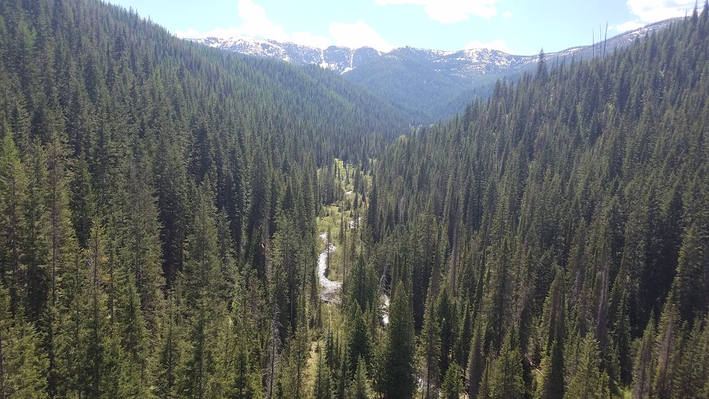
Storm Peak is a summit of 5,638 feet in the Superior Ranger District of Lolo National Forest in western Montana, about 3 miles from the small community of Saltese. Summer is the most comfortable time to go. Typical averages from a nearby weather station at a similar elevation show July and August highs around 70°F with only about six wet days a month, while winter highs stay near 28°F. Several trails start close by. Silver/Dominion Creek Cutoff is about a mile away, and Gilt Edge Creek and Dominion Peak are both within 3 miles. For an overnight base, Deer Creek Campground sits about 7 miles off.
Conditions and forecast
Daily highs and lows, wind and the chance of precipitation at the summit for the next 7 days, from the Open-Meteo model.
- Summit elevation
- 5,638 ft
Elevation from USGS 3D Elevation Program terrain data (about 10 m resolution).
We don't know of a mapped trail or route to the summit of Storm Peak. Plan the approach with local maps, a guidebook or a local guide, and check conditions before you go.
Questions about Storm Peak
How tall is Storm Peak?
5,638 ft (1,718 m).
Is there a trail to the top of Storm Peak?
We don't know of a mapped trail or route to the summit. Plan the approach with local maps, a guidebook or a local guide.
- SILVER/DOMINION CREEK CUTOFFHiking1.2 mi
- Gilt Edge CreekHiking2.2 mi
- DOMINION PEAKHiking2.8 mi
- SILVER/DOMINION CREEKHiking2.8 mi
- SALTESE/RANDOLPH CREEK LOOPHiking2.8 mi
 Saint Regis RiverCanoeingPhoto: Ken Gallager, CC BY-SA 4.0 (via Wikimedia Commons)4.9 mi
- Deer Creek CampgroundCamping7.3 mi
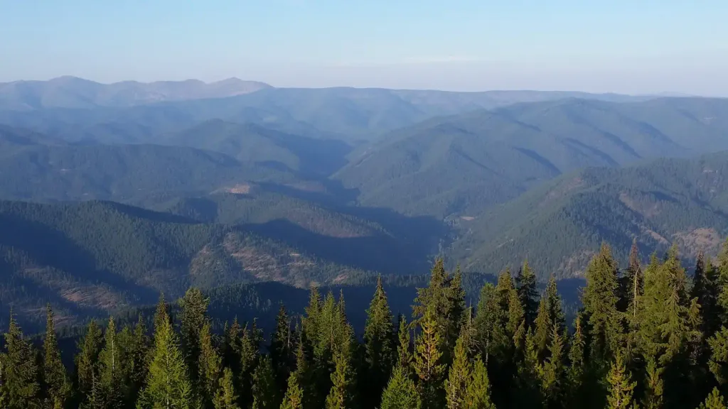 Up Up LookoutCampingPhoto: Recreation.gov (RIDB) / public domain9 mi
Source: Roamze catalog (indexable pages within 10 miles, PostGIS distance)
- Saltese MountainSummit · ~4 min drive
- Haugan MountainSummit · ~7 min drive
- Bernier PointSummit · ~8 min drive
- Malin PointSummit · ~14 min drive
- Hawk MountainSummit · ~14 min drive
- Turner PeakSummit · ~15 min drive
- Up Up MountainSummit · ~15 min drive
- Ward PeakSummit · ~17 min drive
- Arid PeakSummit · ~19 min drive
- Wonderful PeakSummit · ~19 min drive
Also worth it near here
Best time to visit Storm Peak
Best months: July–September. Best months have typical highs of 55–85 °F, lows of 30 °F or warmer (32 °F where the station doesn't record snow), at most one snowy day and no more than 12 wet days.
Jan
28° / 19°
19 wet
Feb
28° / 19°
17 wet
Mar
34° / 22°
19 wet
Apr
40° / 27°
17 wet
May
50° / 36°
15 wet
Jun
58° / 42°
13 wet
Jul
70° / 52°
6 wet
Aug
69° / 51°
6 wet
Sep
59° / 44°
8 wet
Oct
44° / 32°
13 wet
Nov
32° / 23°
17 wet
Dec
27° / 18°
18 wet
Typical high / low (°F) and days with rain or snow, 1991–2020. Measured at Mullan Pass Vor/Dme, ID, 8.2 mi away at 6,028 ft. This station doesn't record snowfall. Source: NOAA NCEI U.S. Climate Normals 1991–2020.