Bartlett Mountain
- 7,699 ft
- summit
- 1
- way up
Is Bartlett Mountain open right now?
Alert in the area
The Forest Service lists 6 alerts for Flathead National Forest.
Ashley Lake North Campground Closure
Agency alert covering Flathead National Forest · Order 01-10- · USFS · Flathead National Forest
Camp Creek Fire Updated Trail Closure
Agency alert covering Flathead National Forest · Order 01-10- · USFS · Flathead National Forest
FK&L Area Closed to Public Access Starting July 22, 2026
Agency alert covering Flathead National Forest · Order 01-10- · USFS · Flathead National Forest
Trail 800 Tally-Ashely Closure
Agency alert covering Flathead National Forest · Order 01-10- · USFS · Flathead National Forest
Ryan Creek Occupancy and Use Order
Agency alert covering Flathead National Forest · Order 1-10- · USFS · Flathead National Forest
As of · Source: USFS · Flathead National Forest. Agencies don't list every closure — check before you go.
Bartlett Mountain is a summit in Montana's Bob Marshall Wilderness, within the Spotted Bear Ranger District of Flathead National Forest. The closest town is Condon, about 16 miles away. Because it sits inside designated wilderness, any trip here is a wilderness outing on national forest land. Several hikes lie within a few miles of the summit. The Bartlett Mtn. hike is about 2.4 miles away and Bartlett about 3.1 miles. Burnt Creek and Una Mtn. are each roughly 3.2 miles off.
Conditions and forecast
Daily highs and lows, wind and the chance of precipitation at the summit and route start for the next 7 days, from the Open-Meteo model.
- Summit elevation
- 7,699 ft
Elevation from USGS 3D Elevation Program terrain data (about 10 m resolution).
Map © Mapbox © OpenStreetMap contributors Questions about Bartlett Mountain
How tall is Bartlett Mountain?
7,699 ft (2,347 m).
How many routes go to the summit of Bartlett Mountain?
One: Bartlett Mtn..
When is the best time to climb Bartlett Mountain?
Year-round.
- Bartlett Mtn.Hiking2.4 mi
- BartlettHiking3.1 mi
- Burnt CreekHiking3.2 mi
- Una Mtn.Hiking3.2 mi
- Butcher Mtn.Hiking3.5 mi
- Main South ForkHiking4.7 mi
- Lime CreekHiking4.9 mi
- Sandstone CreekHiking4.9 mi
Source: Roamze catalog (indexable pages within 10 miles, PostGIS distance)
 Turtlehead MountainSummit · ~20 min drivePhoto: Stan Shebs, CC BY-SA 3.0 (via Wikimedia Commons)
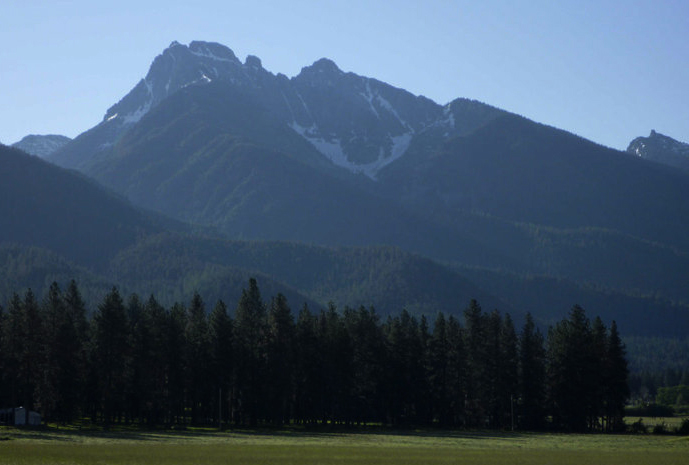 Mount CalowahcanSummit · ~49 min drivePhoto: Run shane run Shane Thomas McMillan, CC BY-SA 3.0 (via Wikimedia Commons)
- Butcher MountainSummit · ~7 min drive
- Charlotte PeakSummit · ~9 min drive
- Lena PeakSummit · ~10 min drive
- Tillson PeakSummit · ~12 min drive
- Shaw MountainSummit · ~12 min drive
- Kid MountainSummit · ~12 min drive
- Fossil MountainSummit · ~12 min drive
- Gordon MountainSummit · ~12 min drive

