Big Park Trail
- 0.6 mi
- round trip
- 296 ft
- climb
- 6,571 ft
- high point
- Out and back
- route
- Jul–Sep
- best months
Is Big Park Trail open right now?
Closure in the area
There's a closure order in Custer Gallatin National Forest. It doesn't name Big Park Trail, so check the source for the area it covers (13 listed).
NFSR #1700 South Plateau Road Closure
Agency closure covering Custer Gallatin National Forest · USFS · Custer Gallatin National Forest
Pine Grove Campground Closure
Agency closure covering Beartooth Ranger District · Order 01-11-82-26-04 · USFS · Beartooth Ranger District
Hyalite Porcupine Buffalo Horn Summer Interim Travel Order and Map and Order # 01-11-00-26-02
Agency closure covering Custer Gallatin National Forest · Order 01-11-00-26-02 · USFS · Custer Gallatin National Forest
Hyalite Porcupine Buffalo Horn Winter Interim Travel Order and Map Order Number: #01-11-00-26-01
Agency closure covering Custer Gallatin National Forest · USFS · Custer Gallatin National Forest
Glacier Lake Road #2421 Closure Order Number: # 01-11-82-26- 01
Agency closure covering Custer Gallatin National Forest · Order 01-11-82-26- · USFS · Custer Gallatin National Forest
As of · Source: USFS · Custer Gallatin National Forest. Agencies don't list every closure — check before you go.
Big Park Trail is an easy out-and-back hike of about 1.1 miles in the Absaroka-Beartooth Wilderness, part of the Beartooth Ranger District of Custer Gallatin National Forest in Montana. The Forest Service manages the land, and the trail begins at about 6,563 feet, rising to a high point of 6,571 feet before returning to the start. The climb is rolling, with a total gain of 296 feet, and the steepest stretch comes at about 0.27 miles in, where the grade reaches 7 percent. Summer is the most comfortable time to go. Typical averages from the nearby Mystic Lake weather station put July highs around 75°F with lows near 50°F, while winter highs there sit in the low 30s. The trip takes about half an hour, so it works well as a short outing. The Stillwater River, a canoeing route, is about 0.6 miles away, and Wounded Man Creek and Lake of the Woods offer more hiking within about 3 miles. Columbine Pass is roughly 4.6 miles off.
- Stillwater RiverCanoeing0.6 mi
- Wounded Man CreekHiking1.8 mi
- Lake of the WoodsHiking2.9 mi
- Columbine PassHiking4.6 mi
- Horseshoe MtnHiking5.9 mi
- Pinchot LakeHiking6.1 mi
- South Central RegionRock climbing6.3 mi
- Horseshoe BasinHiking6.9 mi
Source: Roamze catalog (indexable pages within 10 miles, PostGIS distance)
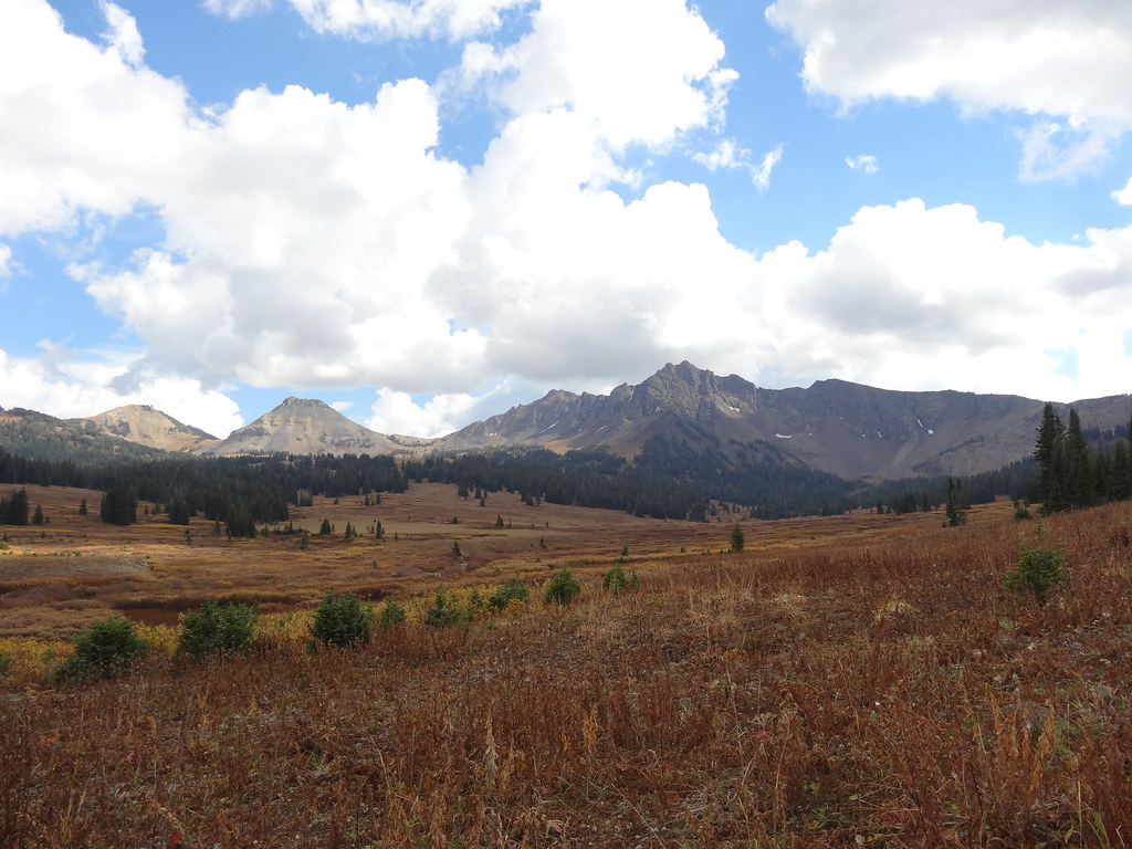 Wolverine Pass CutoffHiking · ~17 min drivePhoto: Forest Service - Northern Region, Public Domain Mark (via Flickr)
 Stillwater RiverHiking · ~17 min drivePhoto: Forest Service - Northern Region, Public Domain Mark (via Flickr)
- Grasshopper GlacierHiking · ~14 min drive
- Gorge BypassHiking · ~17 min drivePhoto: Forest Service - Northern Region, Public Domain Mark (via Flickr)
 West RosebudHiking · ~20 min drivePhoto: Matt Lavin, CC BY-SA 2.0 (via Flickr)
- Slough CreekHiking · ~15 min drive
 Woodbine FallsHiking · ~18 min drivePhoto: Forest Service - Northern Region, Public domain (via Wikimedia Commons)
- Wounded Man CreekHiking · ~3 min drive
- Huckleberry TrailHiking · ~15 min drive
- Horseshoe MtnHiking · ~10 min drive
Best time to visit Big Park Trail
Best months: July–September. Best months have typical highs of 55–85 °F, lows of 30 °F or warmer (32 °F where the station doesn't record snow), at most one snowy day and no more than 12 wet days.
Jan
34° / 18°
8 wet
Feb
34° / 17°
9 wet
Mar
41° / 22°
11 wet
Apr
48° / 27°
12 wet
May
57° / 35°
14 wet
Jun
66° / 43°
14 wet
Jul
75° / 50°
12 wet
Aug
74° / 50°
11 wet
Sep
65° / 42°
10 wet
Oct
52° / 32°
10 wet
Nov
40° / 24°
9 wet
Dec
33° / 18°
9 wet
Typical high / low (°F) and days with rain or snow, 1991–2020. Measured at Mystic Lake, MT, 12.6 mi away at 6,544 ft. This station doesn't record snowfall. Source: NOAA NCEI U.S. Climate Normals 1991–2020.

Map and trail data © OpenStreetMap contributors
